Pictures & Words
The American Southwest: Epilogue
It's been a month since I've returned from this trip. I want to keep referring to it as 'a trip of a lifetime', but I'm hoping that's wildly inaccurate. I want to go back. Soon! And many more times!! One of the most interesting aspects of my sharing of this trip is that my wife really wants to go along next time. Maybe not for two weeks, but she's just amazed at the beauty and wonder of the places that we visited. That, and she really likes rocks. I'm so grateful that she was willing to deal with the house and livestock on her own while I went out on this trip.
A huge thank you goes to Rick Decker for arranging this trip and being such a great travel guide and partner. Rick does this fairly regularly, and I can completely understand why. It's easy to be drawn into the stark beauty, the bizarre and wonderful colors and weird formations, and the lush barrenness that we experienced. I will mention that it was nice to get back to the humidity of Wisconsin (although I'm sick of it now...). We take a lot for granted around here. Green. Lots and lots of water. Visiting this area was in many ways like visiting another world!
Speaking of the 'other world', the inhabitants were terrific. Friendly, accommodating, generous, and incredibly helpful. We were really well taken care of, and that really added a terrific dimension to our trip—one that isn't easily captured on film (or X3 sensors, as the case may be). For those unnamed friends—thank you for your wonderful and kind hospitality!
Thanks also to Kendall Gelner, who had to leave us too soon. I hope to have a chance to go shooting with you again soon (maybe it'll be in Chicago). And it was great to see Laurence again—it seemed like only last year that we were planting some rhododendrons for him in the woods... :-). And a big thank you to Sigma, for sending us lenses to test out and shoot with, as well as the preproduction SD15s.
And finally, for those of you who have had the patience to read all this rambling and go through the photos—thanks to you! I started this to share with my family and friends: I thought it might be nice to do a 'trip report'. But the response I've gotten has been better than I had ever thought. Not only family and friends, but friends of family and friends of friends. I checked my host data and saw that I had nearly 2000 unique visitors to the site for this month. My normal totals are more like 200. I hope for all of you who visited that you found something that caught your fancy. I hope that I was able to share some of the marvelous wonder of these places. And I really hope that some of you will have this same opportunity to make a trip like this. If you do—do it! I almost talked myself out of taking this trip—and I'm so glad that I didn't.
And one last thanks to Grace, who let me borrow Domo for the trip. It helped keep me connected to you all back home—especially when the cell phone wasn't working.
Jim
The American Southwest: Post 27–Drive to Vegas
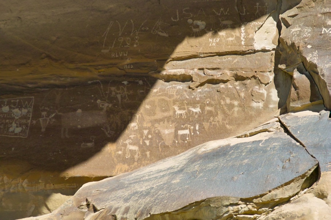
On Tuesday morning, Rick and I got up and started packing the gear to head out. We knew that we needed to visit a car wash to get the Jeep clean, both inside and out. We worked on that for a while, got it in good shape, and then headed back to say goodbye to our hosts. We threw the gear into the Jeep and drove north out of Moab. But we had a plan: there were a couple stops along the way where we could shoot petroglyphs and pictographs. And that's what we did. Our first stop was off of Route 70, at a small town called Thompson Springs. Going through the town, we found the rock art with no problems. There's several groups of art in this area, some date from the Archaic period (7000 BC), some from the Barrier Canyon period (2000 BC), some from the Freemont tribe (600-1200 AD) and some from the Ute tribe (1300 AD). Very easy to get to, and some of it is in good shape.
Petroglyphs are etched drawings, pictographs are painted on (I have a 50% chance of being right). These are some really cool petroglyphs.
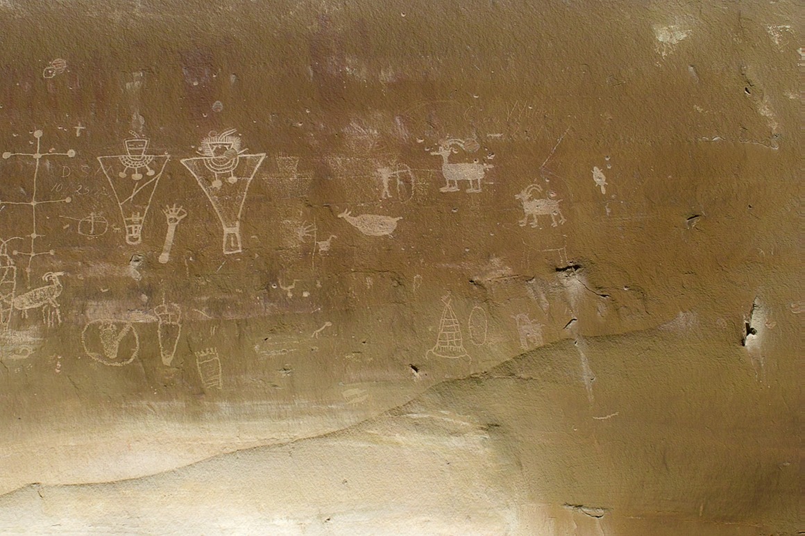
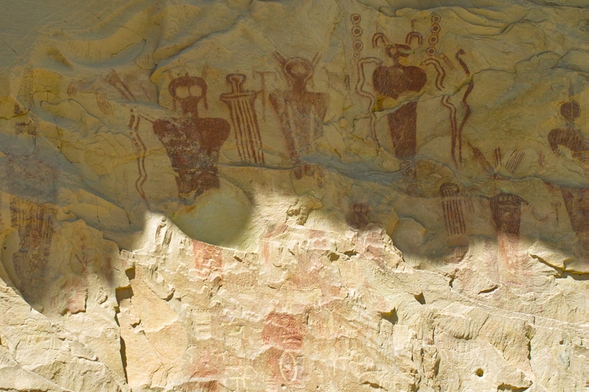
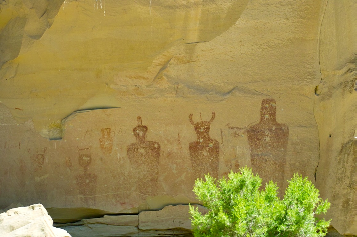
Artwork from the early Archaic period overlaid with artwork from the late Moronic period.
Earliest painting of bad hair day.
These are cool: see the painted figure next to the etched figures.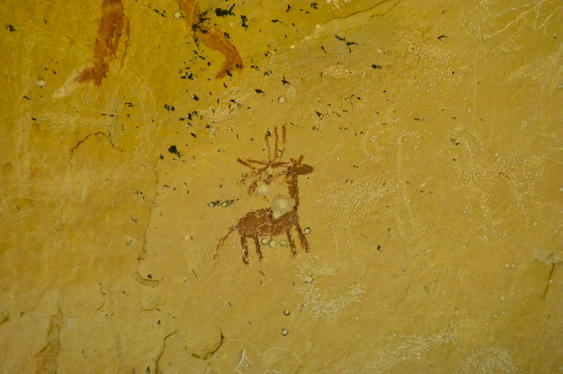
After this, we headed back to Thompson Springs (named after Thomson and Thompson, the detectives in the Tintin series by Hergé). The town had some interesting older abandoned buildings, so we took a few minutes to shoot 'downtown'.
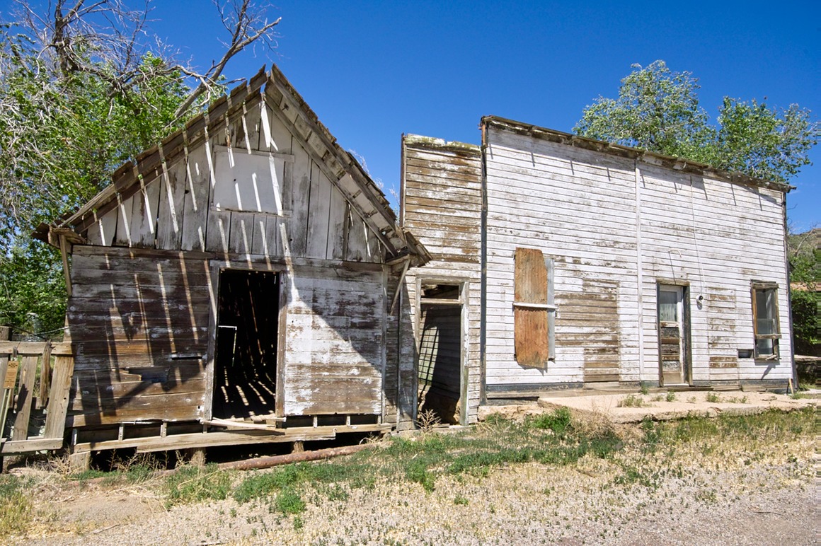
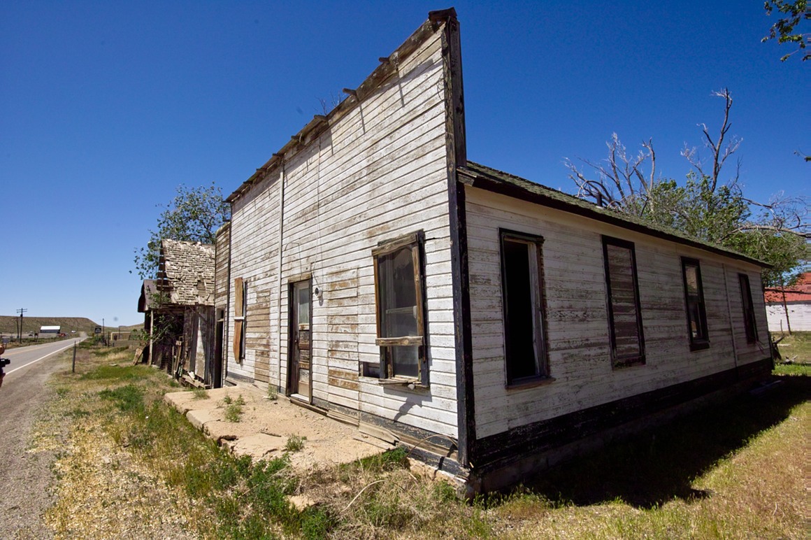
After Chunsum shot a covered bridge in Vermont and treated it like this, I've been waiting for my opportunity!
A more reasonable exposure.
Neither the gift shop nor the cafe were open.
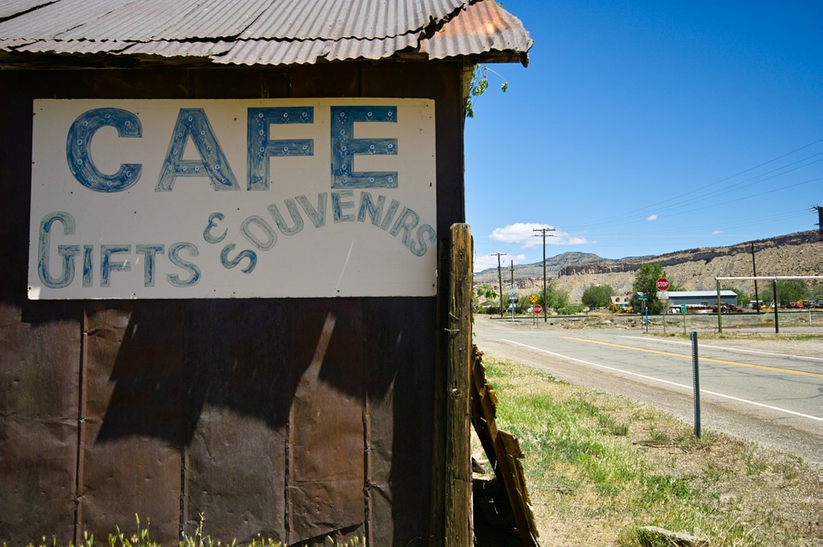
From here, we continued on 70 (actually we went 'back' in the other direction), to find another set of pictographs. We got off on a 'Ranch Exit', and pulled over and tried to figure out where to go. We had a guide book, but it wasn't exactly specific. As we were debating, this 50-some year old guy drives up (in a green Jeep). No shirt, scruffy beard. We asked if he knew where the petroglyphs were. He said sure, let me give you a hand. He got up out of his seat, and then I noticed the laptop mounted next to him on the passengers side. And the camera. And he went to the back and grabbed a couple BLM maps, and started to highlight them. We had run into a ranger! He was great and gave us a lot of good information (in fact, we wouldn't be able to see everything on the list). We would have never found this place without his help! After a decent drive (about 30 minutes), we got to our destination.
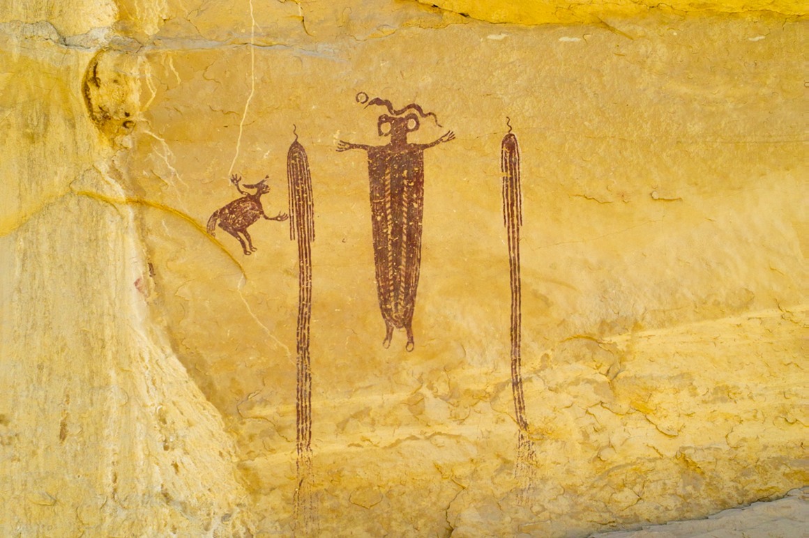
Did the ancient Anasazi know Domo?
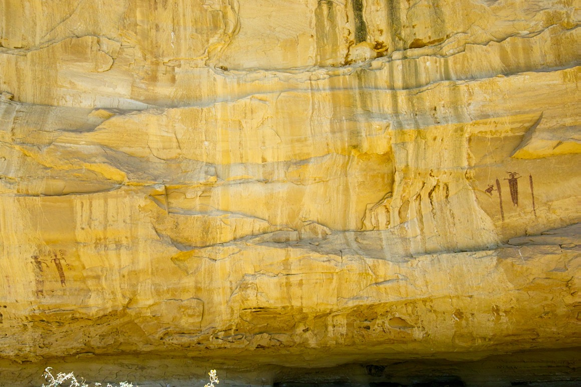
This was the last stop we made on the trip (unless you count Subway). We had a blast driving through some really pretty country on our way to Las Vegas. Rick came up with a great idea for a guide book, but I'm not going to give it away. We eventually rolled into Las Vegas. We found a FedEx to ship the cases of lenses back to Sigma. We then headed out to his hotel, and as we got there, we were treated to a spectacular sunset!
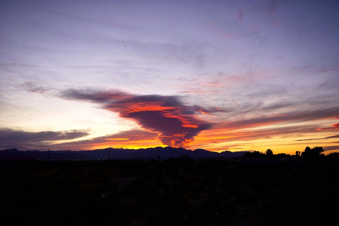
The foreground in this picture is some of the ugliest stuff you've ever seen, so this treatment works very well!
I got showered and changed, and in a few more hours I was on the redeye back to Milwaukee. Unbelievable!
The American Southwest: Post 26–What's pink and shows up in a bunch of photos?
Taken on the morning of our trip to Klondike Bluffs, Domo hangs out in our host's kitchen.
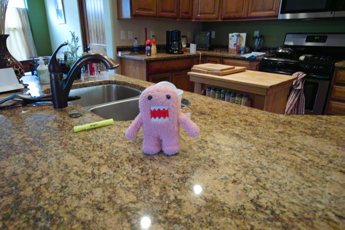
Domo by the front door.
Domo chillin' outside. He seems to be happiest in shrubbery…
Domo on one exceptionally dirty Jeep. He looks exactly like a car sponge here!
Getting ready for the morning trip!
Domo by Tower Arch (he needed help standing).
Domo at Eye of the Whale arch.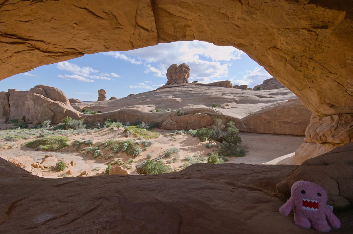
And Domo at the Arches entrance sign. He had an outstanding trip, but really could use a bath!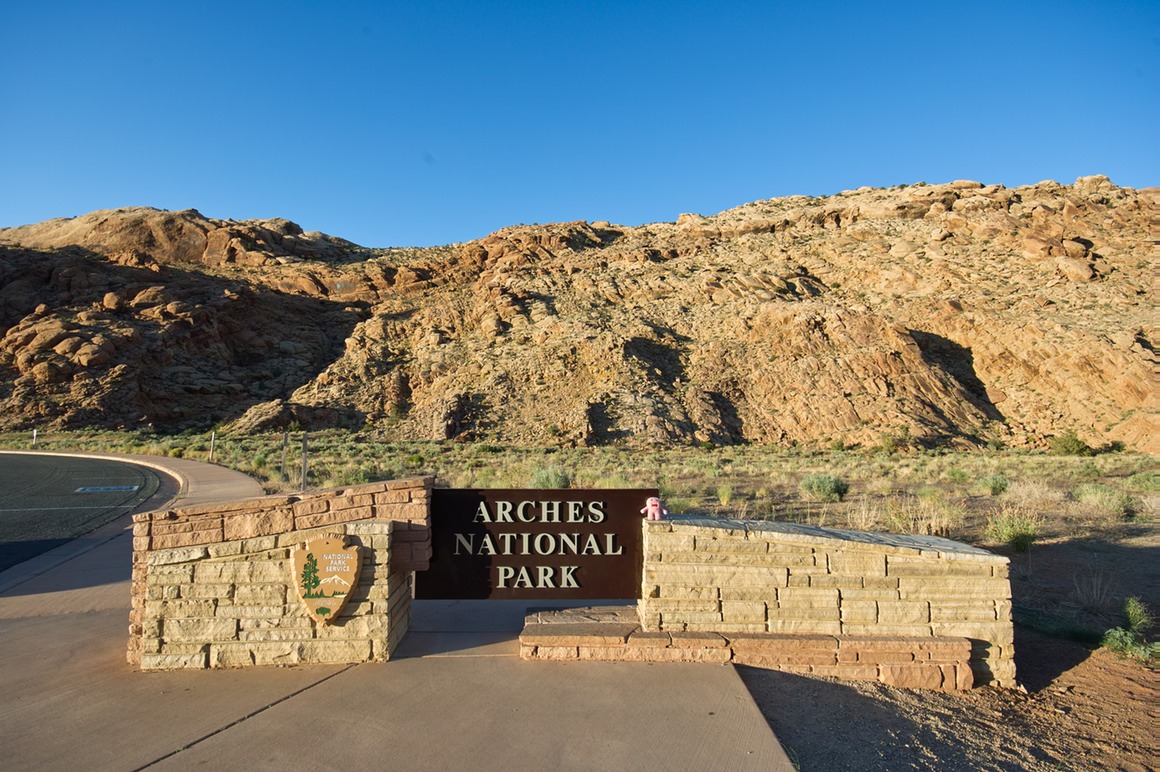
The American Southwest: Post 25–Eye of the Whale Arch
Rick and I started to make our way out of Klondike. The good news was that we weren't going to have to climb the entire rock road to get out of here. There's a 'one-way' sandy road that heads back to the main park. Apparently you can't go to Klondike on it because the sand gets too deep on some of the uphill climbs.
As we were heading out, we saw a large Ford extended bed F250 descend down the way we had come. They were banging and scraping, so we got out and helped direct them through it. They also had a German woman who was supposed to meet her husband at Klondike. He had told her to drop him off at the trail head and then drive the vehicle around to pick him up. That works if you're driving a Jeep. Not so well in a Kia. She realized that she wasn't going to make it and got out and walked. She was hoping to meet up with him on the other side, but we hadn't seen him there. We offered her a ride back, but she said that she'd walk. The park rangers in these areas are experienced in rescuing people, and I can see why.
So, we got on the road back. As we were driving this road we wondered if they had it switched, because every uphill climb was through some decently deep sand. But no problems—by this time Rick was pretty experienced in keeping the Jeep moving through this stuff.
I'm back to the SD14 now...
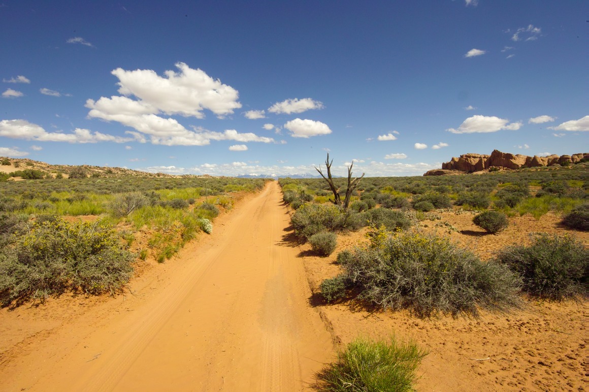
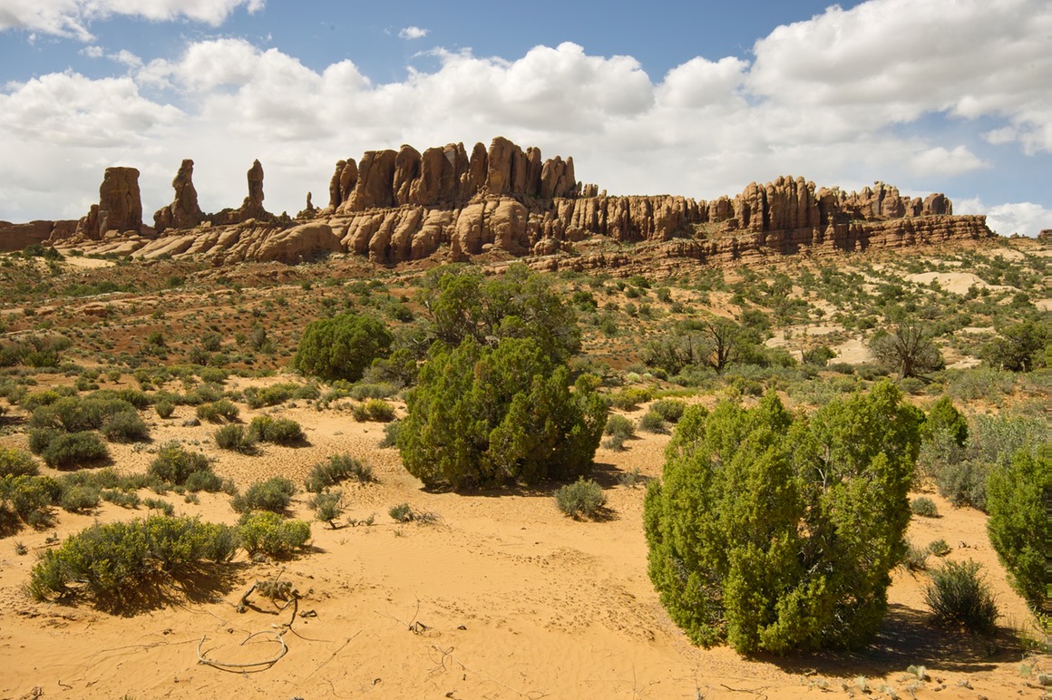
We weren't quite done with the Jeep.
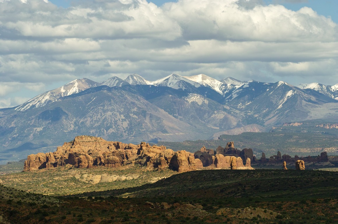
This bunch of rocks (Turret Arch, Balanced Rock, Windows, etc) really is photogenic with the La Sals in the background.
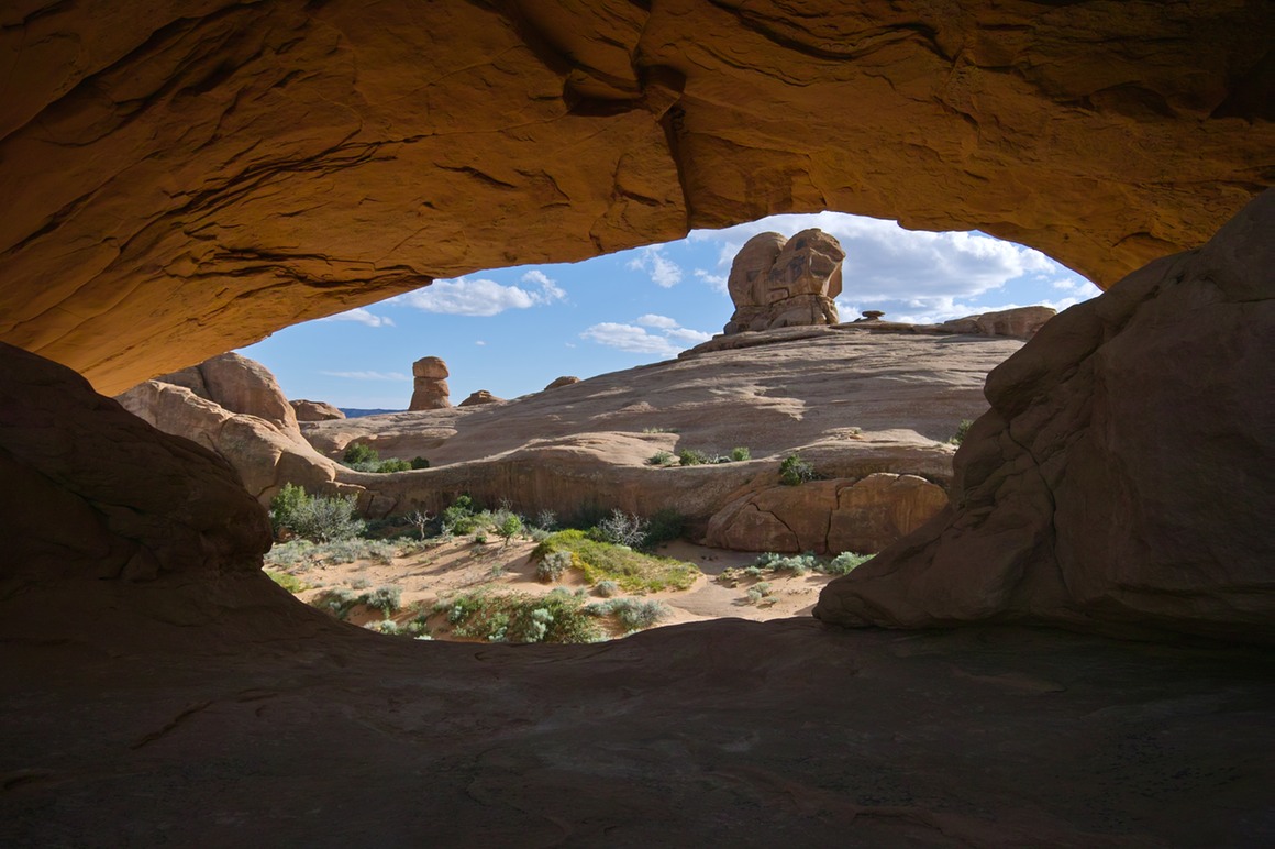
We didn't have Eye of the Whale arch on our itinerary, but I saw it on the map and suggested it to Rick. He had never been, so we took the chance, and were very pleased with what we saw. This area looks good for both sunrise and sunset!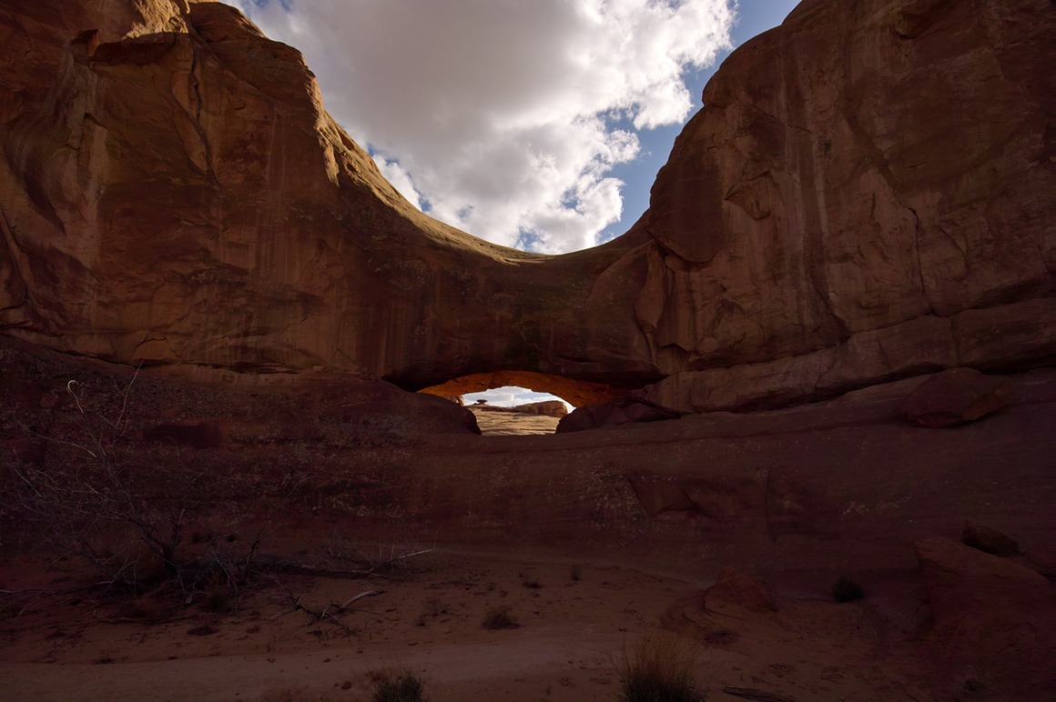
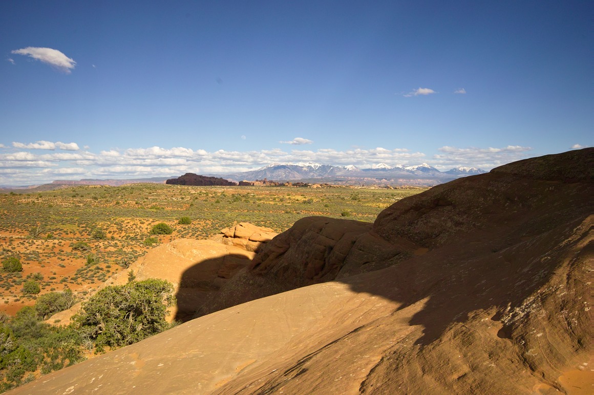
Rick shooting a Verizon commercial (can you hear me now?)
Rock shadow art.
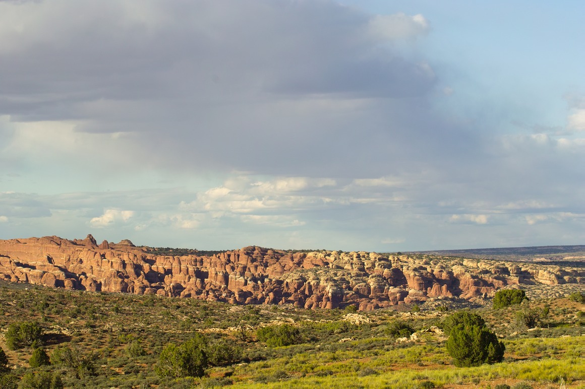
Hey, the moon's out!
Balanced Rock from a distance.
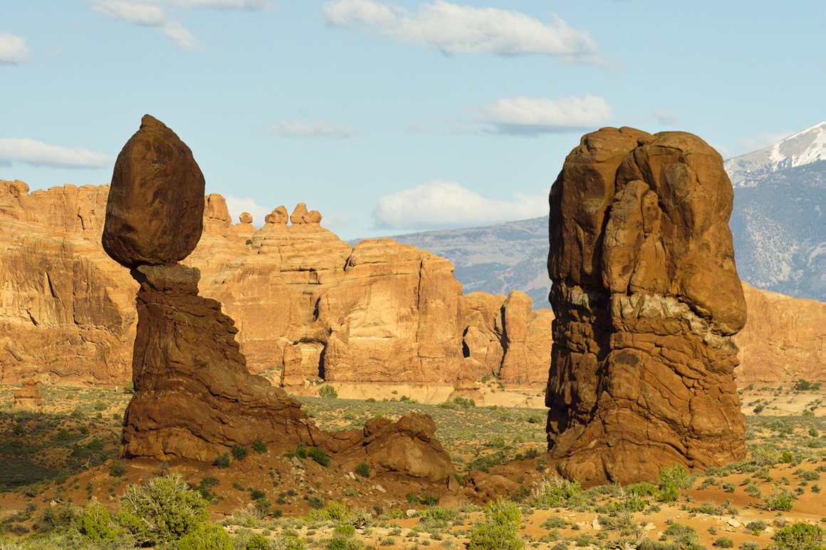
Shot nearly roadside.
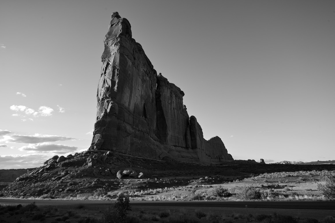
And sad to say, this was my last shot inside Arches!
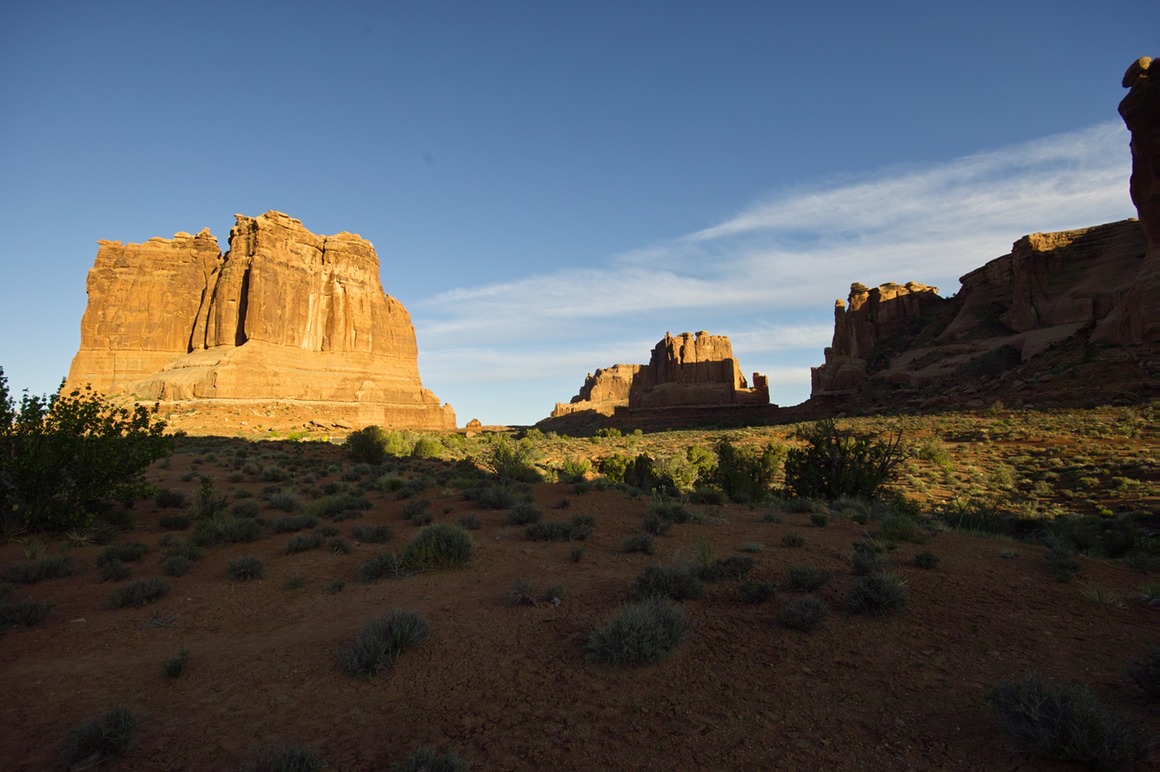
What a fantastic day of photography (again). Weather, sun, and clouds all cooperated. We found new areas to explore, and took advantage of them. This was a great way to end our time in Arches. The Herdina park area (where Eye of the Whale arch is located) would definitely be worth exploring for an all day trip!
Two more episodes to go, and one of them features our favorite pink friend!
The American Southwest: Post 24–Tower Arch
It was mid-afternoon when we got back to the Jeep and I went to descend to Tower Arch. Rick had shot it before, so he stayed on the ridge and was working the delightful sunlight and clouds. In fact, if you want to see Rick's photos of this entire trip, visit his Pbase site: http://www.pbase.com/rickdecker/american_west_spring_2010.
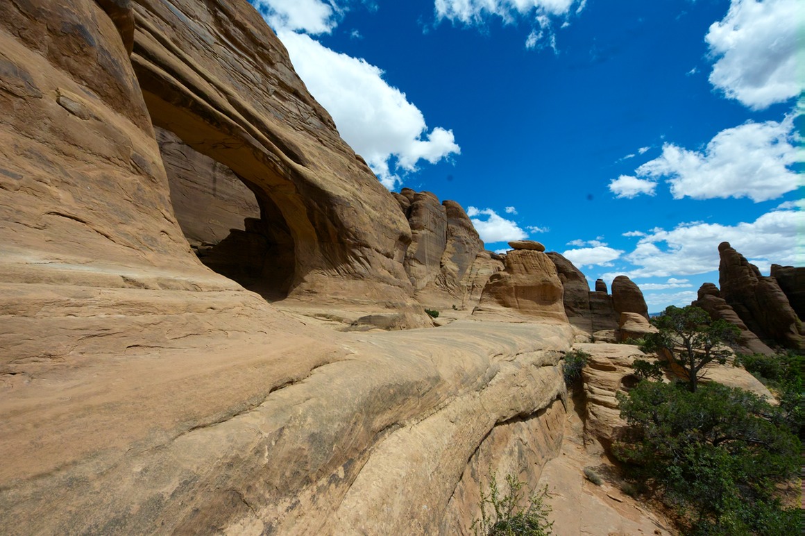
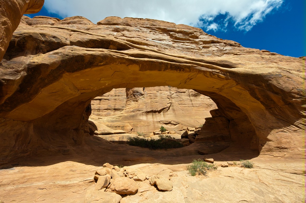
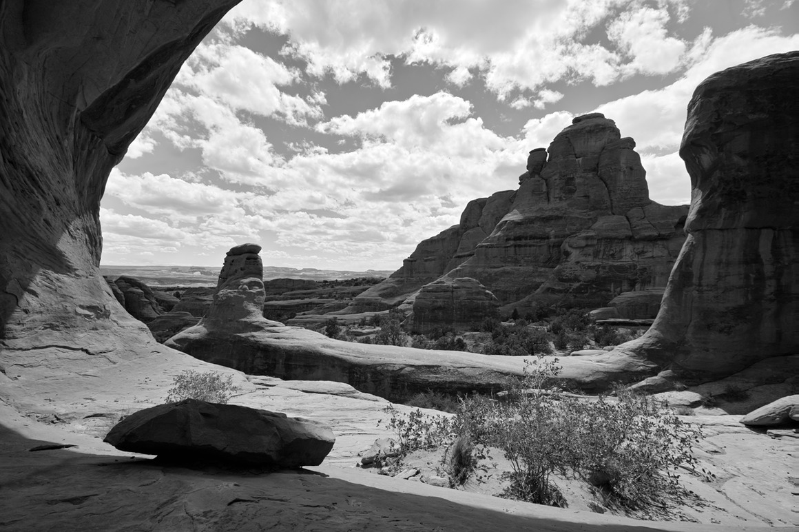
I love this photo: lying on my back pondering the arch, but…
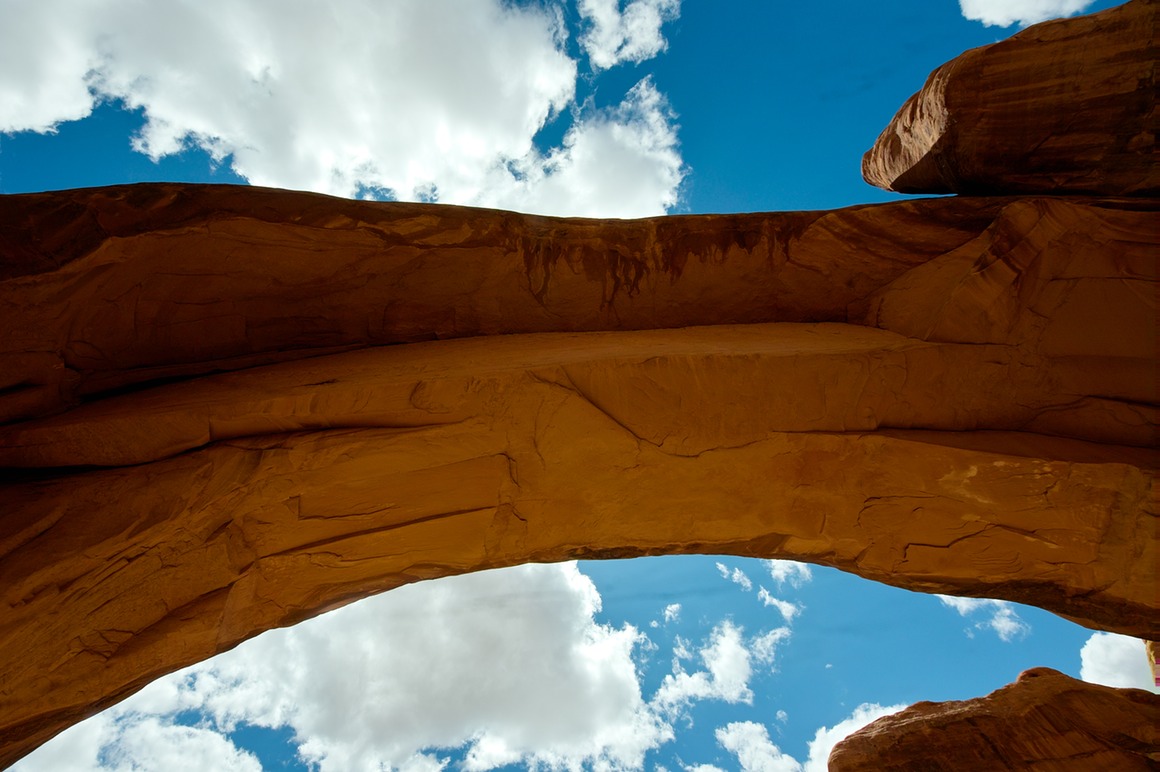
…this isn't just a nice B/W. The big old rock on the right side? That fell from the arch. And there are a bunch on the right side too. I'm sure the odds are small that you're going to get crushed, but one of these arches did fall down a couple years ago...
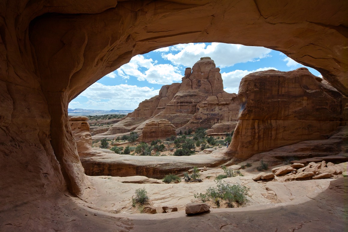
So, the climb out was challenging, because there are a lot of 'switch backs' on the rock formations, and they're not really well marked. So I took a couple dead ends and didn't feel like trying to scramble/climb over some of these formations. But I did get out eventually, and Rick and I proceeded to leave Klondike.
The American Southwest: Post 23–Klondike and Tower Arch
So, we had conquered the 4WD road, and were in another wonderful playground of sandstone, sand, arches, hoodoos, clouds and sun. It was going to be a spectacular day for photography! The drive must have been challenging, because within a half hour we were visited by another Jeep, who came in, and then turned around. They didn't even get out to look around! Whatever…
You can see the tower of Tower Arch on the left side of the photograph (about 1/3 in from the side), and the arch is below it to the right. I wouldn't explore that area until later in the afternoon.
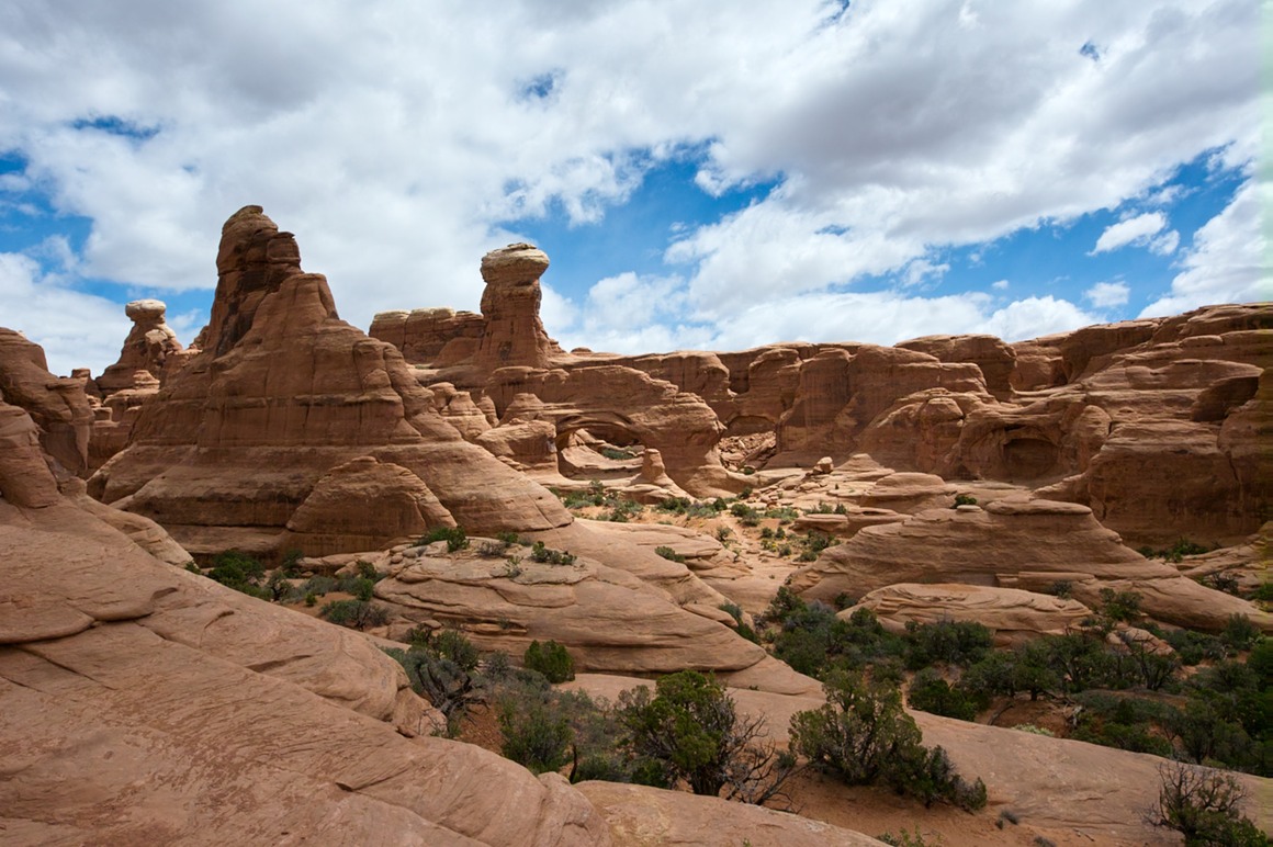
These three formations captured our attention for the first part of the shoot. They'd go in and out of the sun as the clouds raced around.
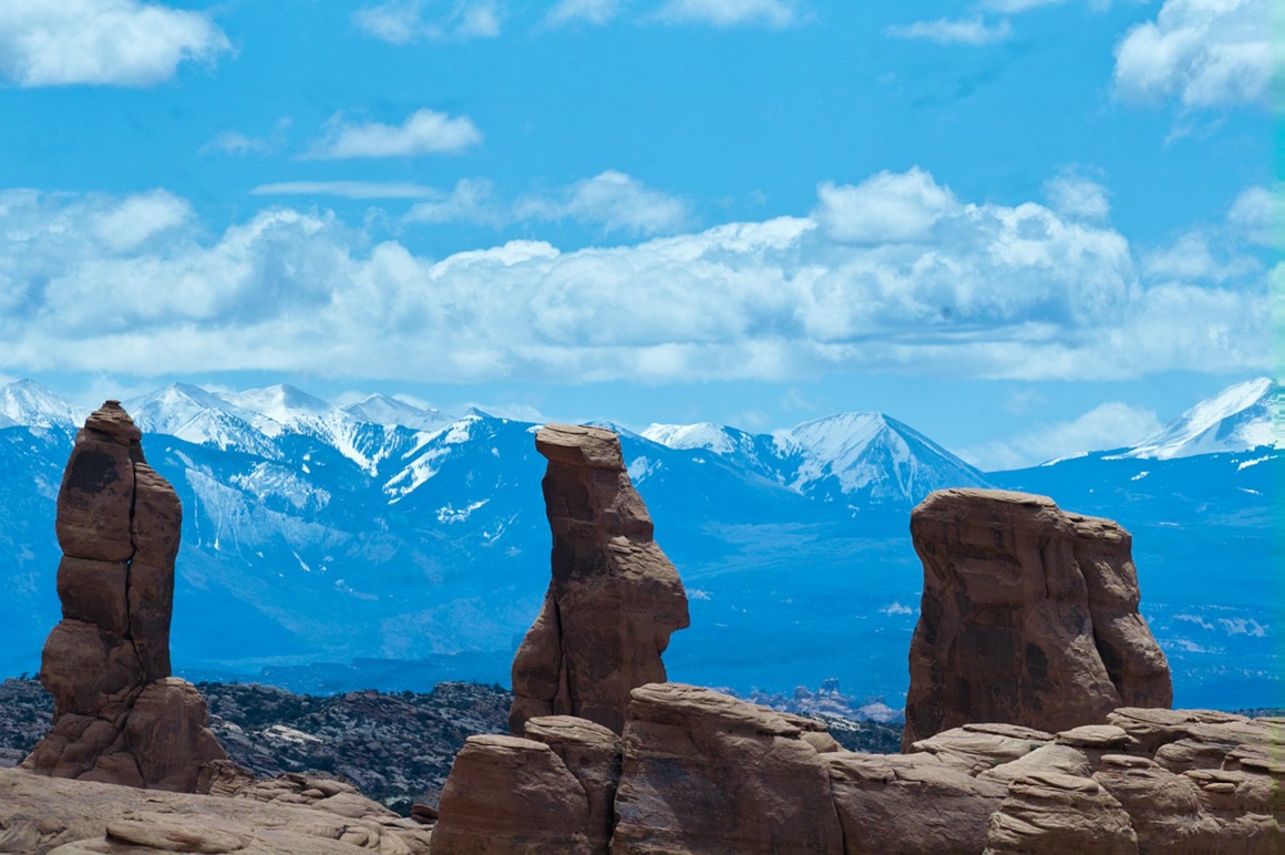
As we started to hike in and down and around the formation, we came across beautiful formations, lots of wonderful sand, and plenty of flora.
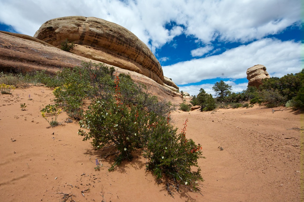
Check out the small pink dot at the top: flare from the 8-16 mm. This is much, much more bearable (even attractive) than the ugly yellow green splotch flare with the 10-20 mm.
This was my best shot of the trip, but then Domo jumped in front and ruined. Well, I hear that CS5 has a Domo cloning tool…
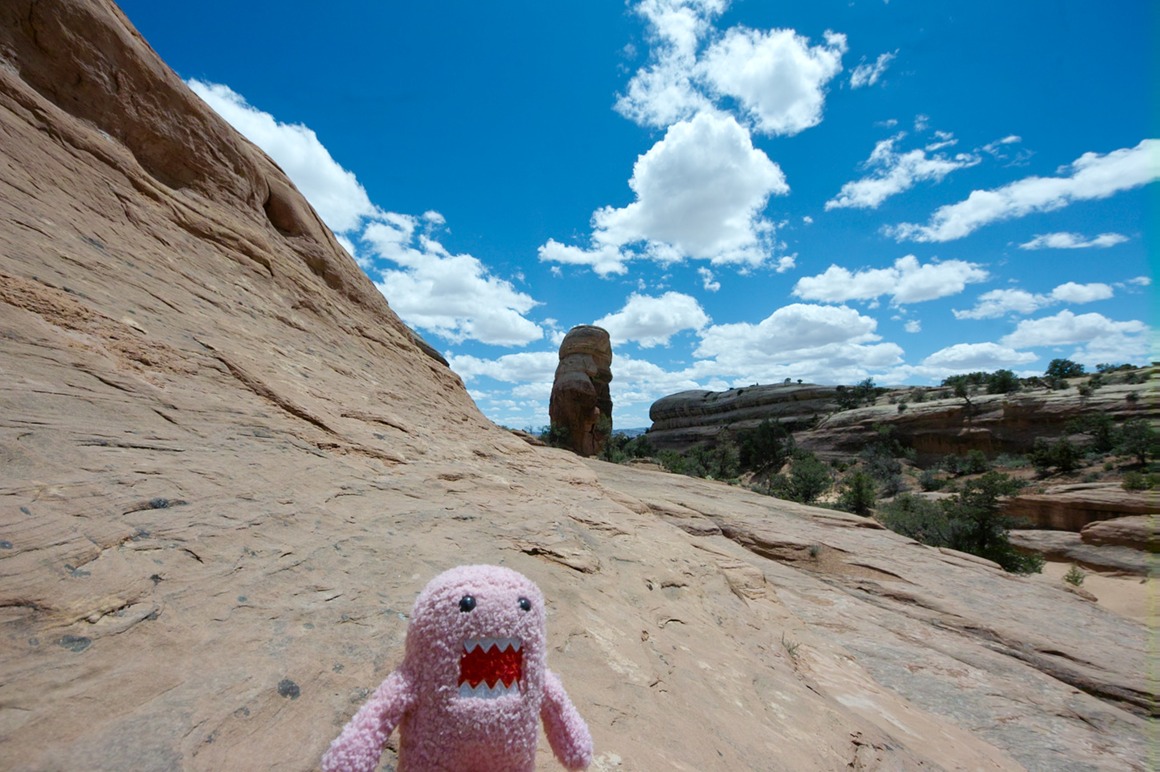
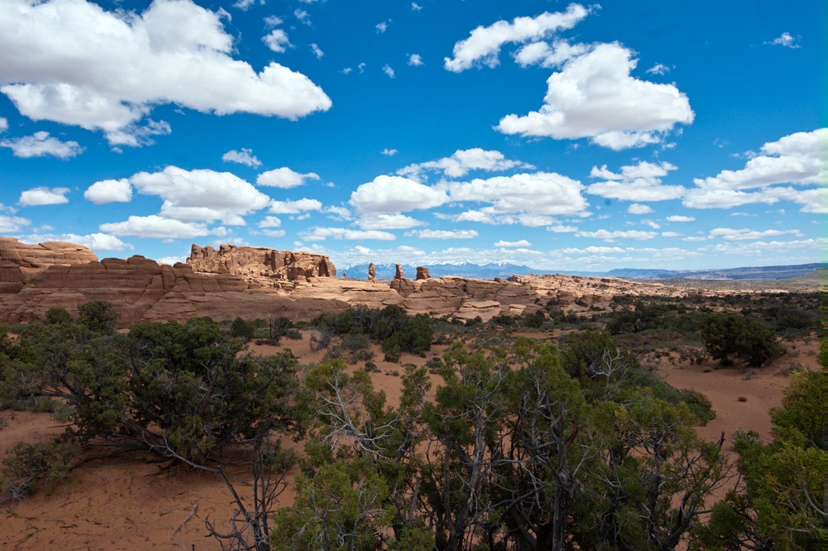
At this point, I'd like to relate a little story of me getting freaked out. Rick and I separated for a while here. I was shooting on a ridge while Rick was making his way over to the east to explore another area. I thought that he was returning up to me within a few minutes. He apparently yelled to me that he was going to continue to the side, and I must have signaled (accidently), but I never heard him. After taking about a half hour shooting, I started to look for him. Nothing. Yelled for him. Nothing. Put on the long lens and scanned for him. Nothing. Because I was sure that he was coming back, I hung for a while. Nothing. Then I thought he might have worked back around me towards the Jeep. So I hiked back in that direction, checking in the valley below the formations to make sure he hadn't fallen (we were up on some moderately high stuff). Nothing. Back at the car, no Rick. At this time I was getting worried, and grabbed my phone, some extra water (we hadn't taken much), and started walking the low valley path to look for him. Yelling (and getting no response). After about a hour and a half or so of missing him (total), I finally spotted him coming back. No big deal to him. But I was relieved that I wasn't going to be dragging a body out from here. If I were to do this trip again, I might suggest a couple radios for just this situation—cell phones aren't very useful in the places we were at.
The American Southwest: Post 22–Road to Klondike
Monday: Our last day at Arches! As we got up this morning, Rick and I didn't realize that (we thought we had an extra day, but you tend to forget travel plans when you're having so much fun). We had a full day planned. The hope was that the wind would settle down (along with the dust), and we were going to try to get to Klondike, which is at the far end of Arches. There are a couple approaches to the formations, one is a drive on a graded gravel road to a trail head, and from there it's a two mile hike. The other way is to take a 4WD road directly to the location. We had a Jeep, so of course we'd be doing the latter.
The morning was beautiful. Crisp and breezy (I think I started in shorts and my winter coat), but none of that 40 mph sandstorm crap. And of course, we had beautiful clouds and wonderful scenery on the way. I hope that I haven't saturated you readers with these landscapes—there's a real danger of 'here's another shot of the gorgeous desert', but the scenery was so incredibly spectacular during our trip, it's hard not to grab the camera and start making photographs. And that's why we were there…
Technical comments: All these photos were taken with the SD15, after we cleaned it with a buttered basting brush. Seriously, we did something horrible to the sensor, and there were streaks all over the place. I'm not cleaning these up. Also you'll note a slight green stripe on the far right side—this was from the hand-assembled camera. I didn't actually notice it until we got home and started to review the photos. The sensor did clean up nicely at home with Eclipse, so it was passed on to the next user in much better shape. Also, all these shots were taken within 50' of the road, so no hiking here!
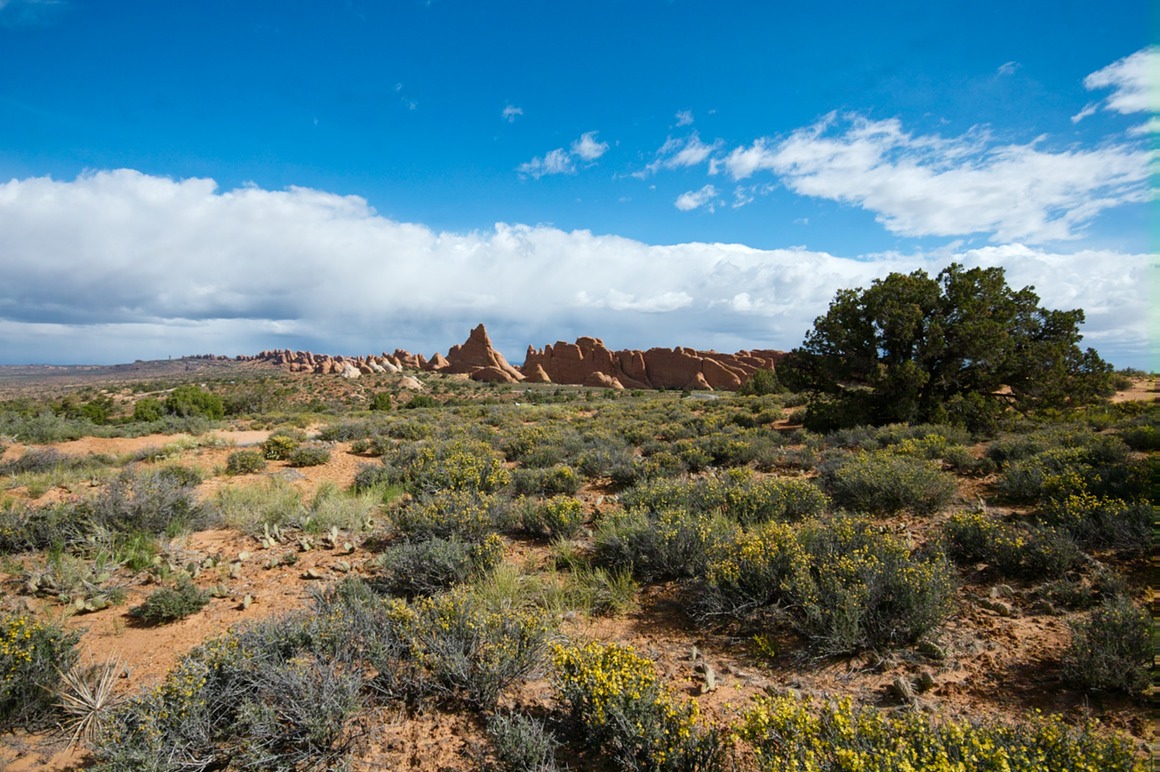
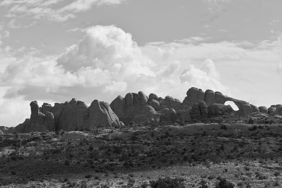
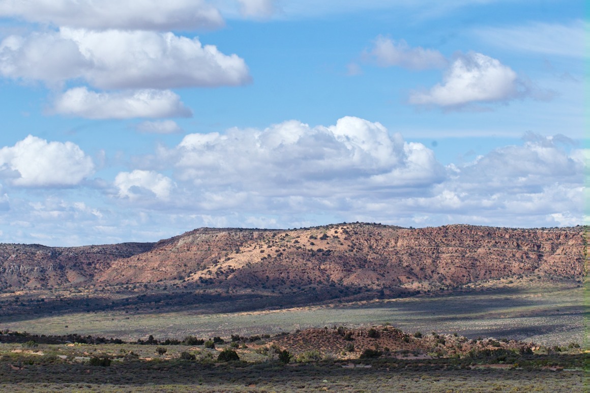
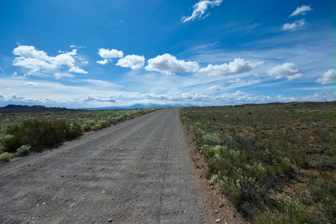
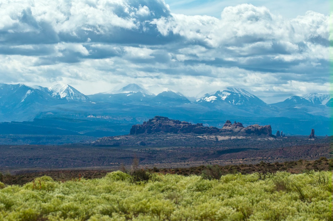
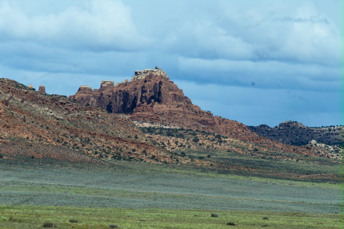
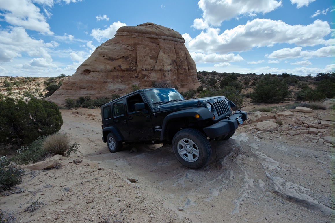
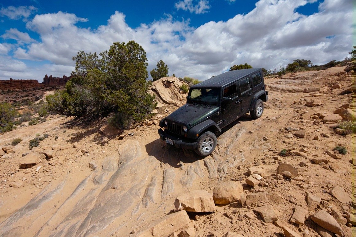
We drove the gravel road to the backside of Klondike, where the road splits to go to the trailhead or to the 4WD section. We had been on plenty of 4WD sections during our trip, so we were just expecting sand. No problem. Until we got to the 'road' and realized that it was going to be scrambling up and down some pretty steep and rugged rock stuff. I don't know how freaked Rick was, but I certainly had never seen a Jeep go over anything like this before. Having said this—it's a national park and they wouldn't let you go on this unless it was safe. I'm sure the Jeep wasn't stressed, but I was. This trip was amazing! If I lived out in this area, I would absolutely have on of these vehicles!
Time to go up…
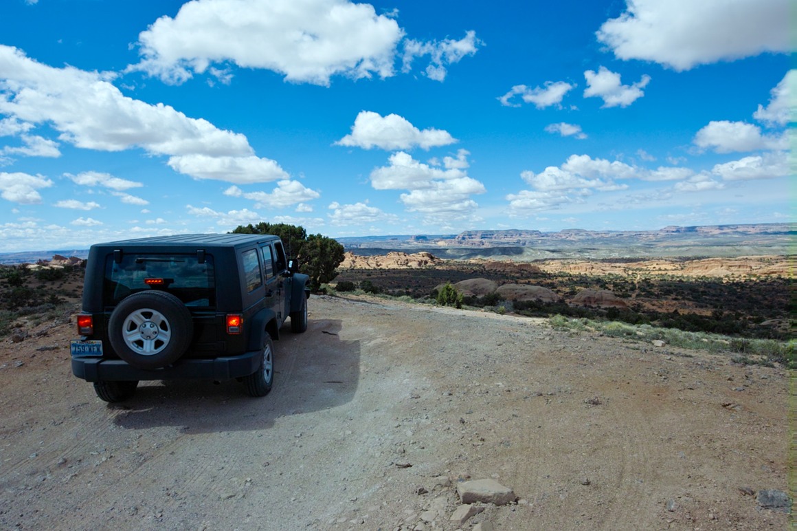
…but what goes up, must come down!
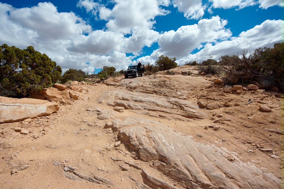
This is a great photo to show you all what we did to that poor sensor.
And with this, we had arrived in Klondike!
The American Southwest: Post 21—Plan B
The light wind and delightful clouds from the morning have become a strong wind (40 mph). A brown wind. A very gritty, sandy, hard-to-see-in wind. Rick and I grabbed the gear and headed out in a southerly direction out of Moab. For about five miles. When it became clear that we were not going to be able to photograph anything in this direction thanks to the sandstorm, we turned around to head back. We tried to think of a plan B and Rick suggested that we head upstream along the Colorado river. Once in the canyon, the grit and brownness died down quite a bit, although the wind was still plenty stiff. At this point I figured Rick was just taking me on a scenic drive to kill time, and if we were lucky maybe we'd come across something to photograph. Well, as we made our way up river, we started to see some rafters going down river. Brightly colored rafts, lots of people in orange vests—it sounded like a good diversion and maybe a nice test for the SD15. It was certainly a test for me, to see if I could handhold my 70-200 still enough in this really brisk wind (still 30-40 mph in the canyon). Eventually I pulled out Chunsum's tripod and took some steadied shots.
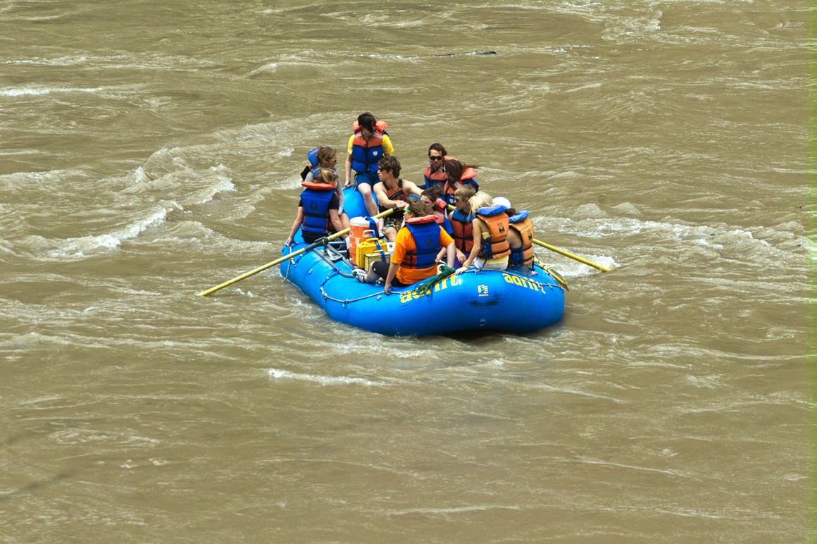
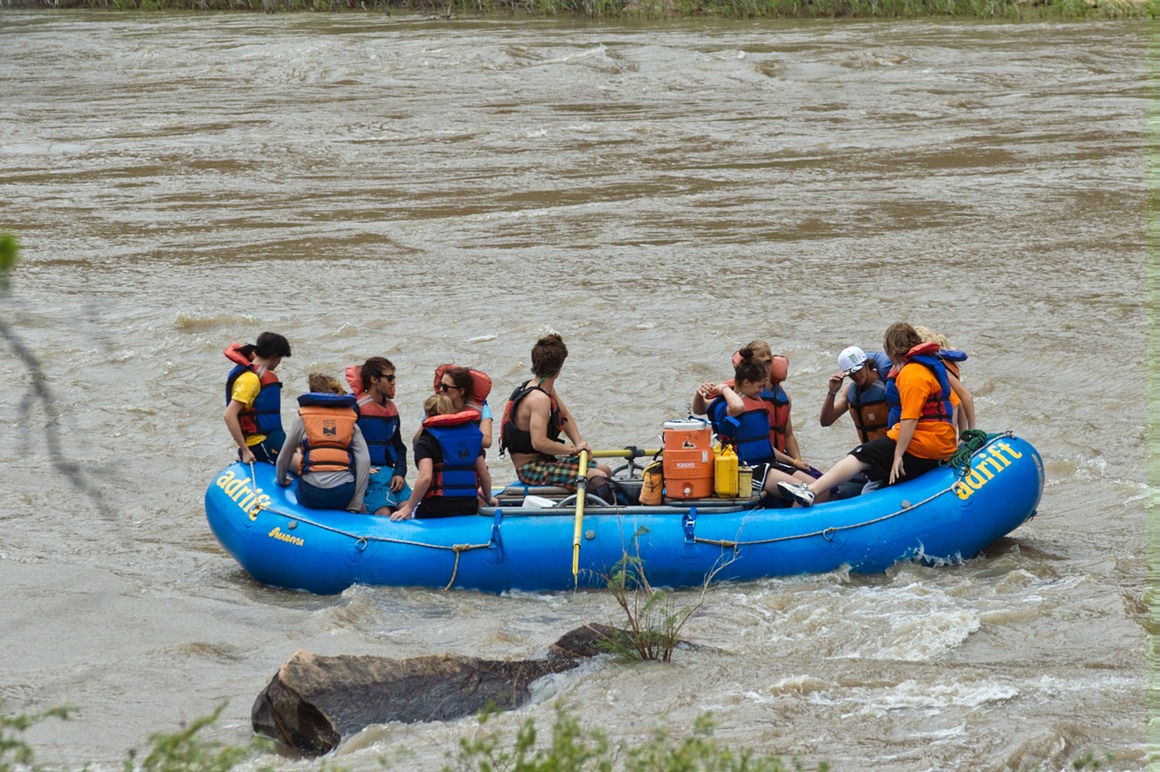
Now this is a nice canyon wall!
Older folks…
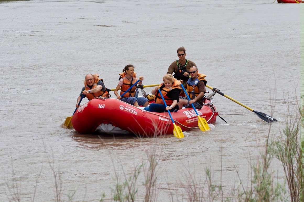
and younger ones too. But when you stop paddling to wave, you end up getting passed.
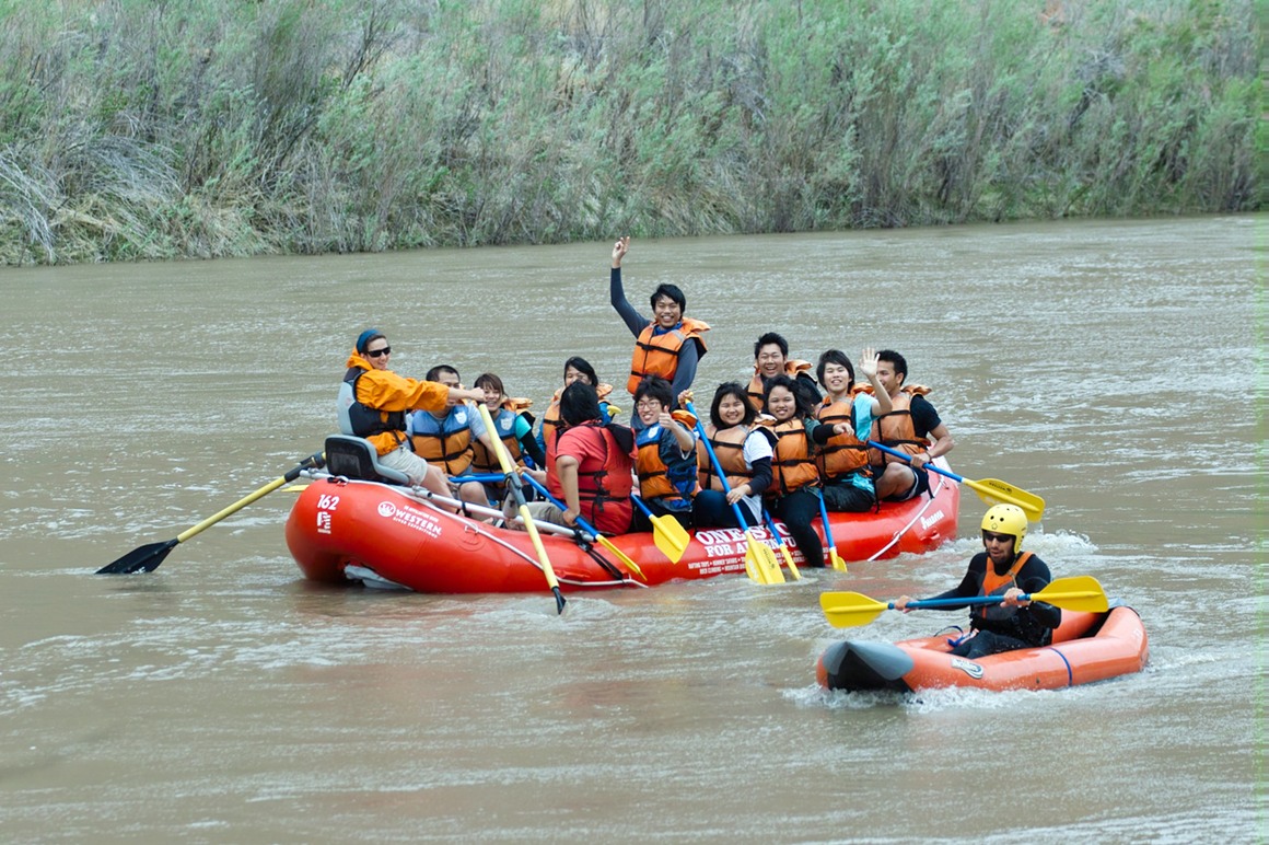
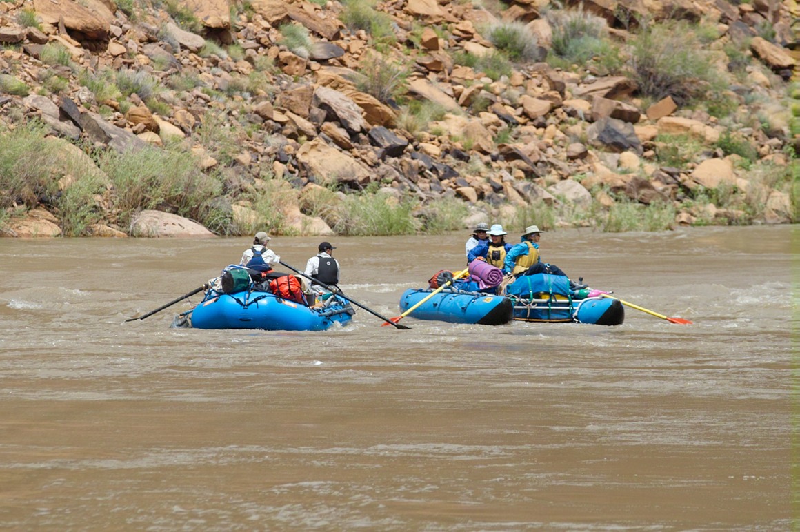
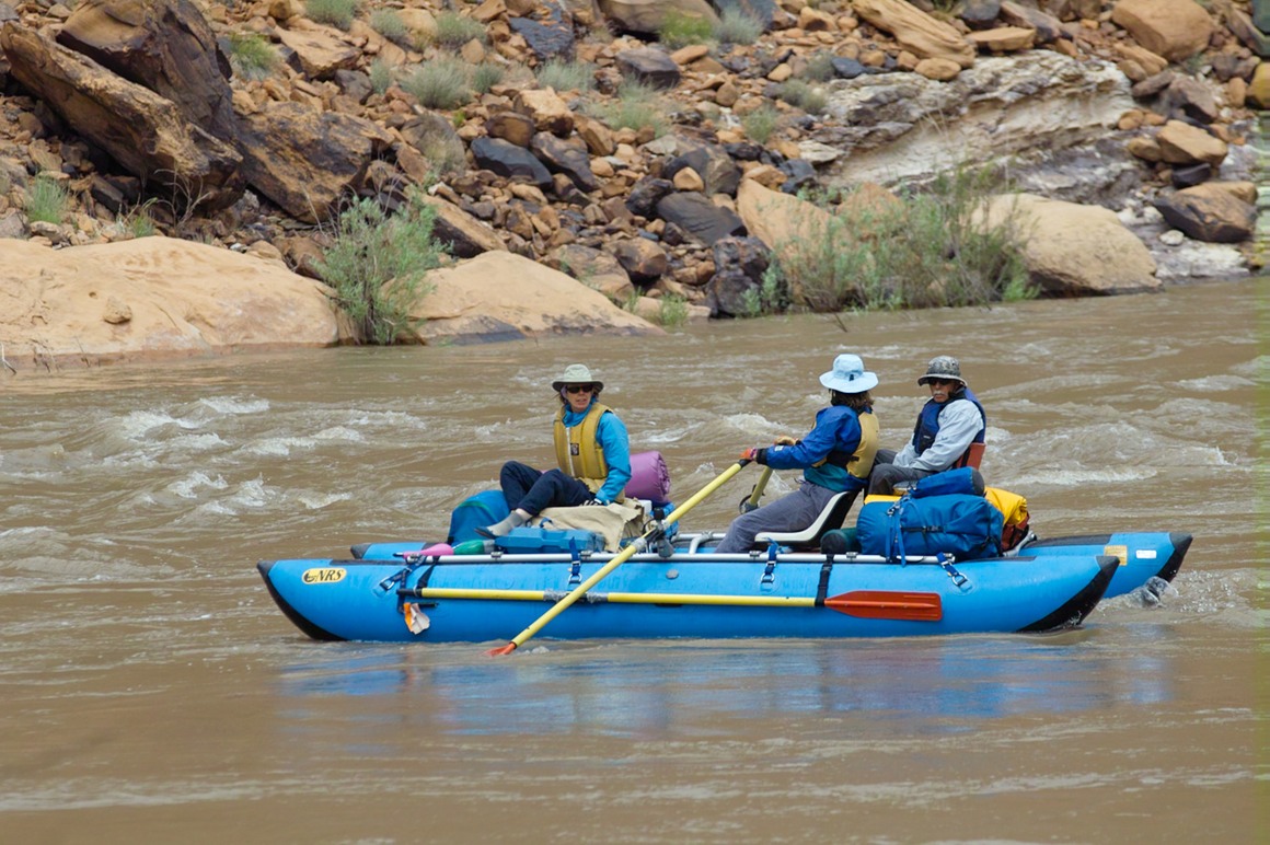
So we happily spent a couple hours doing this, instead of braving what certainly would have been a horrendous sandstorm in Arches. We got back at a reasonable time, and rested up for our last full day at Arches—a trip to Klondike, at the end of the park.
The American Southwest: Post 20—Arches in the Morning
So, we wake up to a beautiful Sunday morning. Light wind. No light (because it's before sunrise). Grab the gear and get moving for the dreaded morning shoot. We found some pretty good coffee at the local Maverick gas station, as we headed to Arches. Arches National Park is only a couple minutes outside of Moab, so its very fortunate that we didn't have to travel to another town for lodging.
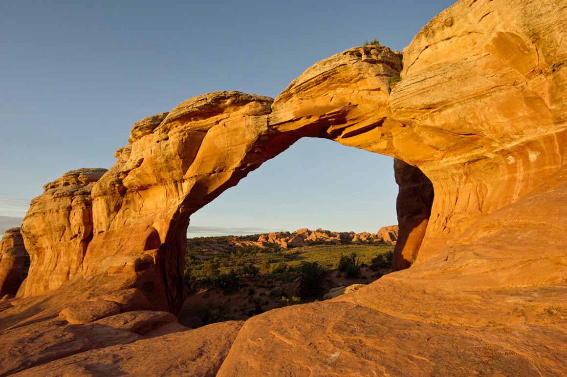
First up is Broken Arch. Set your tripod up, and then check the framing with your pink friend Domo. This is my only self-portrait of the trip. This was a great arch to shoot, we had no other photographers in the area, and this is an east facing arch.
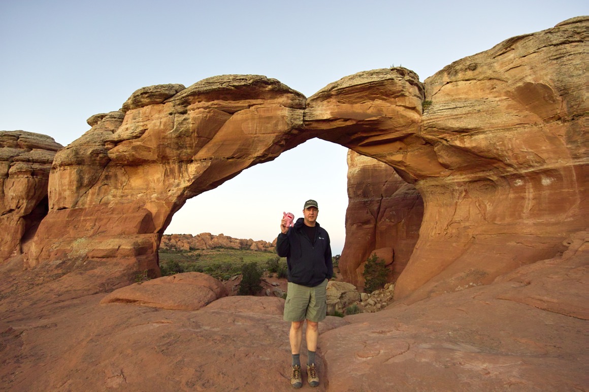
Once the sun lights it, it starts to glow. Again, this only happens for a few brief minutes.
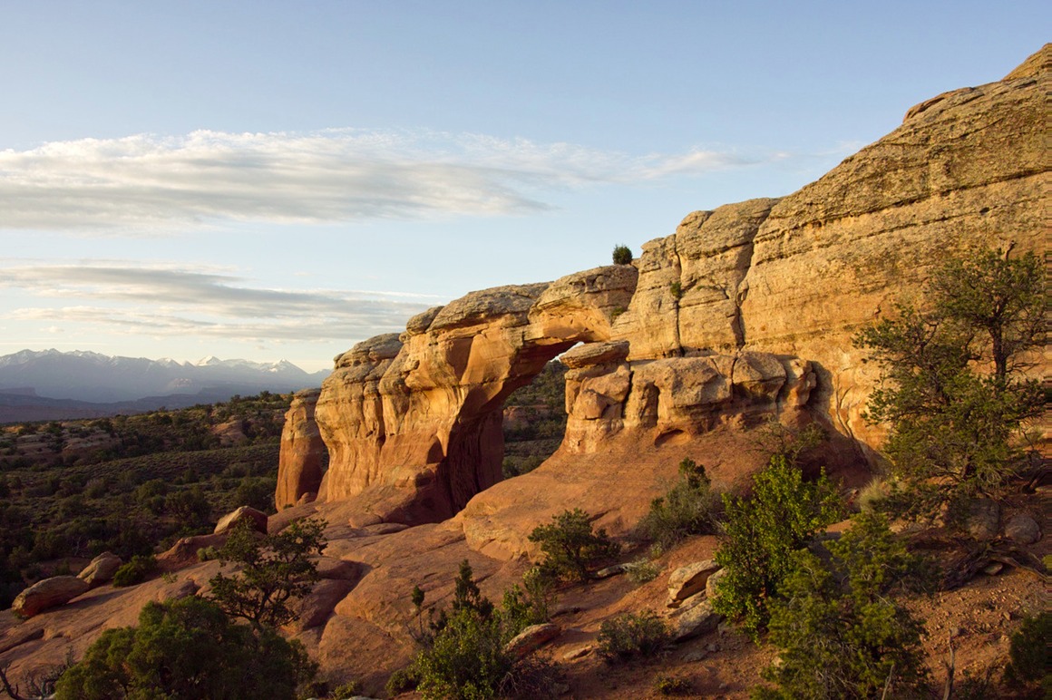
Pulling back, you can see the Arch in the midst of the rock formation here. And notice how the colors are shifting already (see, that way you don't blame my lousy processing!)
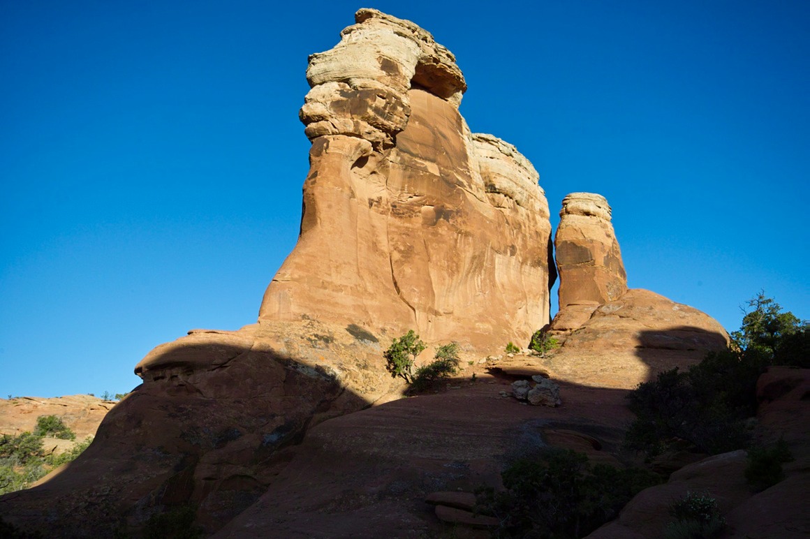
Hey, where'd all that red sandstone go?? ;-)
Sand Dune arch is in that set of formations in the background.
And a rock formation we bagged on our way out. This was a nice short hike, about a 5 minute walk in.
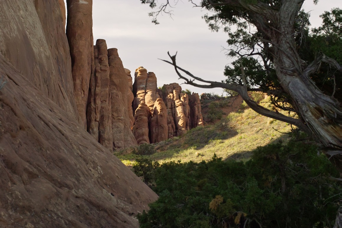
Some fins.
We noticed some clouds moving in, and wondered if it would affect the rest of the morning shoot. Rick decided to take us down to photograph North Window, but on the drive we couldn't help ourselves from shooting this formation (Turret Arch, the Windows) from a distance. La Sals are the snowcapped mountains in the background.
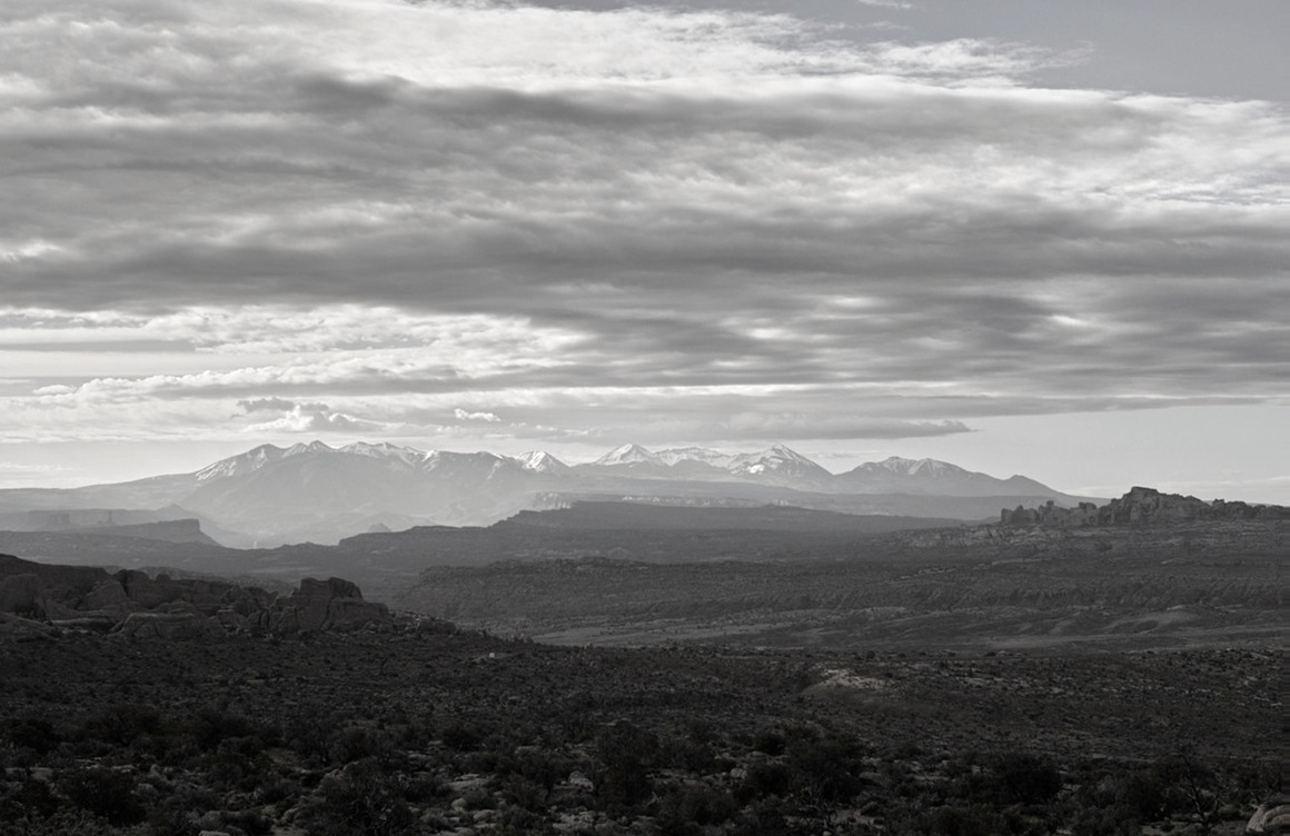
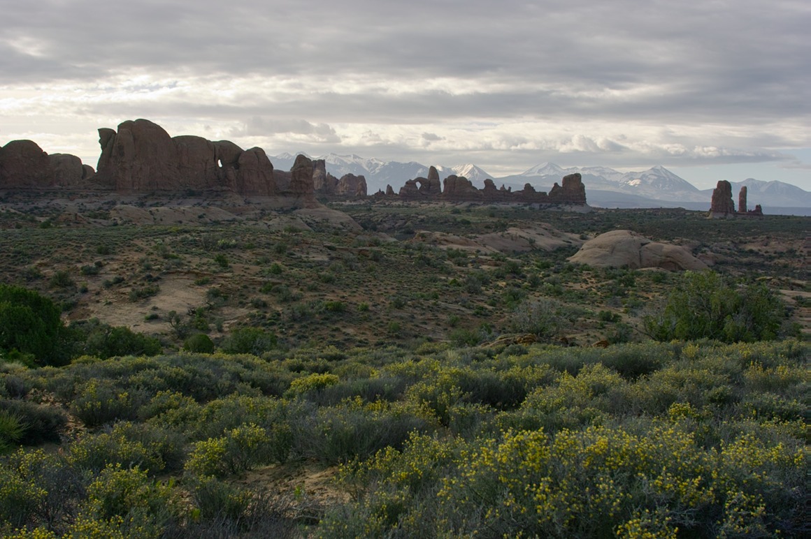
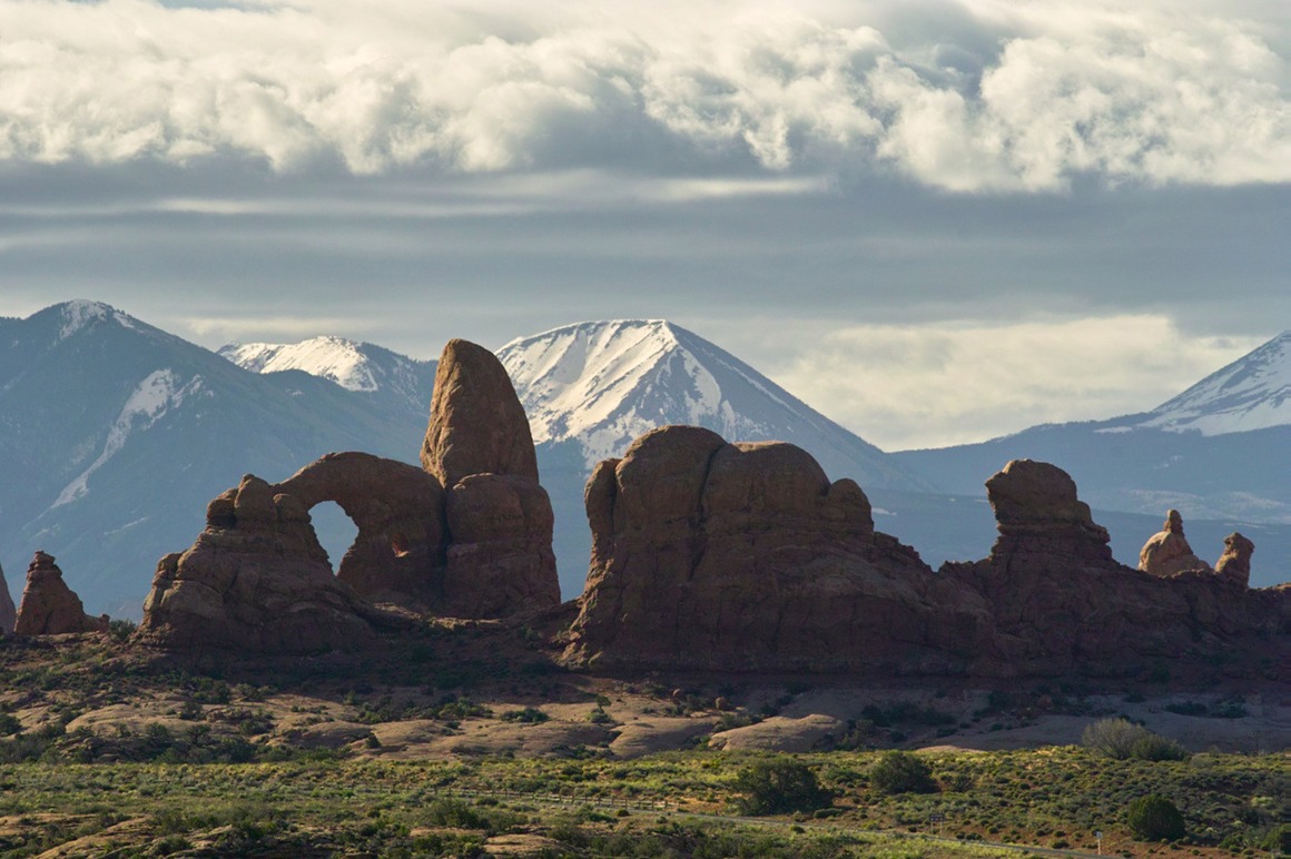
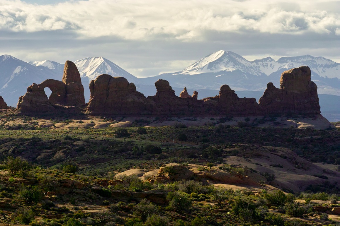
When we got to North Window, we had two nice surprises! Beautiful clouds, and no photographers.
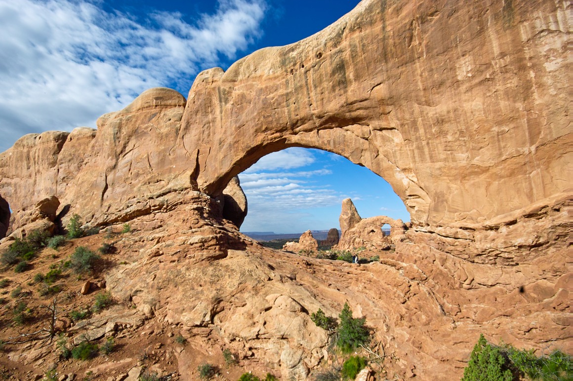
These next two photographs were shot within a minute of each other. The broken clouds were moving across the sky at a reasonable pace, and they were creating bands of sunlight across the landscape that would selectively light things. Can it get much better? You can take a darkened arch with bright background, or a bright arch with darkened background... Turret Arch is through the window, BTW.
Fantastic scenery enhanced by great clouds and wonderful lighting! And as we were heading out of the park, we had another 'shaft of light' moment, and pulled over at the side of the road to capture it. I'll say upfront that I missed my best opportunity (the light disappeared), but this came up again. Not nearly as spectacular as the one that I'll keep in my mind's eye, but a nice rendition of the Tower of Babylon.
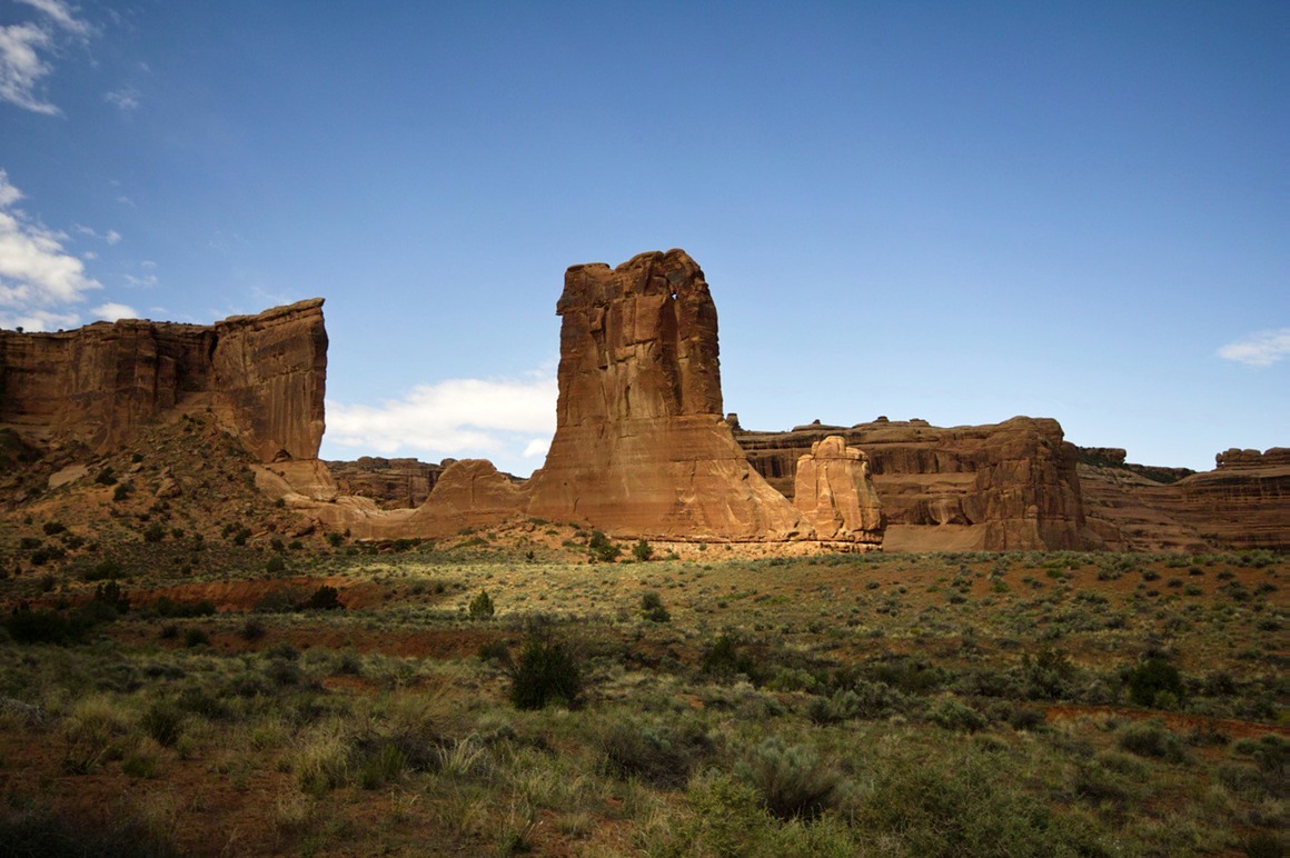
After such a spectacular morning, what could we expect for the afternoon and evening??? SAND! It was coming, and it wasn't going to be good. But we came up with a photogenic alternative...
The American Southwest: Post 19—No Room at Moab!
So as we were driving to Moab, Rick decided that he should call ahead and check the lodging situation with his Moab realtor (he owns some property in the area). We didn't have reservations because we weren't sure where we were going to be for this weekend (the Canyonlands were the original plan). Anyway, she told Rick that Moab was crazy, and that there were no rooms to be had. She mentioned a realty company that dealt with rentals, and suggested that we try that. Well, we couldn't find the place, so we wandered into an open reality company. There was one woman working—Rick described our situation—photographers who would be staying for a few days looking for a rental. She said the company only had a few, and they were all occupied. Then she called a friend who had a studio that she sometimes rented. No luck. She called around to find something for us. No luck. Nearest lodging was about an hour away (Arches, where we would be shooting, was only a few minutes outside of the town). So this woman took pity on us, mentioned that her college age kids were gone, and she'd be happy to rent a couple rooms to us for an unspeakably low price. We bargained the price up a bit, and checked to see if dragging us home would put her husband and she on the divorce track. But everything seemed to be good.
We hung out in Moab for an hour or so before showing up at her place. I'm not naming names, but the hospitality was awesome! Her husband had a ton of local knowledge on where to shoot, and although we couldn't con him into taking a day off, we'll be visiting again with some advance notice. I don't know how Rick does it, but he seemed to be able to get us into some great situations. This was perfect, and we had a great time with our hosts. I know that by the end they felt funny taking money—but I look at the situation from the other side—the lodging and fellowship was priceless! God bless them both.
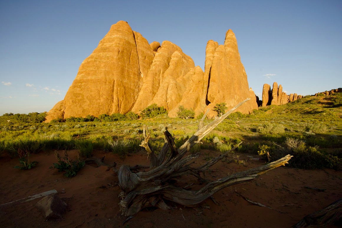
I suppose that I should put a few photos up from our first afternoon shoot at Arches. The first two are of Sand Dune arch, a really nice little arch that looks like kids like to climb on it (probably only 15-20' high). There were a whole group of kids and adults who showed up with footballs and frisbees to play here, but they were patient and let us finish up our shoot.
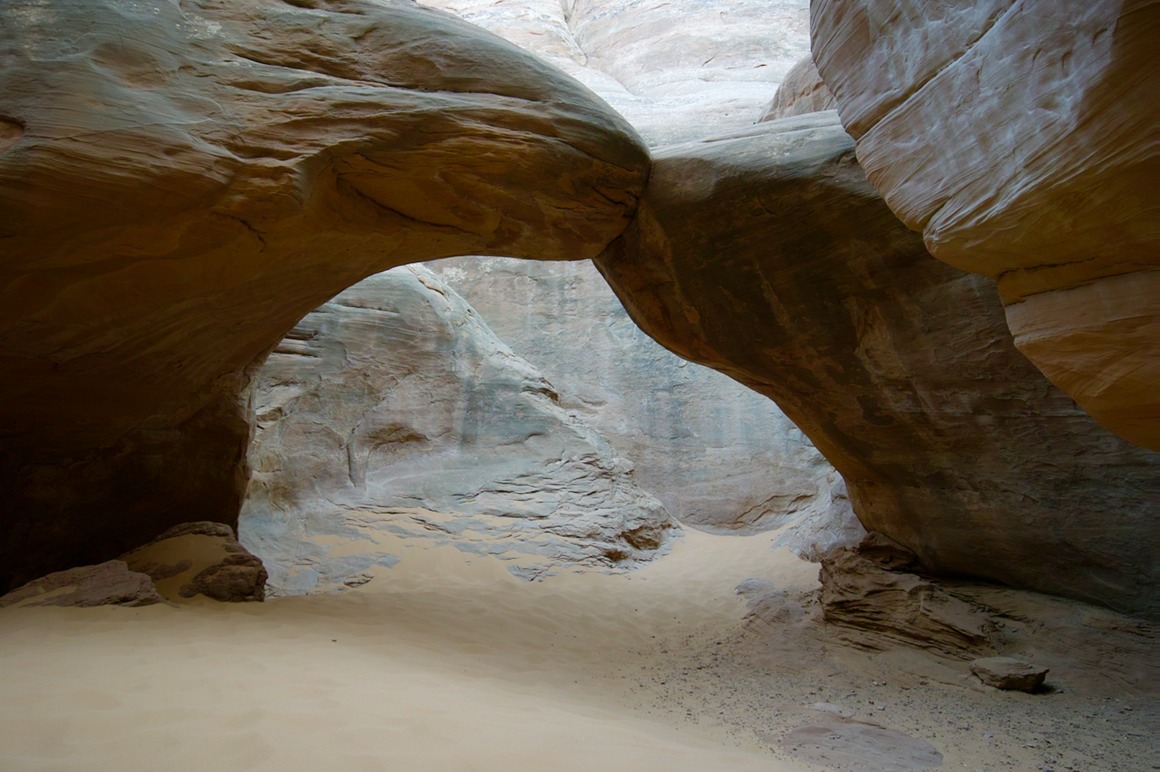
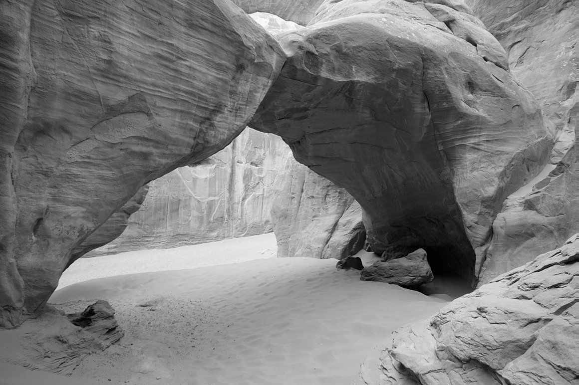
These sandstone fins are a staple of Arches. The Sand Dune arch was in amongst them.
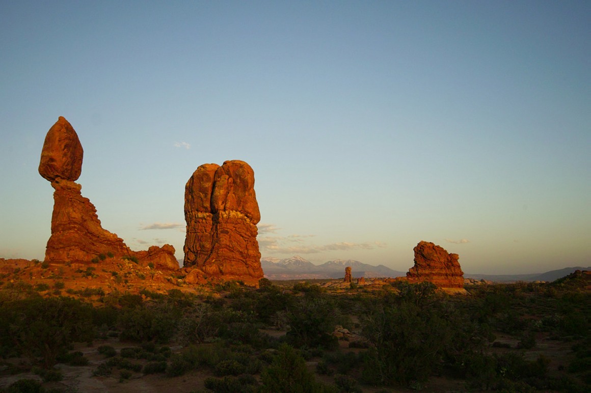
And around the corner is Balanced Rock. We shot this as the sun was setting.
The American Southwest: Post 18—Sandstorms & Monument Valley!
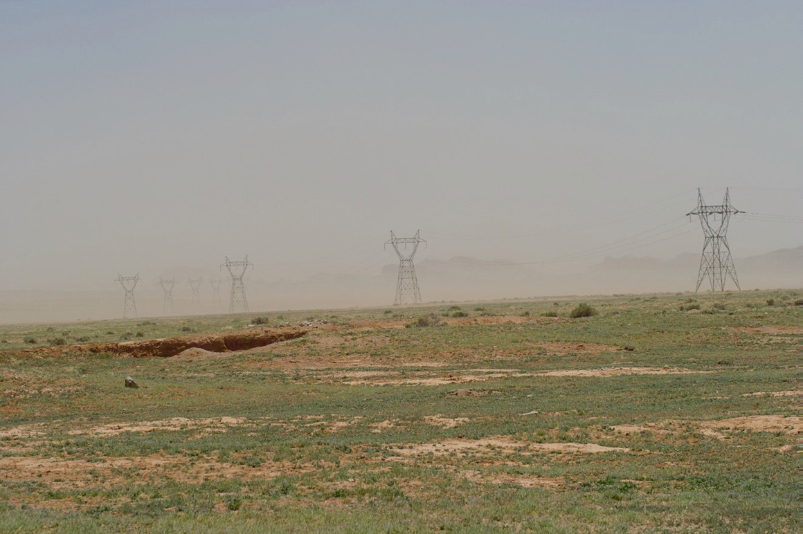
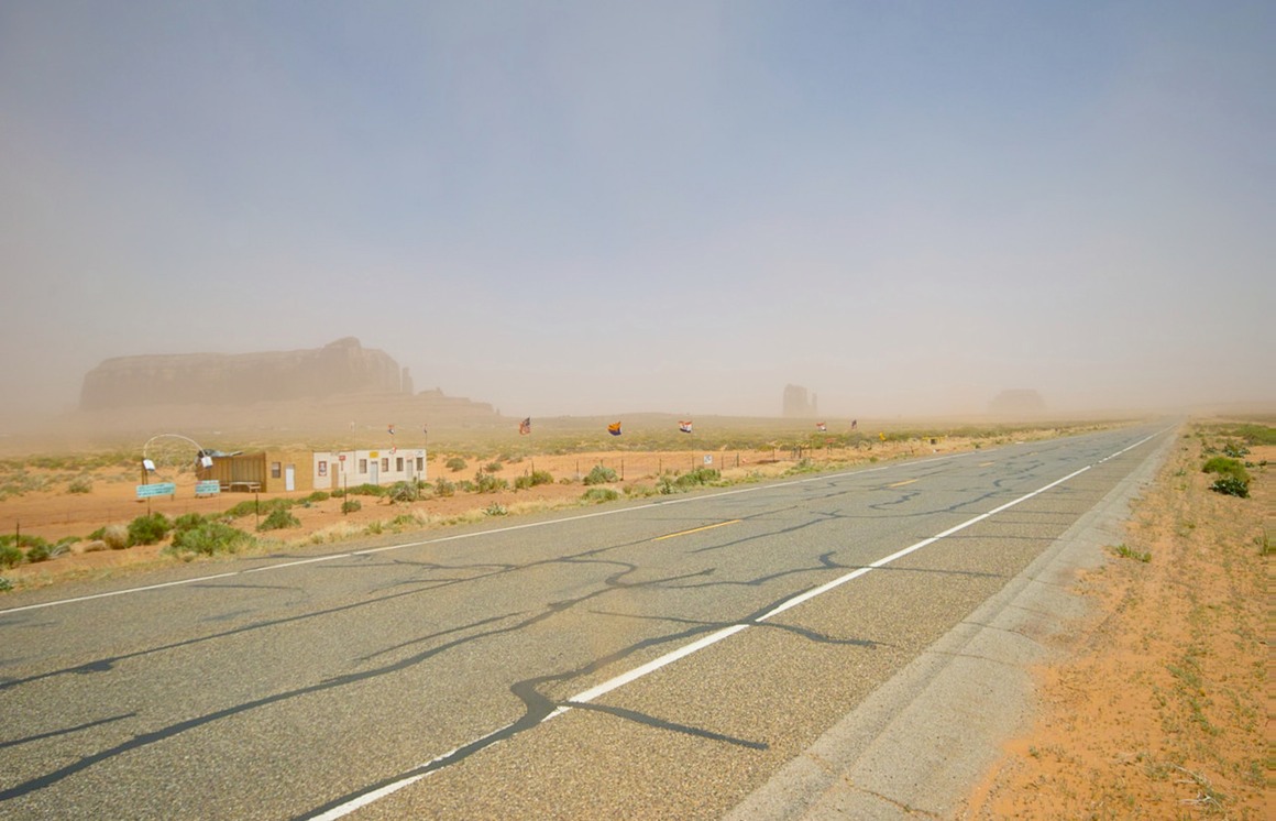
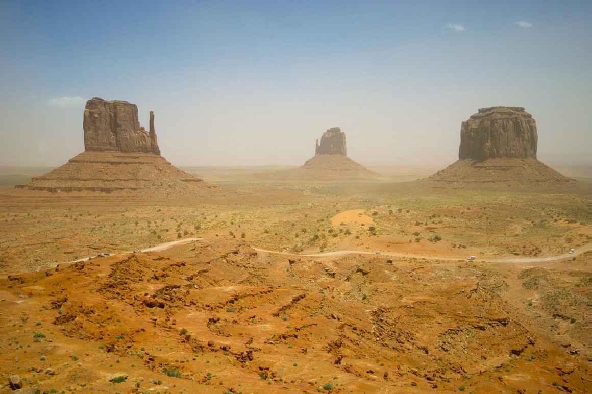
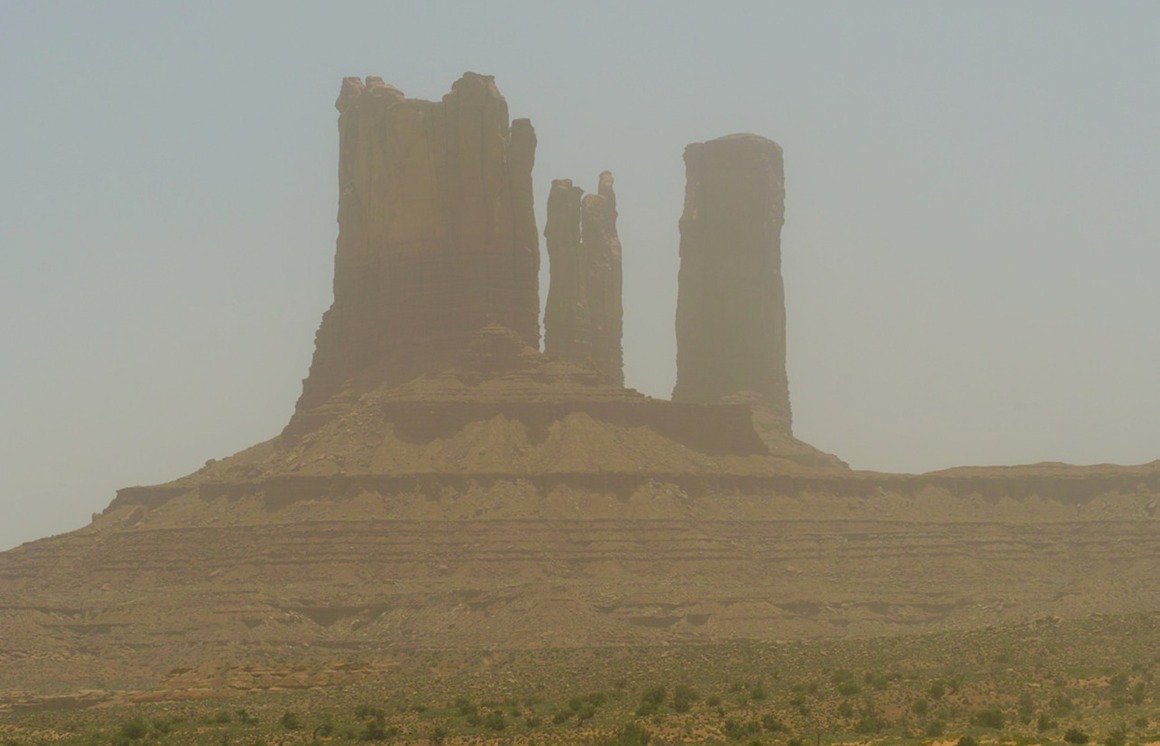
Rick and I got our gear together Saturday morning and left Debbie's Hide-A-Way, heading off to Moab. On the way, we thought we'd take some time and shoot Monument Valley. But the wind was blowing (it had been blowing more or less for this whole trip). But now it was really, really blowing. And as we got closer to Monument Valley, we were treated to a genuine sandstorm. This was my first experience with a sandstorm, and it was kind of cool. For about five minutes. By the end of the trip I really learned that these things aren't so much fun. Sand in your eyes. Sand up your nose. Sand in your gear. Thanks for that dust protector, Sigma!
All lines lead to Las Vegas…
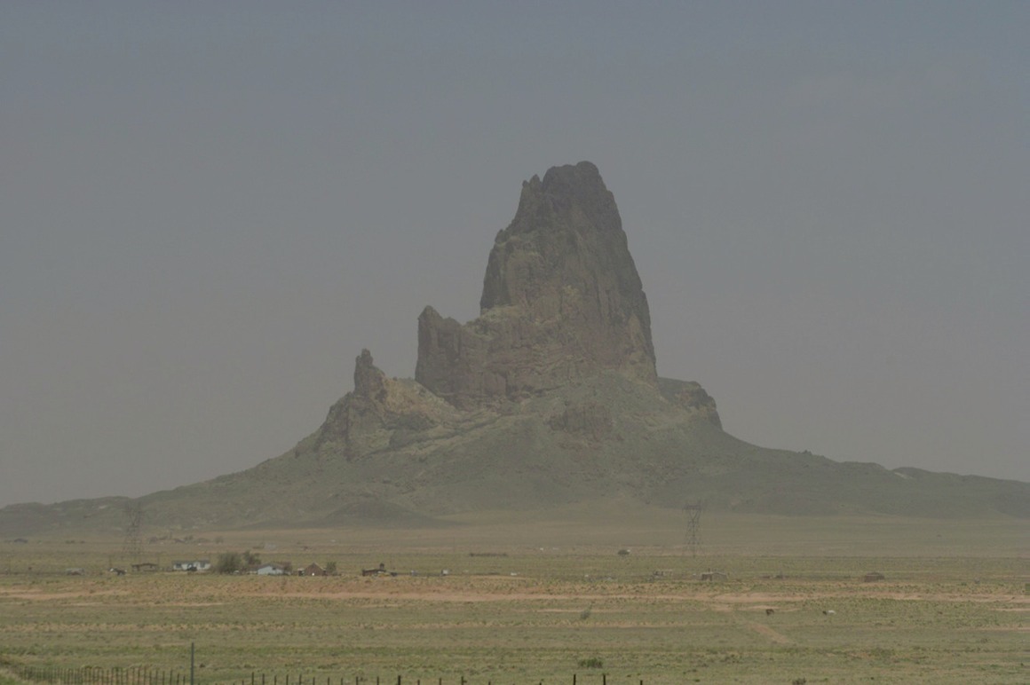
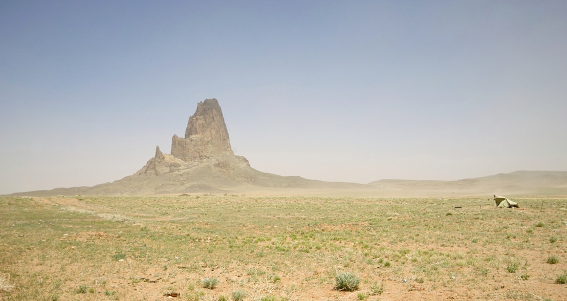
Couldn't believe that they weren't open!
In Monument Valley, shot from the patio area of a new hotel on the rim. This would be a great place to stay!
The American Southwest: Post 17—Debbie's Hide-A-Way Inn
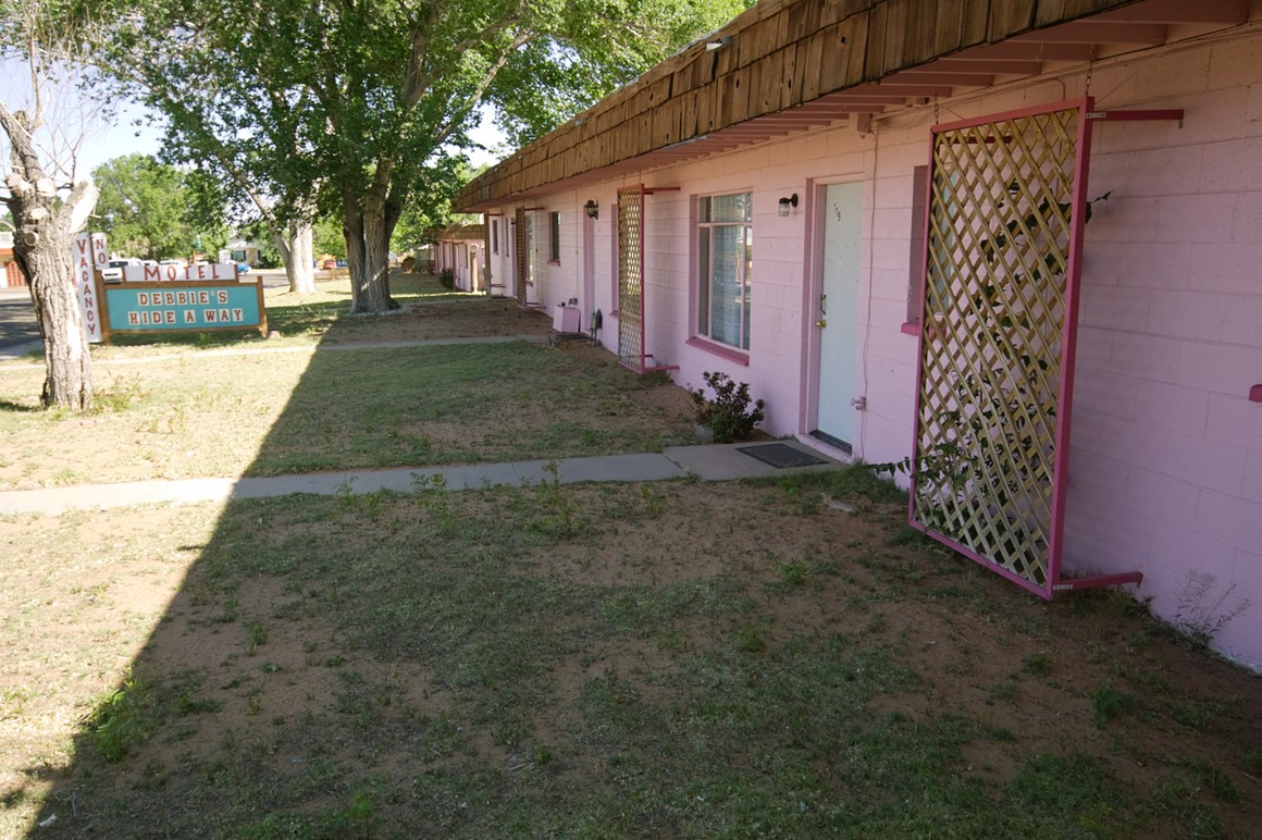
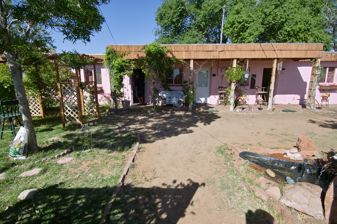
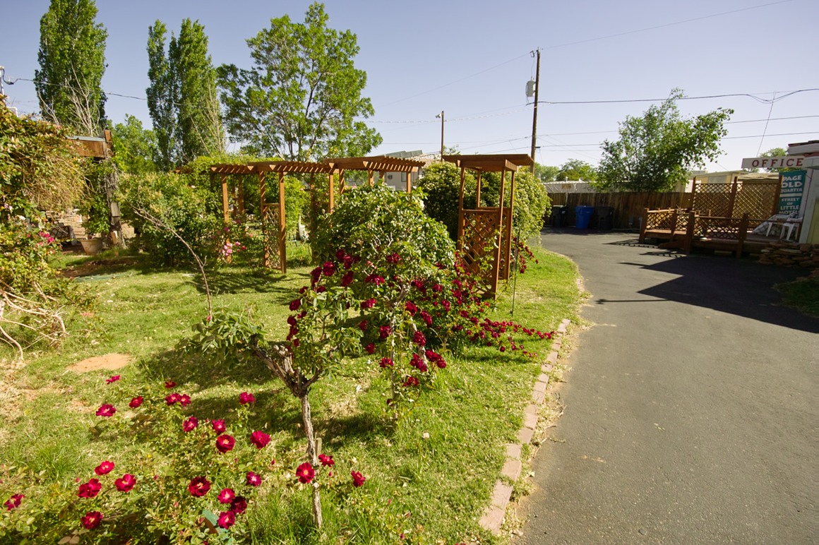
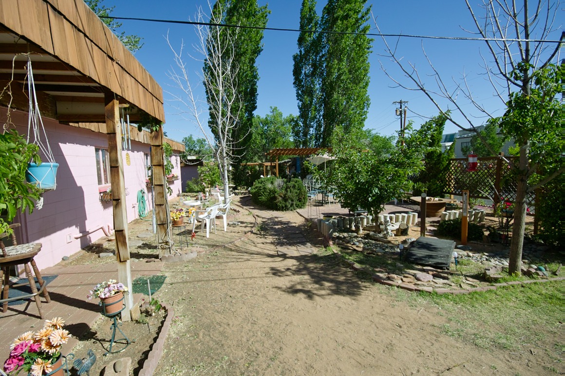
This post probably belongs up higher, but I thought I'd show you where Kendall, Rick and I stayed while in Page Arizona. Debbie's Hide-A-Way Inn is a set of pink concrete block housing that was built to house the workers who built the Glen Canyon dam. These have been converted to a variety of rental (motel/extended stay) housing. We got a 3 bedroom suite: including a kitchen and living room. The kitchen was reasonably stocked with utensils, dishes, and cookware. The rooms were nice and homey (books abounded, some art on bare walls). The price? $69/night! Perfect for three guys who weren't going to be around much. They have on-premise laundry (free), a grill and cookout area, and very nice garden areas to sit and chat with your neighbors. This place was great! Rates go up for the boating season (June 1), but it's still a really nice alternative from the typical hotel/motel.
Road-facing side:
Backside
Roses abound!
Connected courtyard area.
The American Southwest: Post 16—Toadstools
So, I think I've mentioned that my foot was sore this day. And I had expected that Rick and I would go out and shoot for a while in the morning, then come back and grab lunch and chill for a bit. Instead, we've been out for the entire day. Luckily, I was packing ibuprofen in my camera bag, so the medication was keeping the pain down to a dull ache and the swelling was pretty manageable.
We decided to leave Buckskin Gulch and head to the Toadstools right near the Paria ranger station. We stopped at the station to fill up on water, and then headed out for our sunset shoot. We came across our group of Nevada Camera Club shooters at the Toadstools: a couple of these folks had borrowed some of the Sigma lenses that Sigma USA had sent out with us, and they were certainly enjoying them (especially that fabulous 8-16 mm lens).
Toadstools are yet another wacky, bizarre rock formation that this area is famous for. Take a layer of hard rock on softer sandstone and subject to untold years of wind and water erosion, and you get this stuff...
This is the area where these were living…
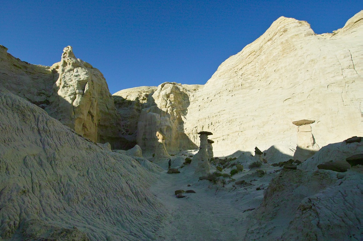
God must have taken a cake decorating class before he created this corner of the Earth…
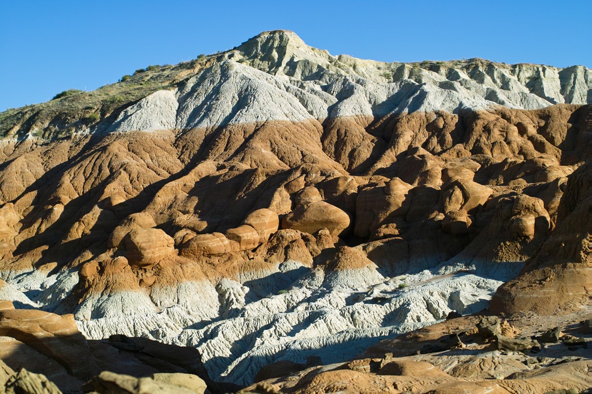
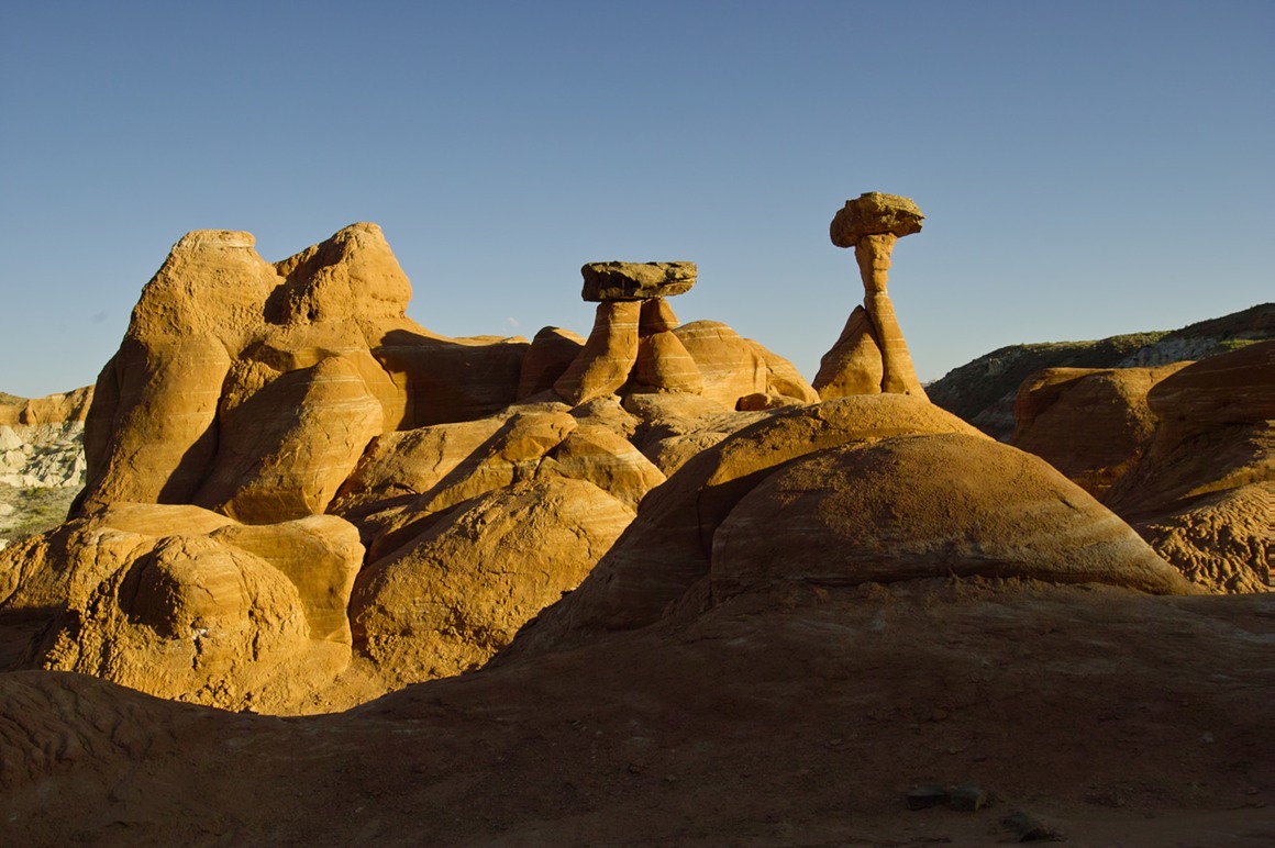
Nice in color (sorry for the noise in the sky).
But I like the B/W treatment
This makes me think of a sunset on Mars
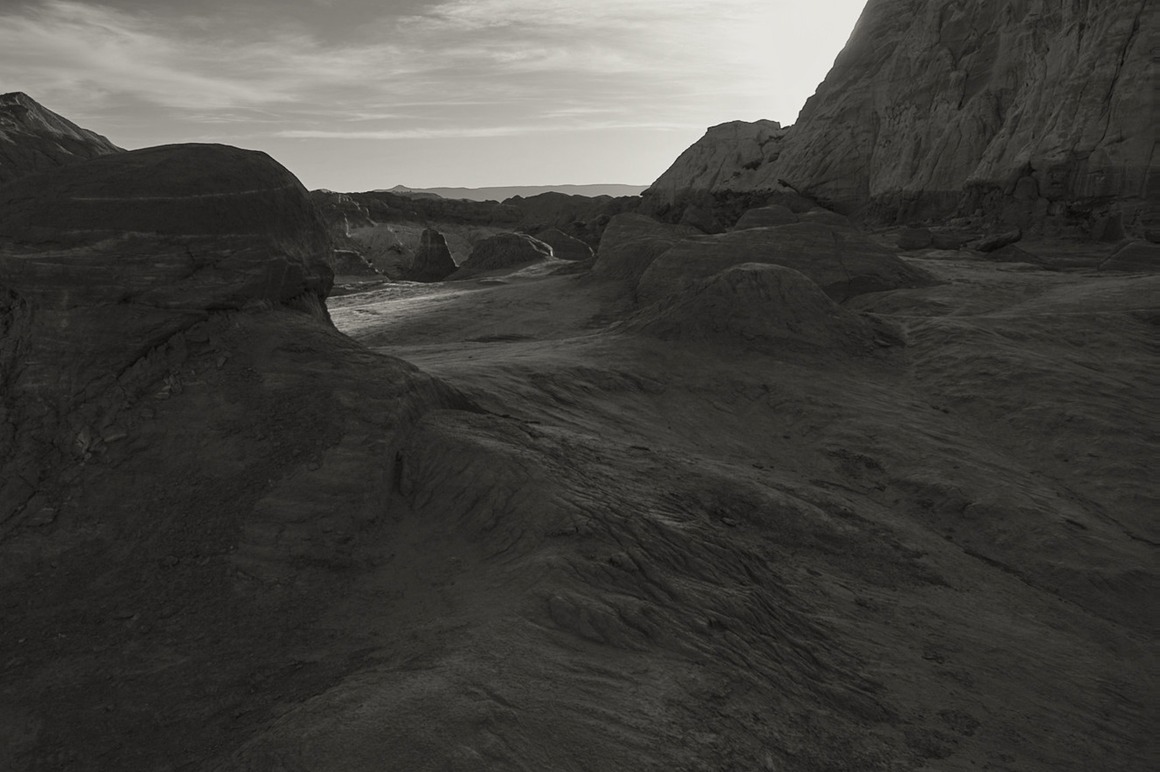
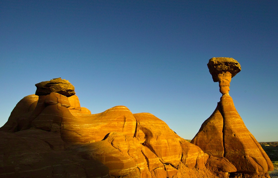
So, this ends my photo journey for the Page area (except for some photos of Debbie's Hide-A-Way Inn). I hope I've given you all a sense of this delightful, wonderful, weird place. It's certainly one of the most photogenic places on the planet, and I feel like I've only seen about 2% of it. I can't wait to get back here!
The American Southwest: Post 15—Last Day of Page
So Friday morning comes, and Kendall needs to head back to Colorado for business. We see him off and then try to make some decisions with regards to our day's outing. We decide to go down to the Lake Powell visitor center and grab some shots, followed up by some wildflower shooting, and then maybe head out to Buckskin Gulch for a hike. The Glen Canyon Dam visitor center is very impressive, and it's worth a visit to see the huge structure. But as impressive as this dam is, you wonder how many beautiful canyons, hoodoos, arches and natural bridges were lost when they flooded this area in the 60's. Although I'm sure it's much easier to water ski on the Colorado river upstream of the dam now…
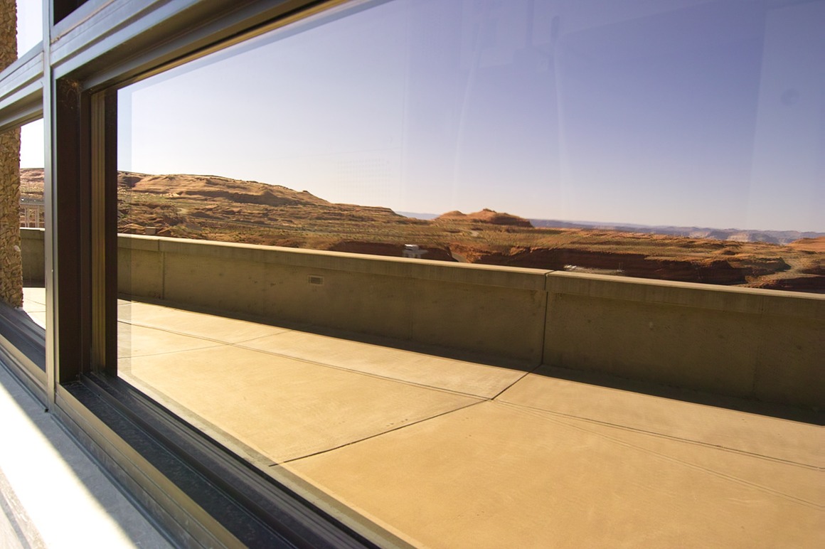
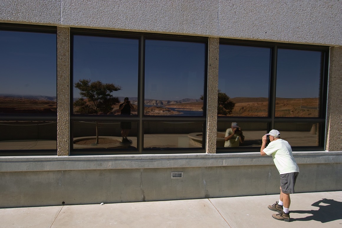
Now this is an impressive flower spike!
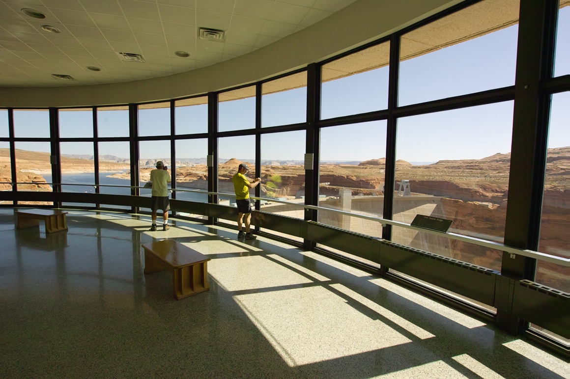
For wildflowers, we decided to revisit an area off of Cottonwood Road.
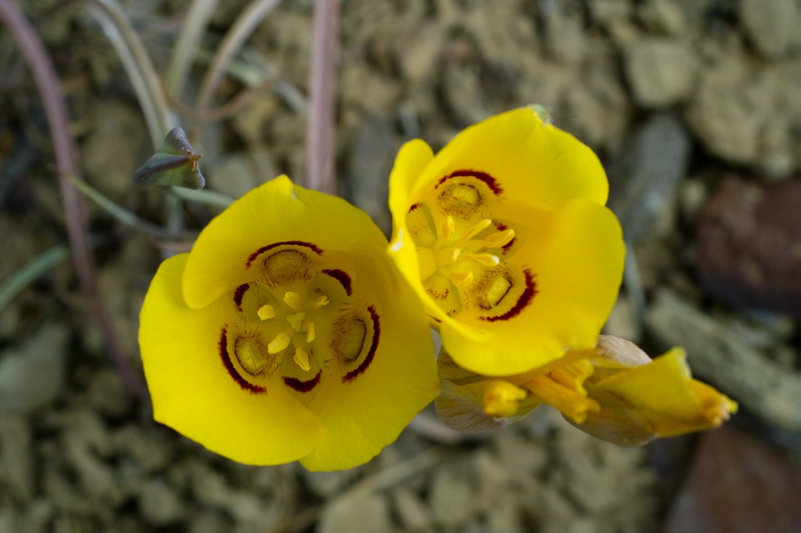
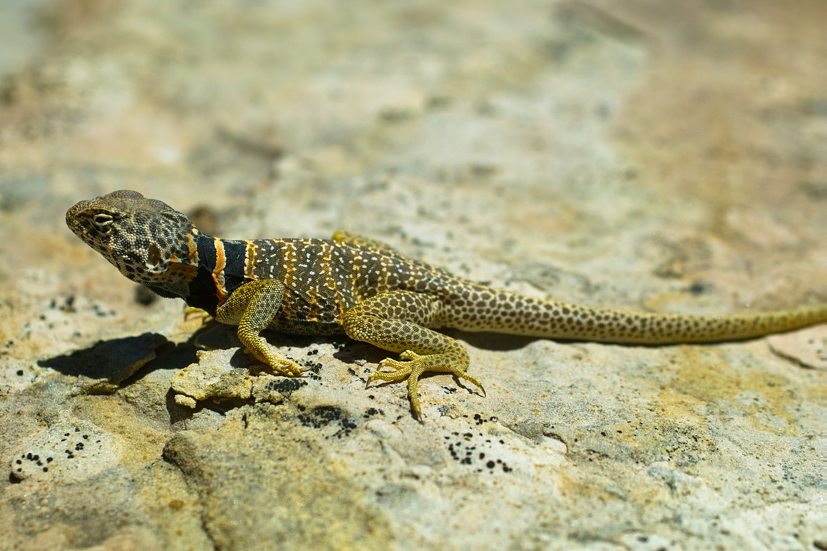
Finally, we made our way to Buckskin Gulch. Let me mention at this point that my foot was aching, and I wasn't sure how far I'd be able to hike before Rick would have to leave me to the wolves. We never got to the impressive parts of the Gulch where it joins Paria Canyon. I was checking some reports on that area after returning from the trip, and it sounds like that hiking the Paria Canyon would be an outstanding two or three day trip. We enjoyed our trip through the wash during this hike, enjoying the wildflowers and scenery in the area. We got a couple miles in when we found some rock formations that had these collared lizards on it. Most of the lizards were pretty skittish, but this one sat around and posed for the two of us for the better part of an hour. Rick would work the lizard for 5-10 minutes, then I would take a turn, and we'd each get progressively closer. Then we'd switch. There's nothing better than photogenic wildlife!
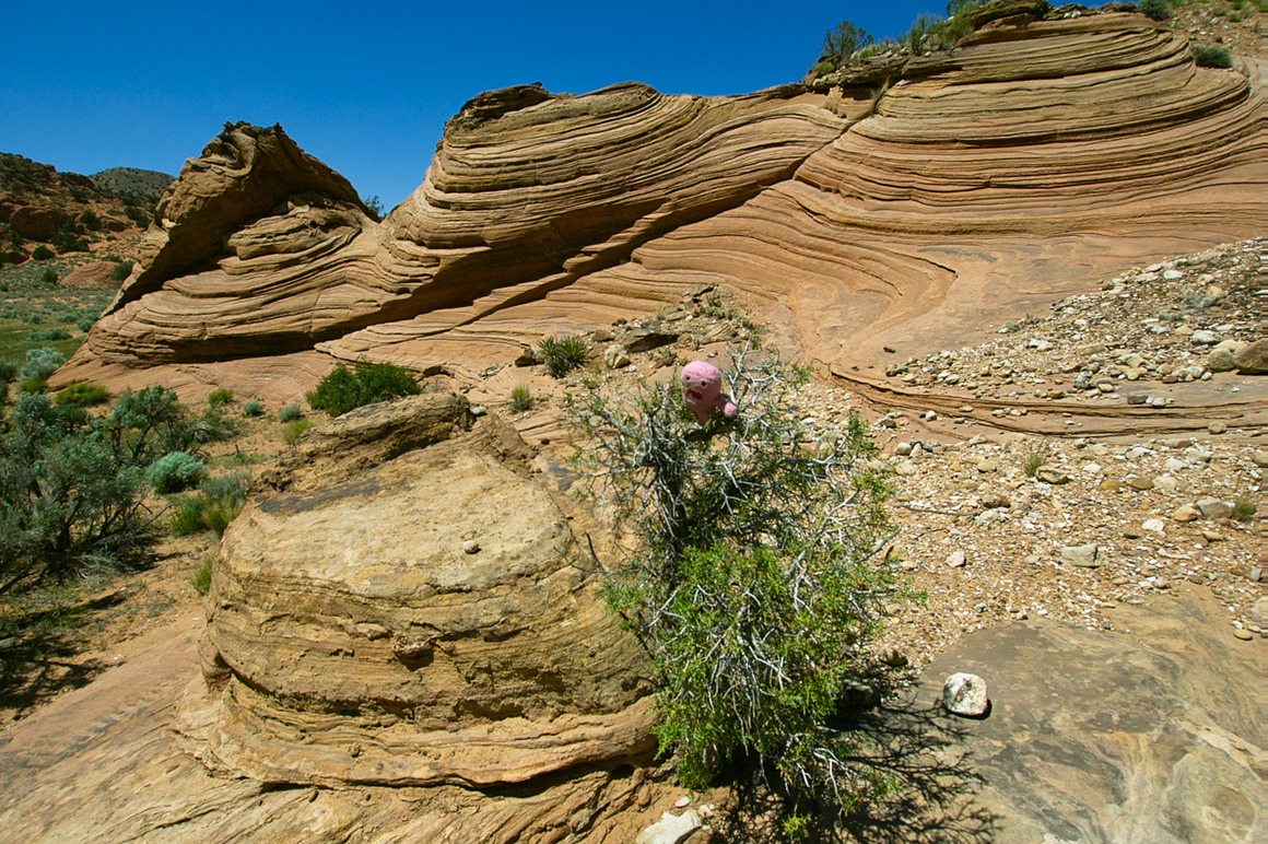
This is the entrance to the gulch area. Perfect size for a domo...
Our scaly friend…
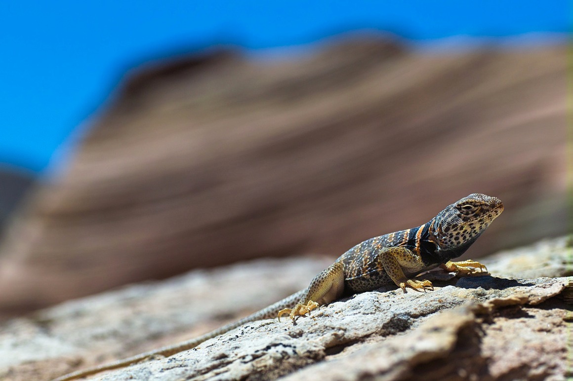
Kiss me, baby!
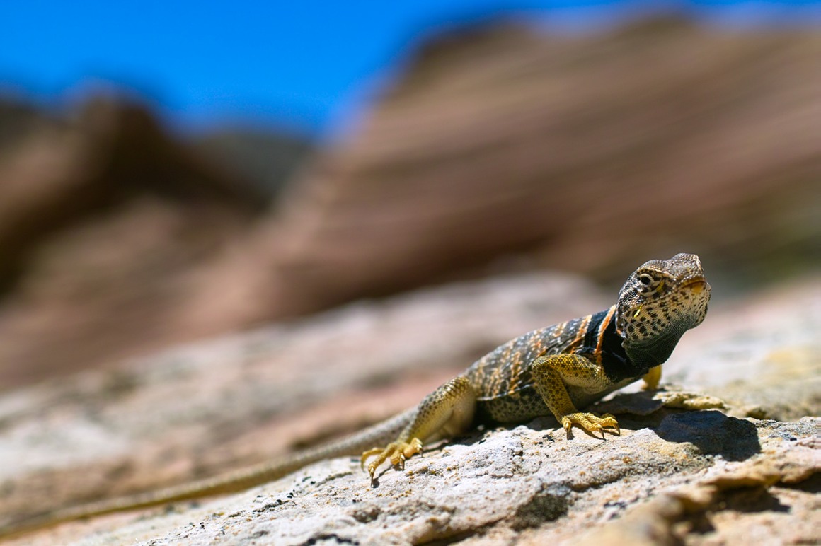
If you were wondering about the weird out-of-focus areas behind the lizard, they look like this. I have no idea what that pink thing is doing.
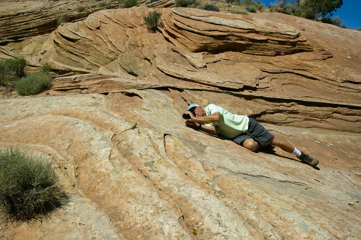
Rick is stalking
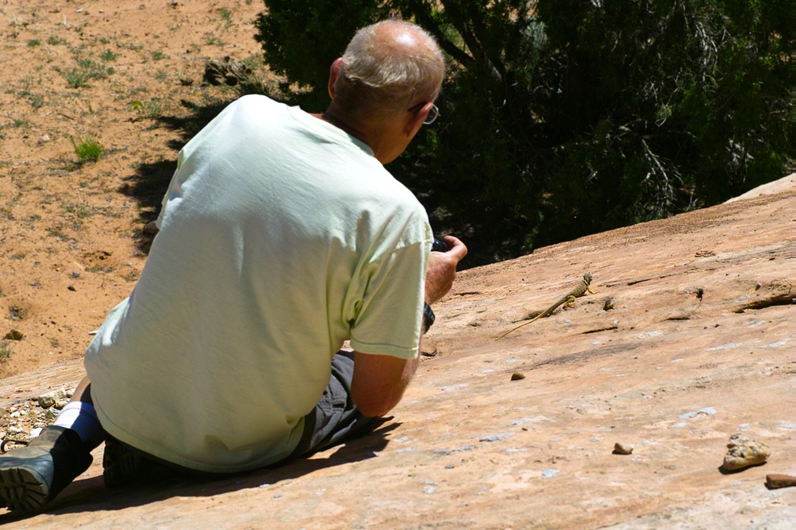
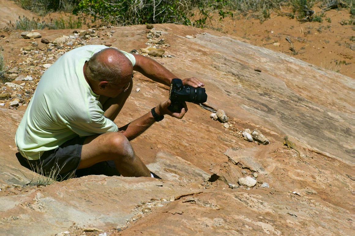
You have no idea how close you have to be to a lizard (bottom right) to get them in the frame of an 8 mm shot…
Obligatory yellow cactus shot. They are truly beautiful!
We hiked a little further, and I did a little climb to get to higher ground.
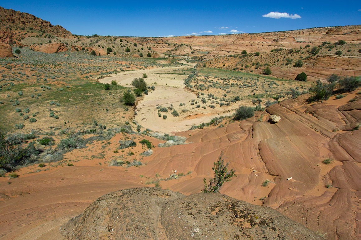
In case you want to know where tumbleweeds come from, it's here—the tumbleweed factory.
Hanging on by a thread.
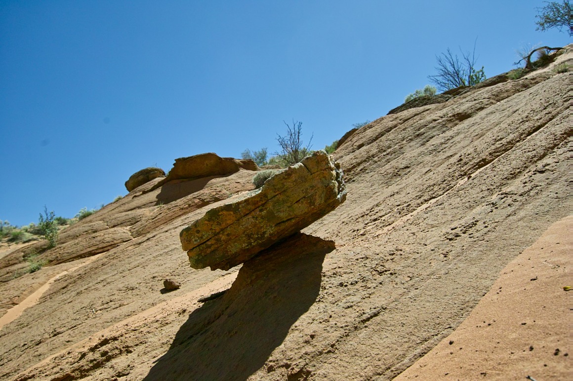
We ended up hiking back on what ended up to be the hottest day we spent in Page. But we weren't done yet—we had some toadstools to shoot!
The American Southwest: Post 14—South Antelope Canyon
So it's Thursday, May 20th. We've just gotten back from the wilds of the Paria Plateau. Isolated, quiet, wild photography. Today we follow it up with a shoot of a classic: Antelope Canyon. This is only a 10 minute drive from Page. The slot canyon sits on Navajo land—it's very popular and very, very crowded.
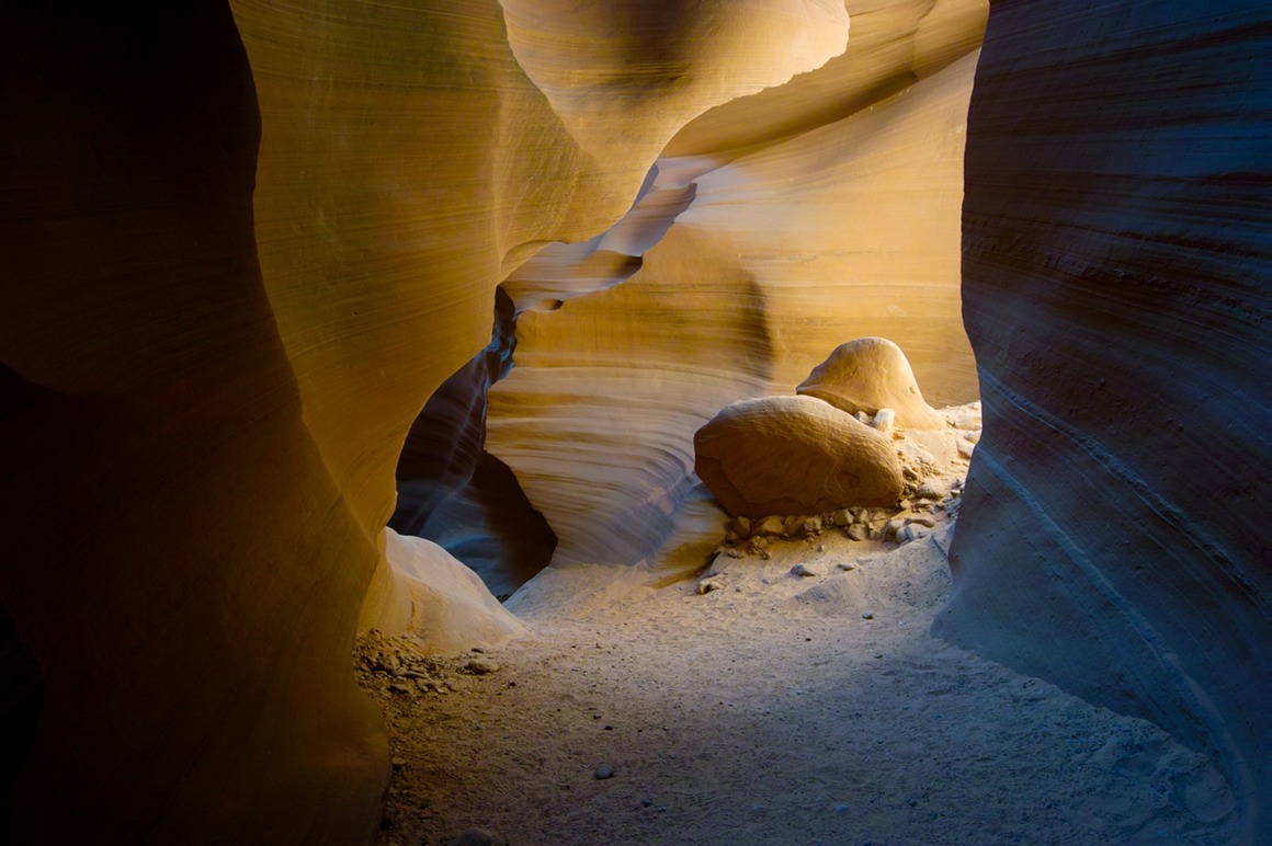
For those not familiar with slot canyons, imagine a sloping plain of sand and sandstone. Pretty flat terrain. Imagine you pour water into this area, and it eventually finds a lower spot to run off. Rinse and repeat for a couple thousand years. You end up with a deep canyon that is almost unnoticeable from above. The entrance is barely large enough to fit me into it. But this crack in the earth slopes down, from 5 ' deep to 10' to 20' to 60' or so. The striated sandstone is beautiful and polished from the wear of water (and probably some wind too). Not a place to be in a rainstorm (you'll die). The width varies from some chambers that are around 20' to areas that you have to turn sideways and squeeze. There's a nice sandy bottom and steps/stairs to guide the way. In general, the Navajo only allow guided tours unless you ask specifically for a photographers pass. Then you'll be allowed to dilly-dally to your hearts content.
We showed up around 10:30 or so in the morning. The place was packed. The light was getting harsh. Jim's frustration with Chunsum's tripod setup (which doesn't point 'up' easily) was evident. But we snapped of some decent stuff even with the crowds. There were some 'shaft of light' shots (I didn't get any particularly good ones). But we decided to come back in the afternoon when the light would be lower—the hope was that the sandstone would 'glow' more with reflected light.
When we got back, light was still 'hot', but the crowds had substantially thinned out. It was much more fun working in there now. We could take our time, not be in the way of other photographers, and we didn't have to deal with the one jackass photographer who was there in the morning yelling at everyone. The light got better as the day wore on, and we started to get the classic 'glow' of the sandstone. Remember that the colors you see are more due to the lighting of the stone than differences in the stone itself (I think it's pretty homogeneous the whole way down). This was a great experience for me to shoot one of the classics, and it was a lot of fun until the very end…
Mmmmm, land of swirls…
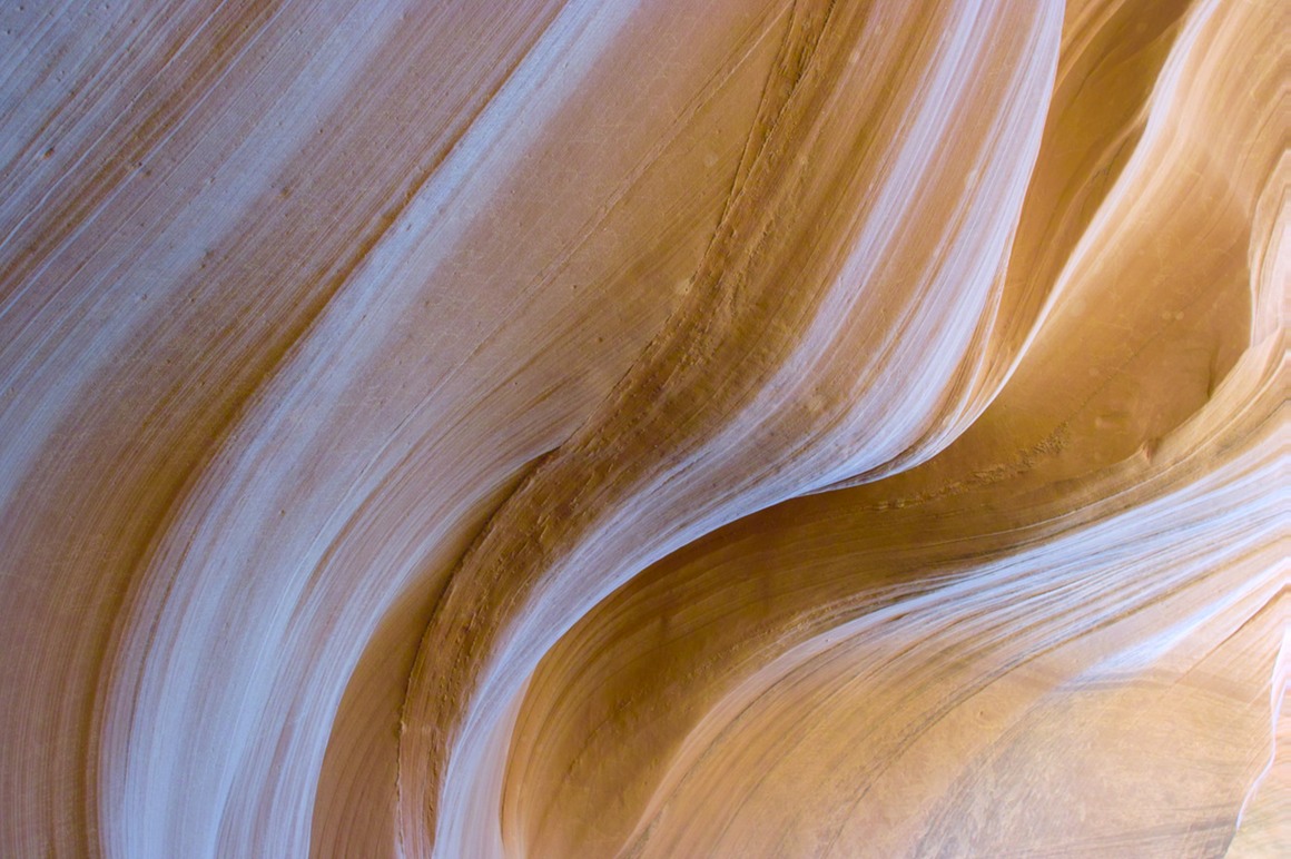
And land of contrasts in light. It was really hard to get rock solid exposures with bright and dark. Huge dynamic range issues. Skip metering and shoot manual.
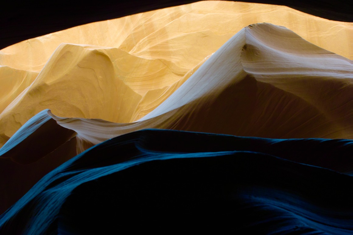
An example of different colors of rock from the 'same color' of rock. What's my white balance?!?
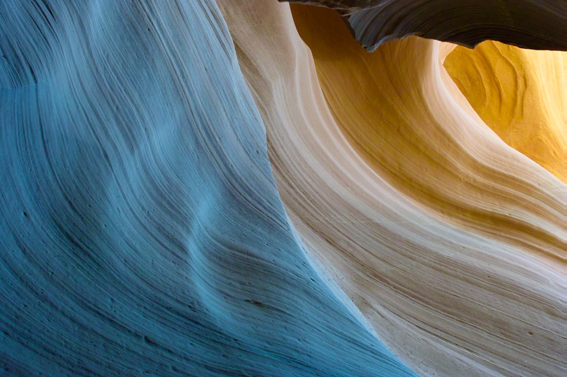
These are just beautiful
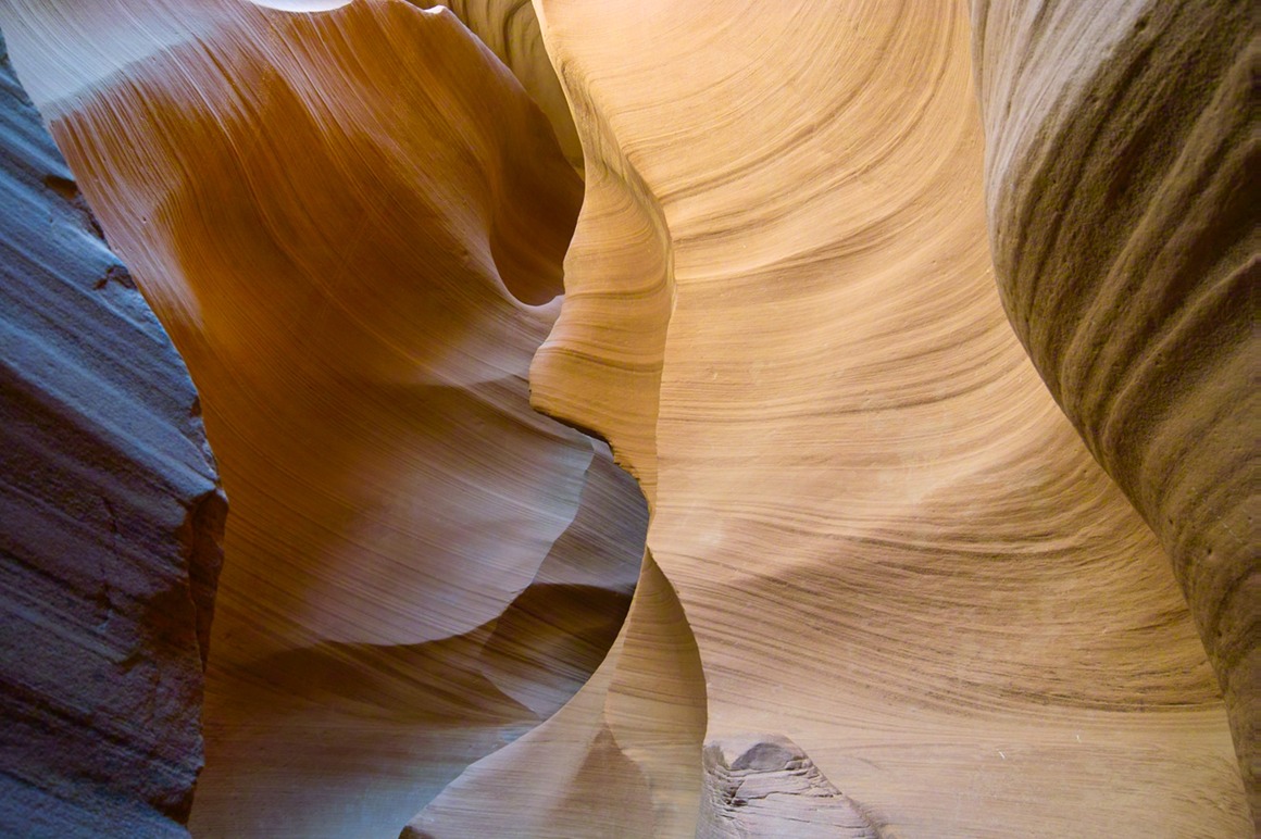
And Kendall helps give you a sense of the scale of this place. This is a natural 'cathedral'. It's an amazing experience.
Of course, pink danger lurks behind every curve.
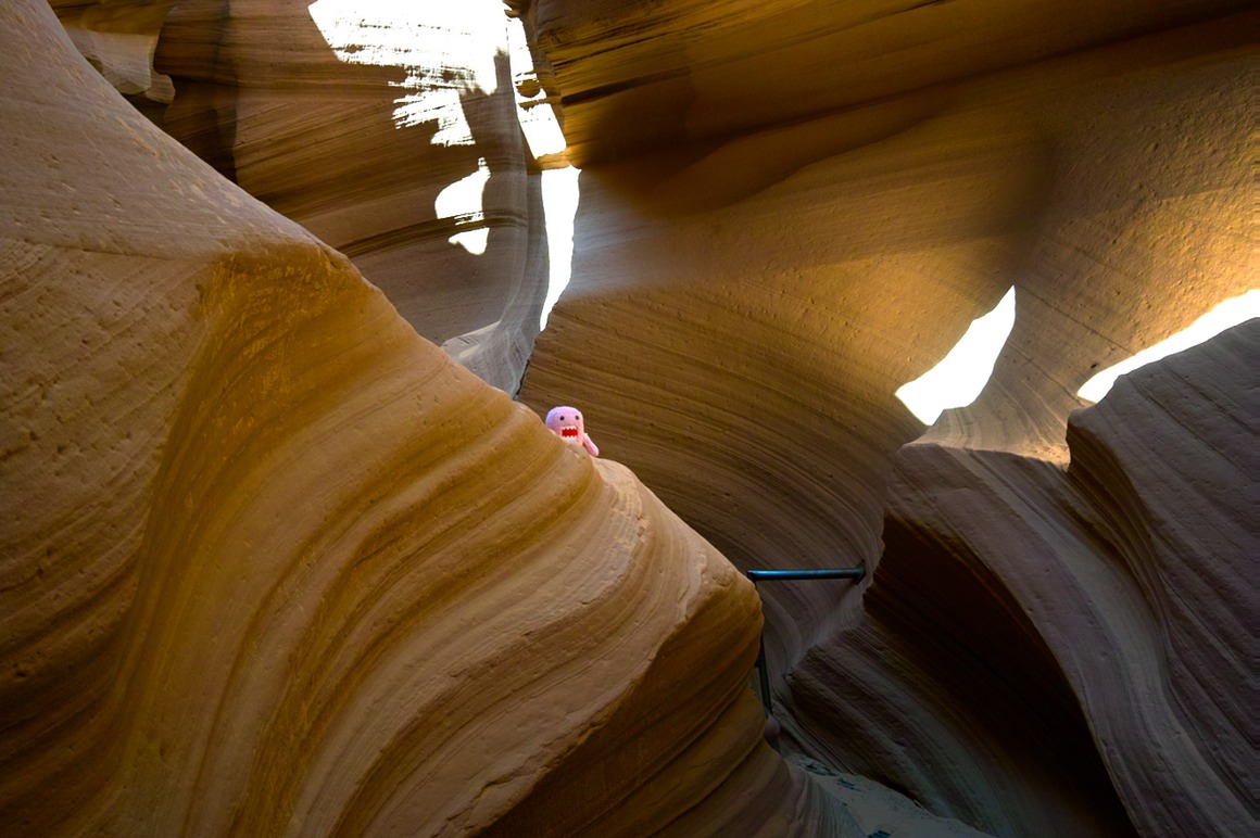
Pointing up with Chunsum's tripod/head combination made for some very interesting flexibility exercises for me.
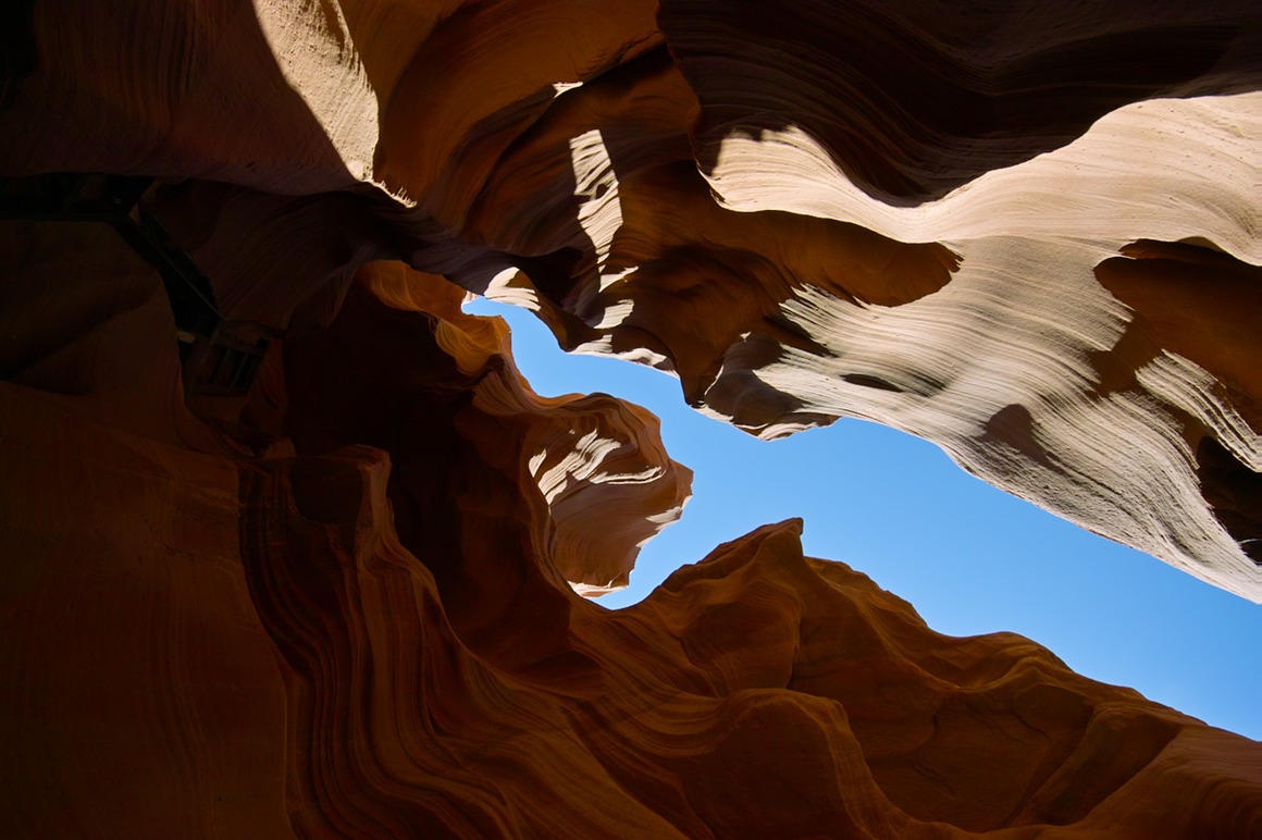
I appreciated the nice floor. There are other slot canyons where you're climbing boulders, splashing through streams, praying that there aren't any storms coming. This one is much easier.
These next two are very similarly framed. The top is -1.7 EV on A mode, and the bottom is 0 EV. You can see a difference in both noise and color (although I didn't work very hard to bring them together with regards to color).
Domo enjoyed the canyon.
This last photo I show to illustrate the end of our day. That afternoon I was pretty tired: a little sore from our outing of the previous two days, and all the bending and flexing to get shots in this canyon. These stairs were really nice except that they were quite steep, and the tread surface was really not a good match for my hiking shoes (they would catch). I had turned around to go down this like a ladder in the morning, but in the afternoon I just decided to descend like the person here, walking straight down. Tripod in one hand, camera around neck, bag at other side. Well, about 2/3 from the bottom my boot stuck in the tread, and I pitched forward. My reflexes worked to grab the railing with my hands, and I basically 'slid' in a freefall to the bottom, slanted back to the ladder. I landed right on my right foot (heel actually), which concerned me. It hurt—I'm fortunate not to have ankle ligaments any more, so no sprain—but I was worried about a bruise to the bone. I have one, and it's still something that I'm feeling now. I also pitched backward as I landed, and smacked my elbow against the metal treads of the stair. That left a nice big gash that really bled nicely. Not an even cut, I scooped out a nice chunk of flesh. I took off my shirt and wrapped the elbow so as not to bleed all over the place, and we hiked back up the stairs and out to the stand (a little after closing time, which no doubt pissed off our hosts who were ready to close the place up). Kendall and Rick dropped me off at the motel and went out to get bandages and antibiotic ointment. I'm happy to say that its healing up nicely, but my days as an elbow model are completely over...
This was our only 'trip mishap', so not so bad. And it turned out my foot didn't slow us down too much.
The American Southwest: Post 13–Bentonite Hills
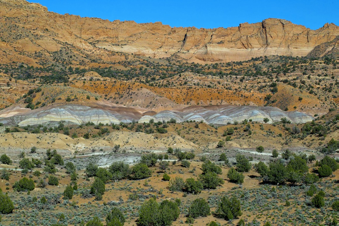
Unbelievably, we're still not done with 'Day 5' photography! While driving in on House Rock Valley Road, we had stopped to take photos of the Vermillion Cliffs and these wacky striped multi-hued hills in the foreground. Both Kendall and I had thought we'd seen a road that would allow us to drive in amongst them, and perhaps get to an area in the cliffs that looked like it might have an arch. So on the way back, we turned off of House Rock Valley Road and followed a small dirt road through a wash, hopefully being led to the area we had seen earlier. But, no luck... We turned around and found another branch, but this was marked by the BLM as being a 'vehicles forbidden' area. So, we decided to park and hoof it in through a wash.
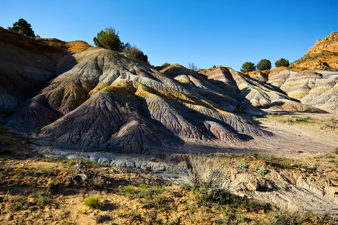
Bentonite is a type of clay material, and one of the rangers at the Paria station had mentioned these by name. You can see them shown below: The Vermillion cliffs at top, some very red/orange sand and rock in the middle, then a bunch of these striped clay hills, followed by more sand hills, and then another layer of bentonite. The earth has just been laid bare out here.
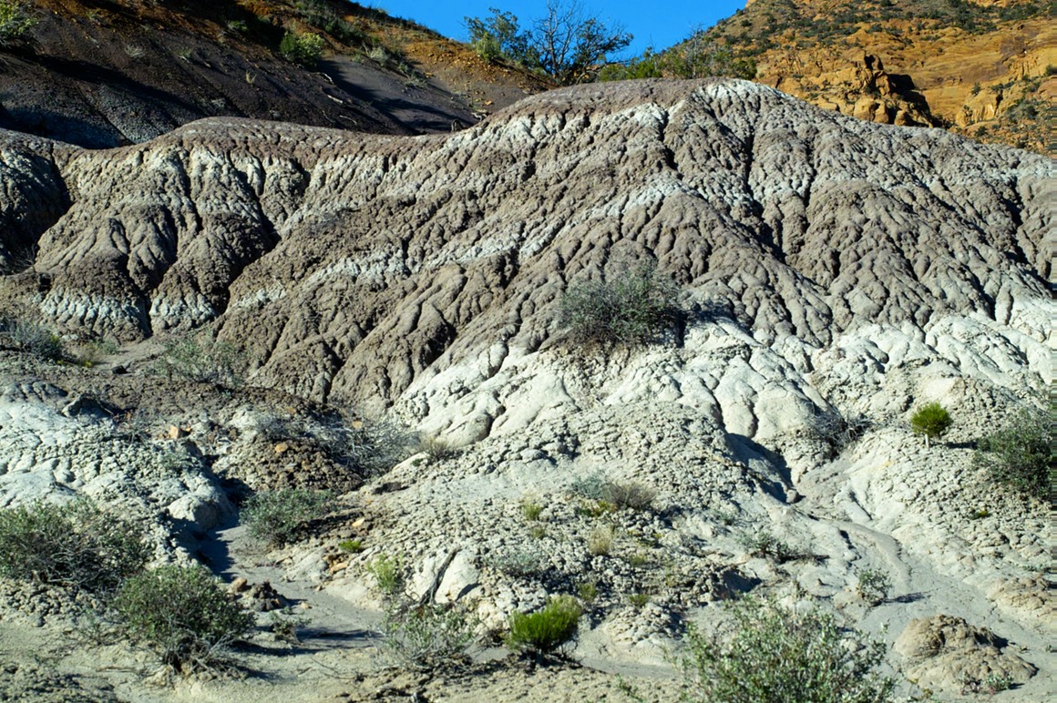
The hike through the wash was really quite pretty, and there were a number of beautiful polished pebbles all around. I wished that I had photographed it, but my SD14 had pretty much eaten all my batteries, and I was saving juice for the final destination. When we got there we were awestruck. Another bizarre landscape: fragile and wonderfully weird. This reminds me of the 'silly sand' stuff that we used to play with in the 70's. This hill below is probably only 10 feet tall, but you can see the stripes of white in the 'chocolate'. It's an intimate example of some of the larger formations that we were going to photograph.
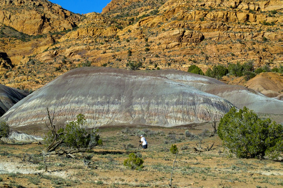
Rick setting up to shoot a medium sized hill.
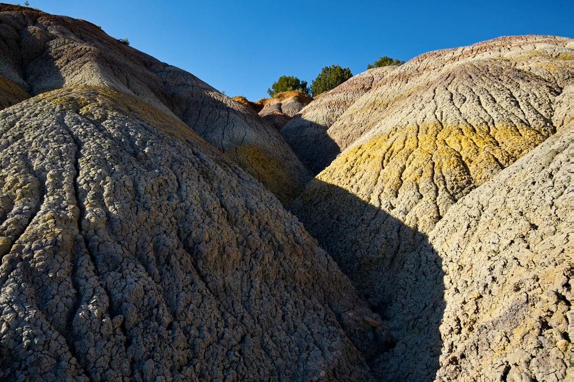
Where in the world do these colors come from? Yellows, oranges, greens, reds, purples.
I'm surprised that Domo's not hiding in this photo somewhere.
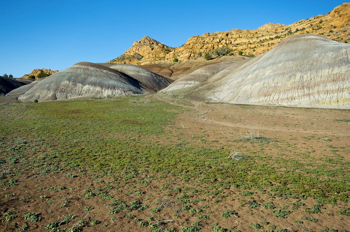
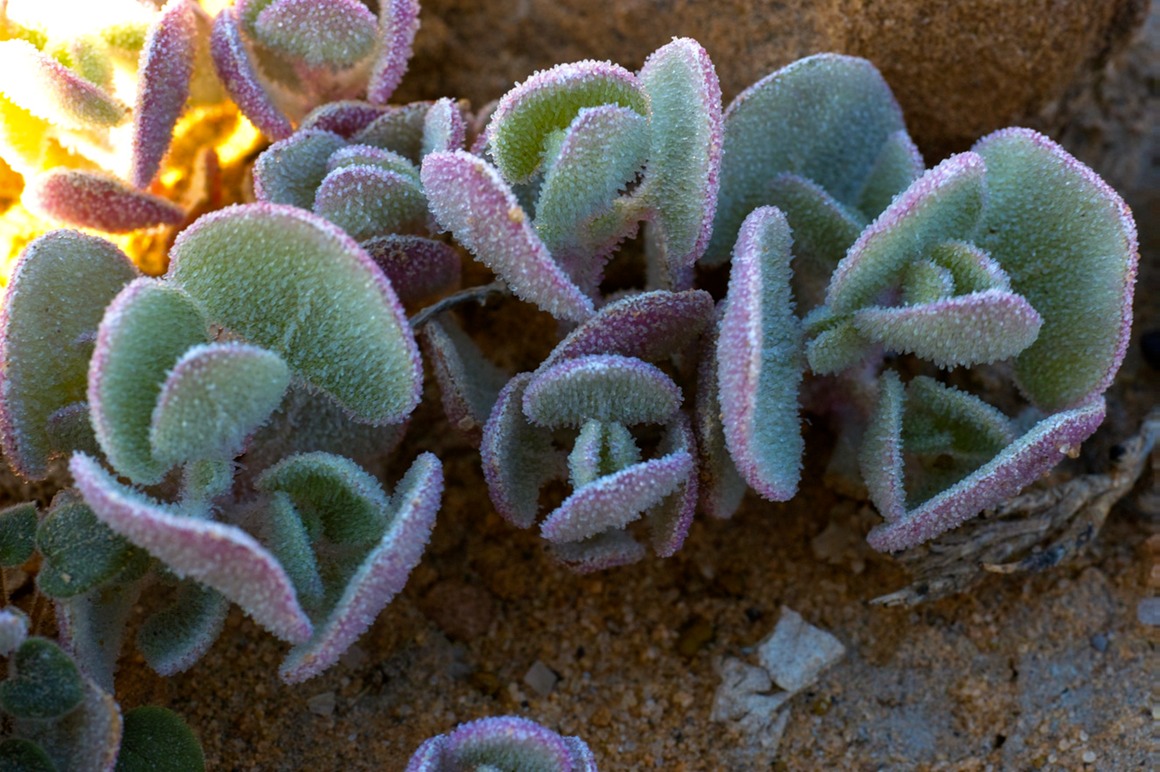
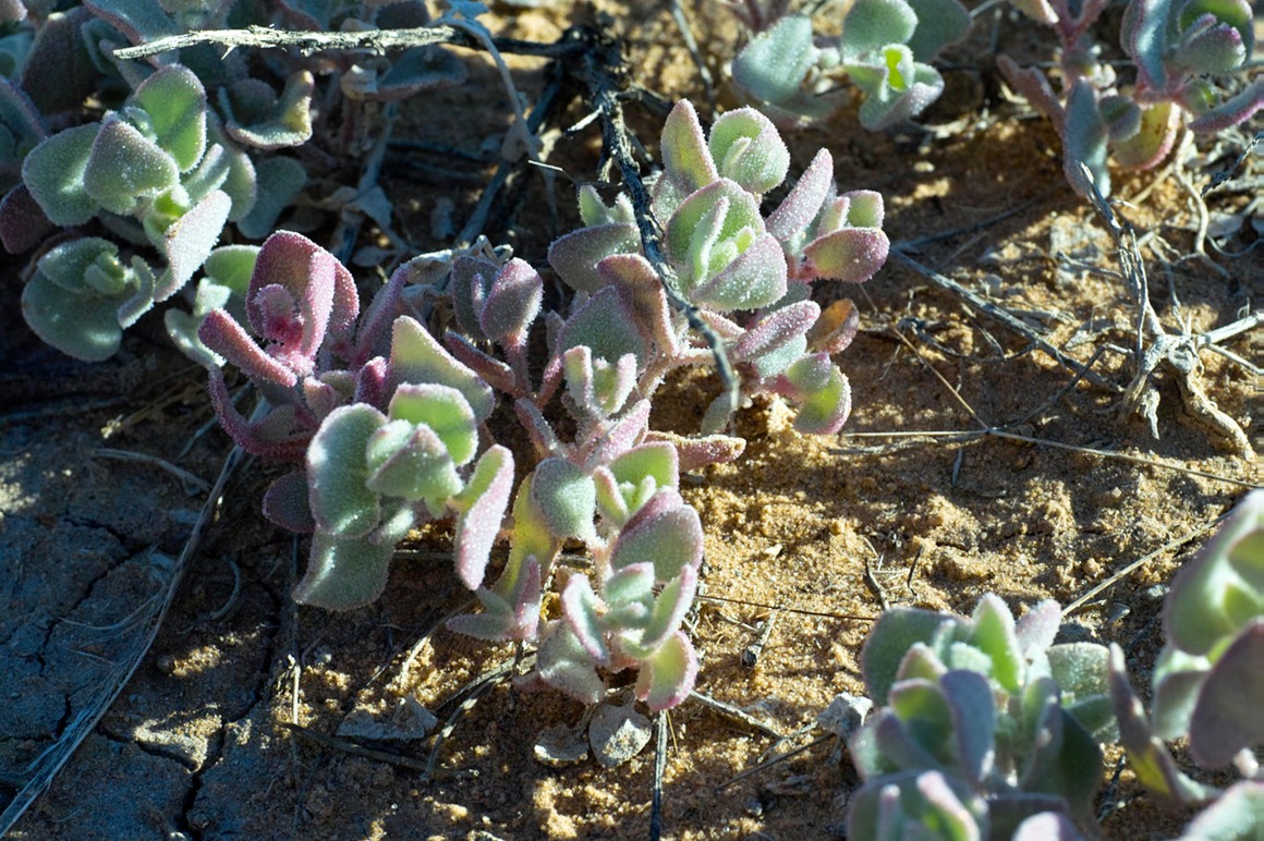
It was amazing to see anything growing in this area. There were two major types of plants in the clay: this broadleaf thing that would send a bloom spike from the center (things weren't blooming yet), and a small succulent that reminds me of sedum.
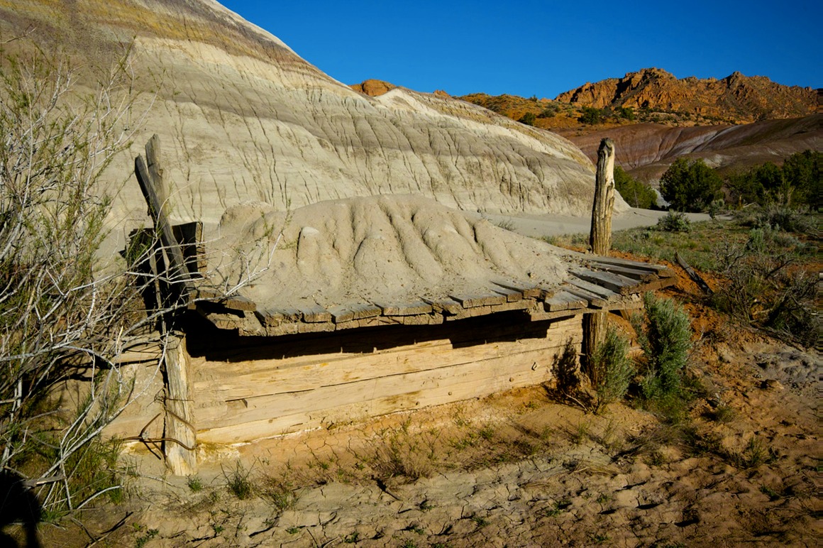
This is in an area that probably had cattle grazing. What this is used for, not sure...
This give a nice scale to the smaller striped hills. The bigger ones are to my back.
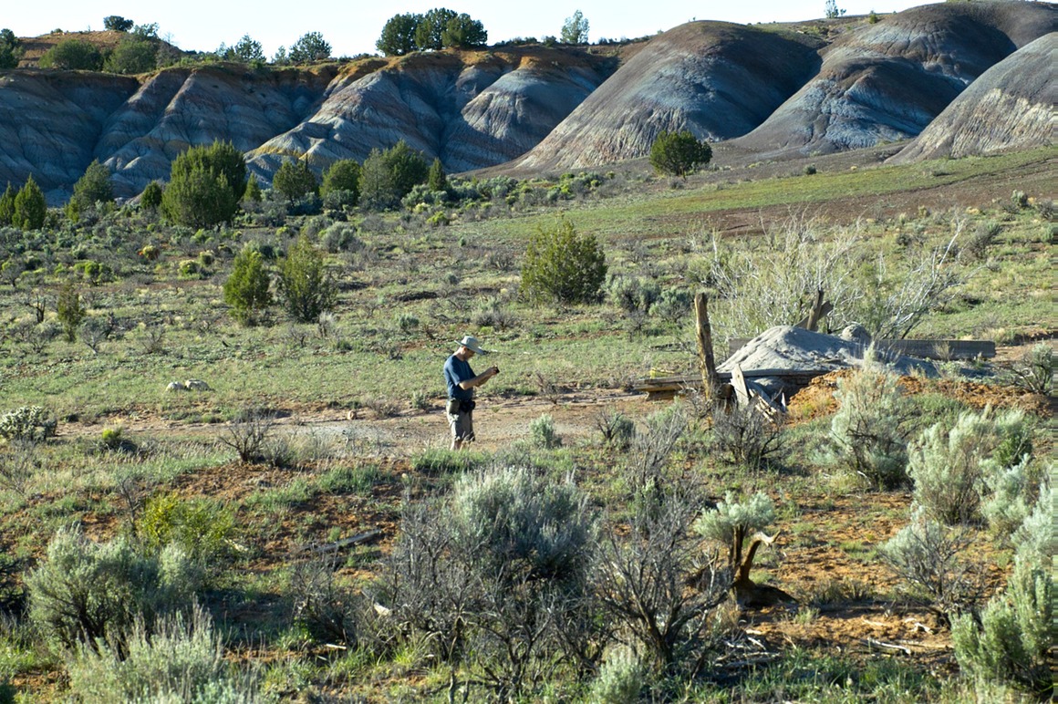
Speaking of bigger, here we go.
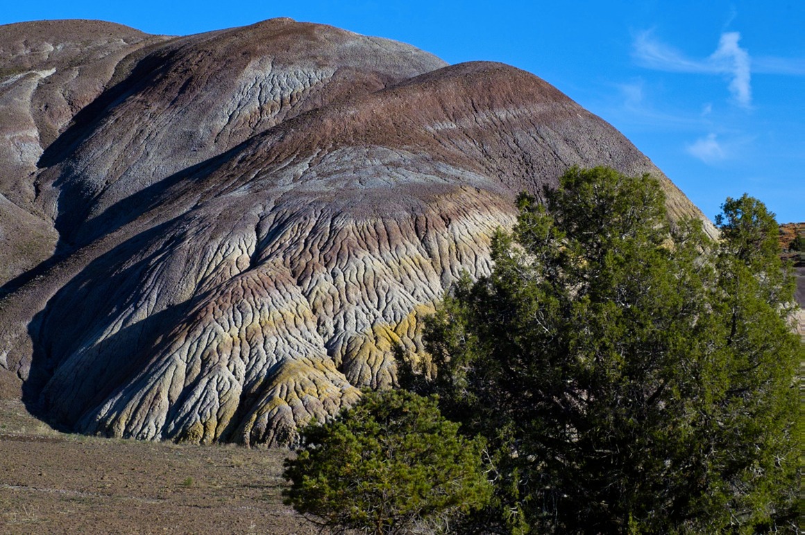
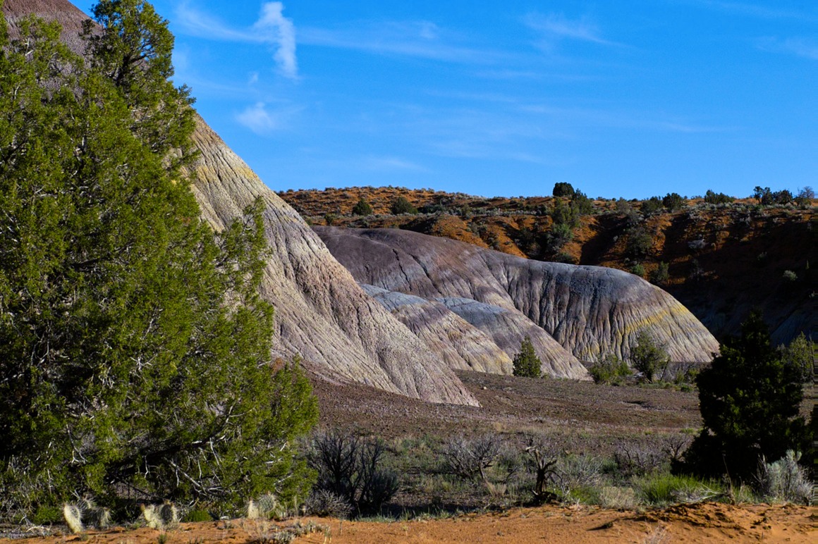
These hills probably approach 80' tall.
Here are these succulents that I mentioned. They're beautiful, but I didn't get a great photo of them. That's probably my biggest disappointment of the trip (so I'd say I had a pretty good trip...)
Yes, the hills are spectacular in color. But they do pretty nicely in B/W too. Low contrast vs...
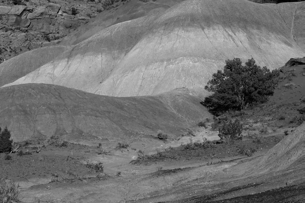
higher contrast.
I climbed one of the largest hills up a wash area (to not damage the hill). The top area was surprisingly firm and resistant to my footprints, and this was a fantabulous view as the sun was getting lower in the west. The cliffs were just on fire!
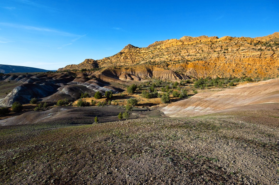
Looking in the other direction.
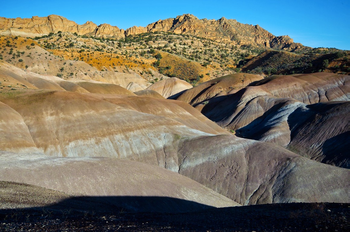
And that ends Day 5 of photography. It seems as though it was nearly an entire lifetime of opportunity rolled into one 16 hour period! Rick had promised me that if I liked Death Valley, that I would love this area, and I get what he means. Wonderful, wild, isolated, with such an incredible diversity of natural beauty. It's hard to believe that there could be anything else to photograph around here, but tomorrow we dive into the slot canyon of South Antelope.
The American Southwest: Post 12–Rock Abstracts from SCB
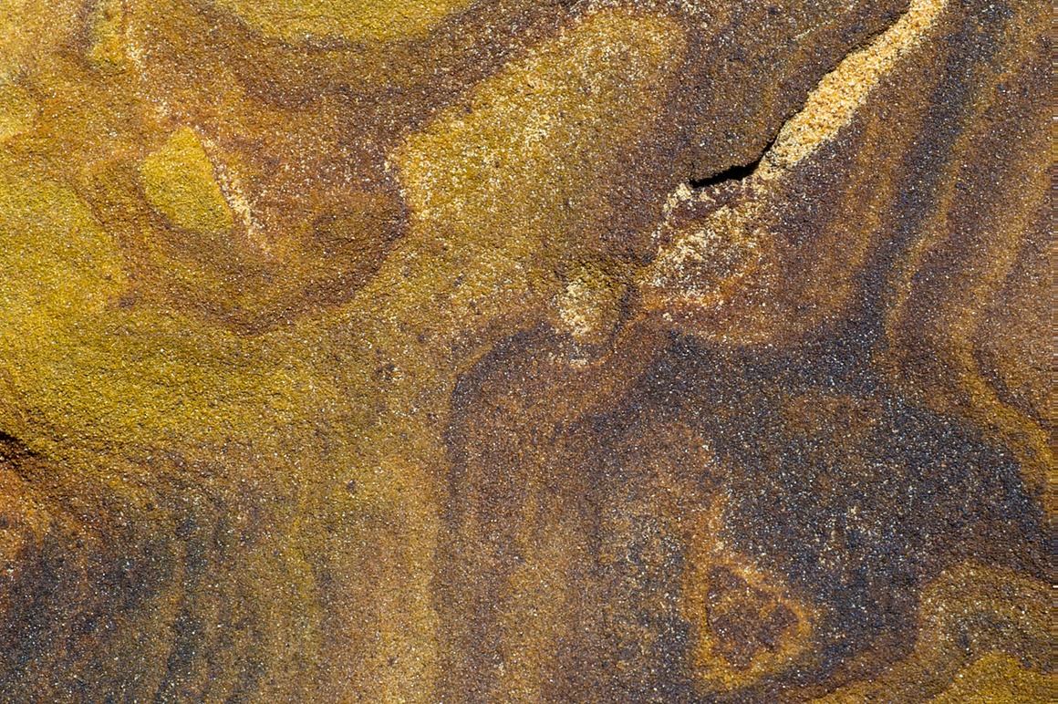
Rick inspired me to start doing some rock abstracts, and this area was fantastic to do it. There are a few photographers who's 'abstract' work really inspires me, and although I love it, I never seem to make an effort to do it myself. But here's my effort from this area: there was great material to work with!
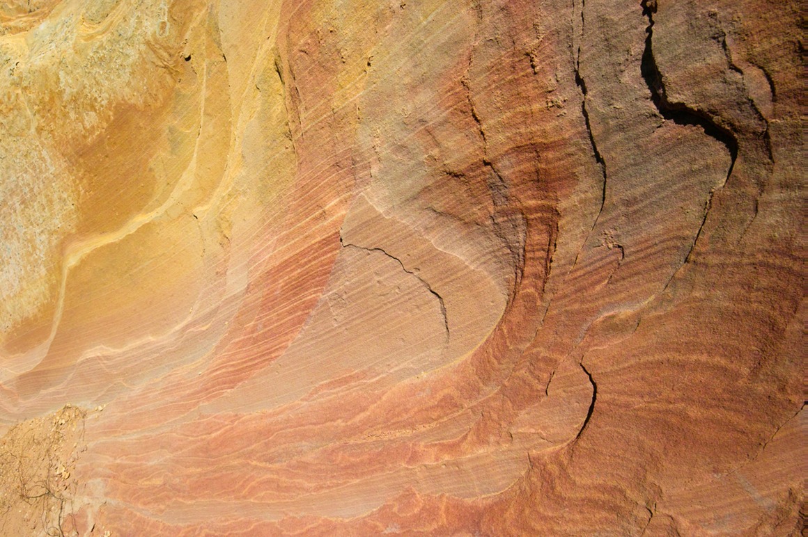
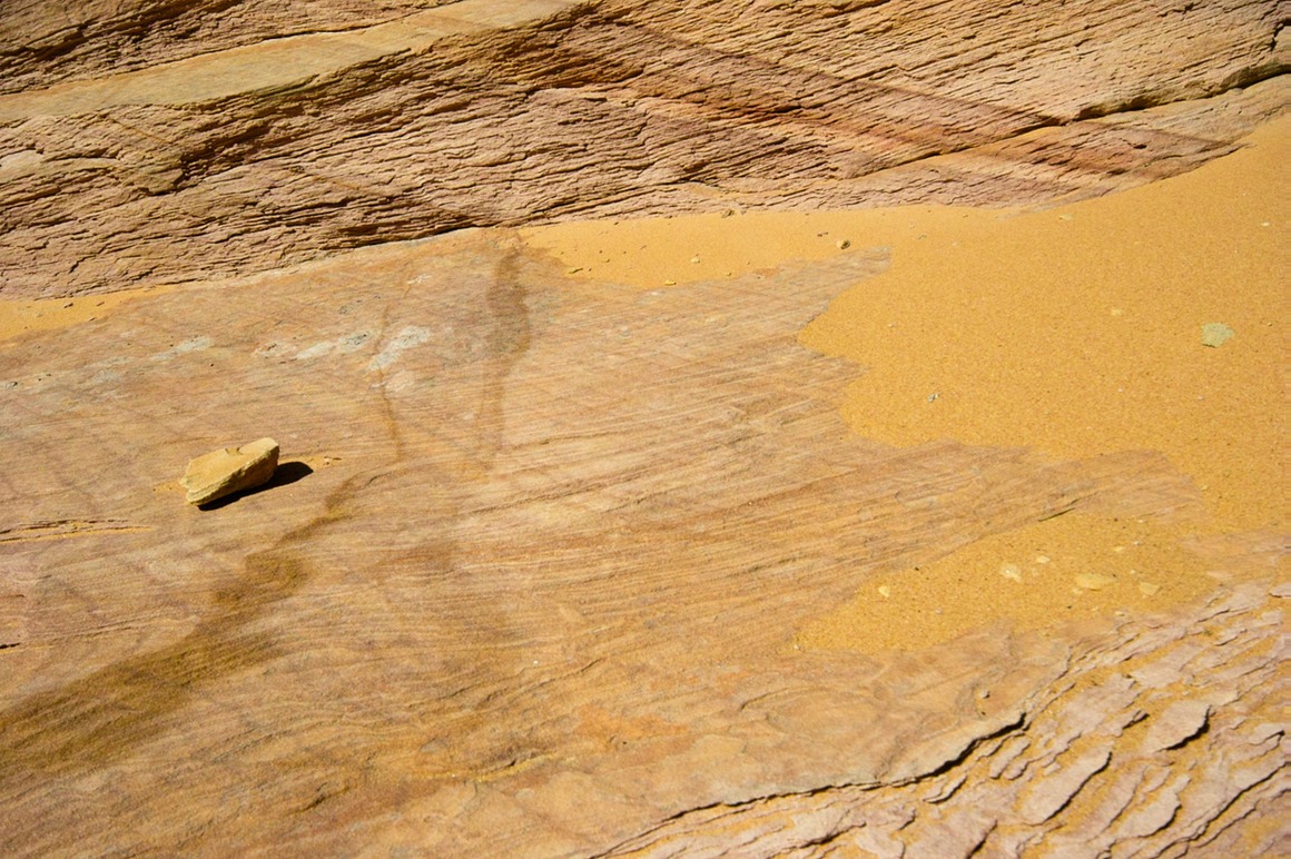
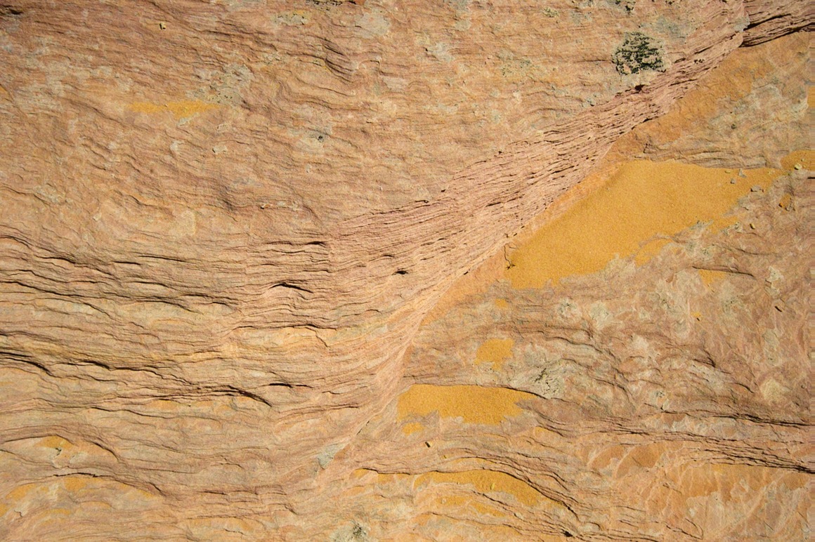
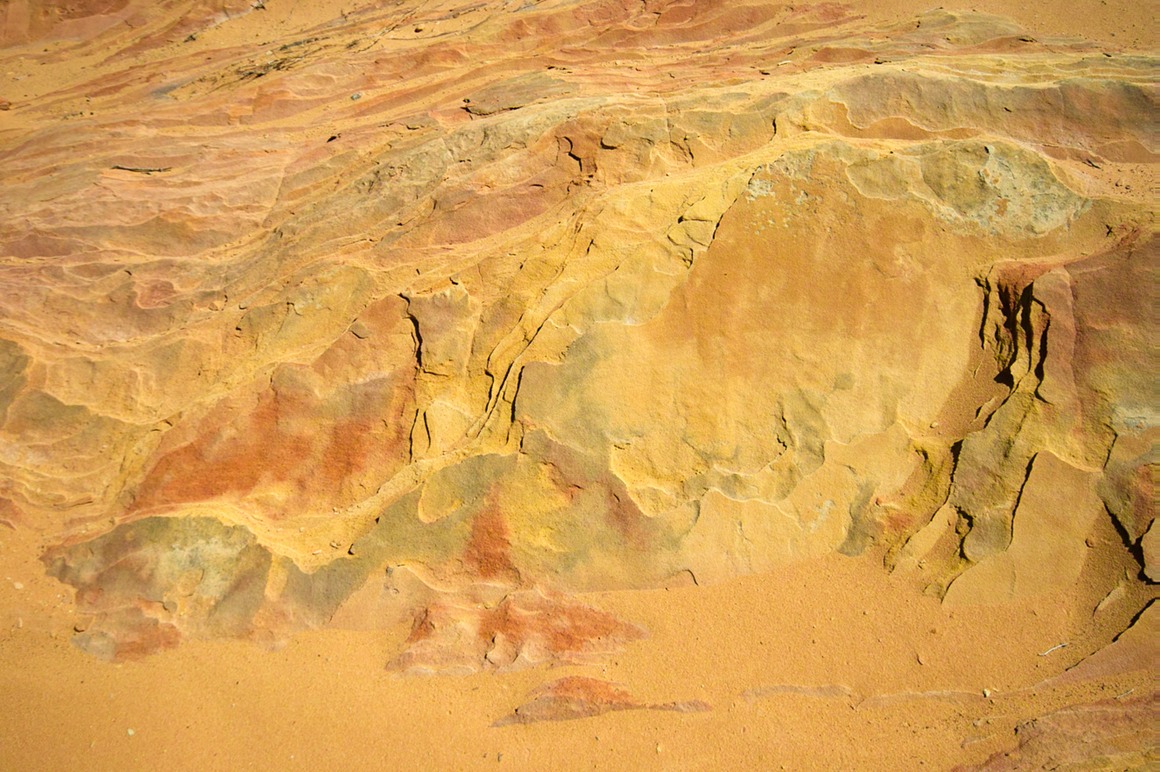
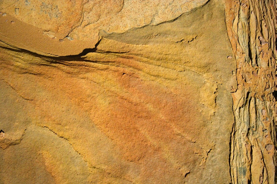
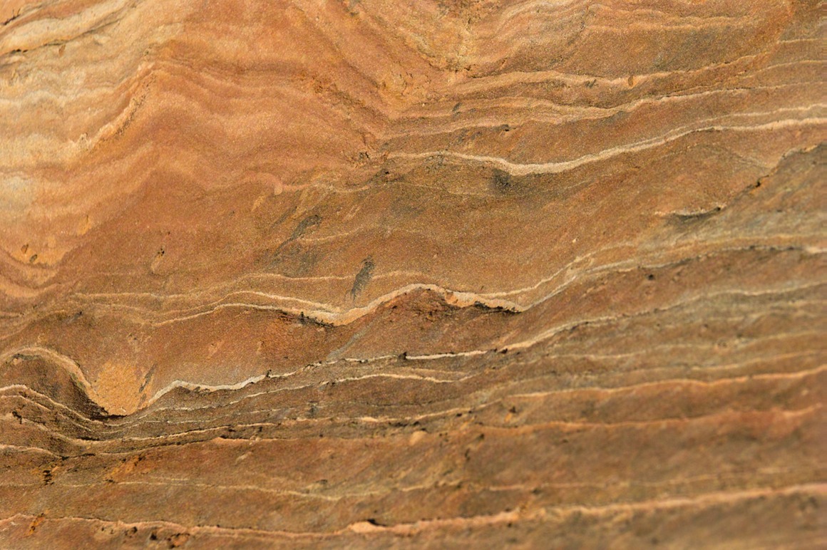
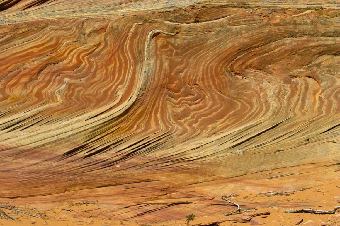
A couple comments about these next two. We came upon an area that had rocks that looked as though they were folded paper. Delicate and curvy. It was really incredible to see!
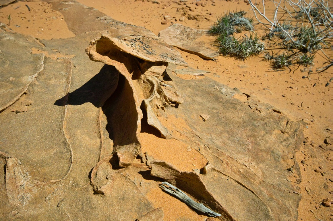
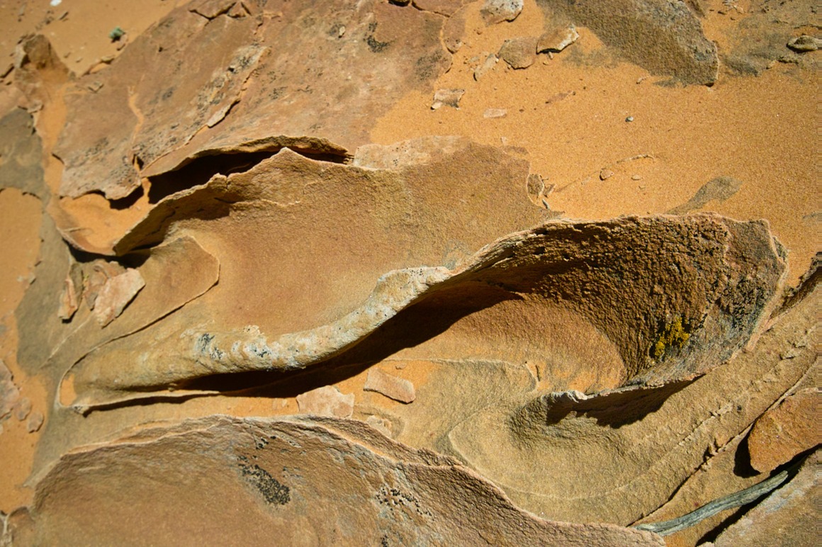
These fins were absolutely breathtaking
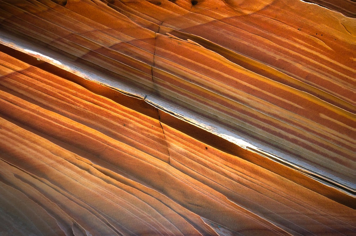
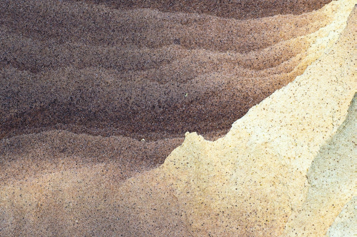
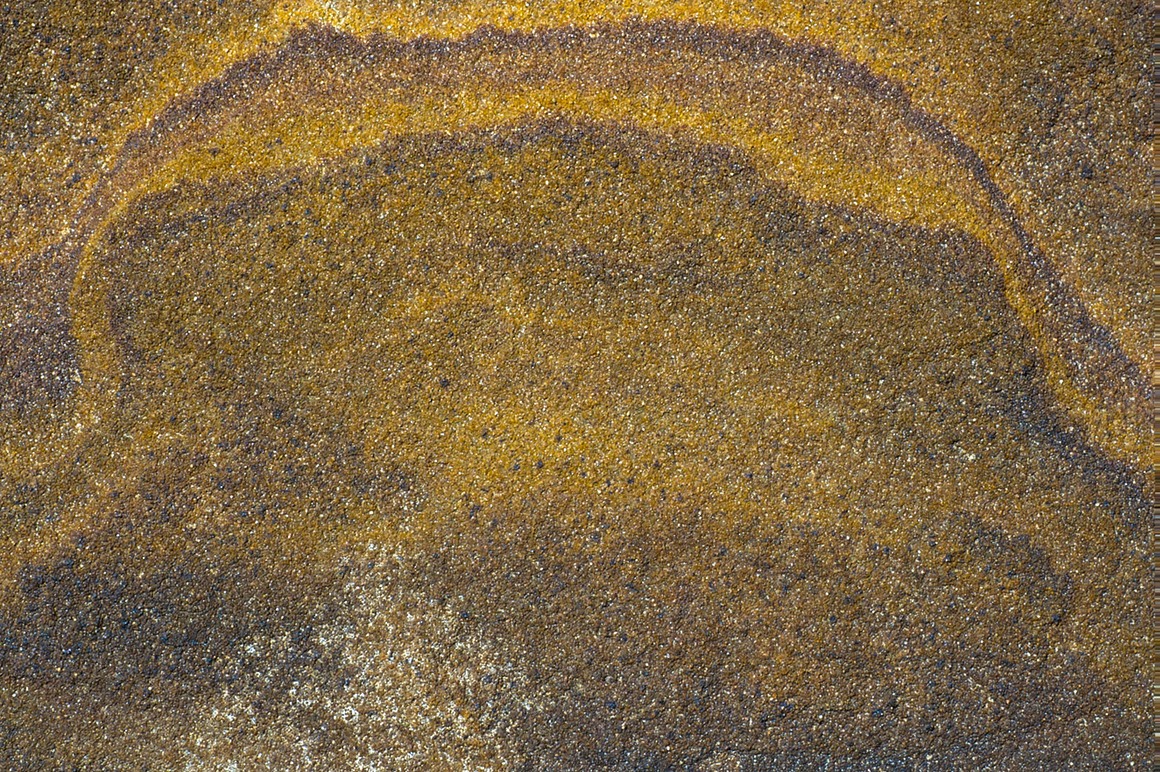
Hope you enjoyed the bounty we had at SCB!
The American Southwest: Post 11–South Coyote Buttes
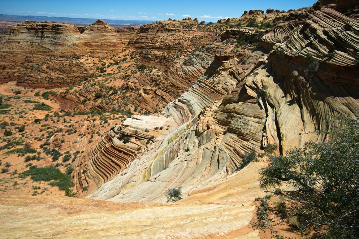
I've run out of adjectives to describe these wonders we've been seeing. South Coyote Buttes is a much harder drive than the Wave (you must have 4WD). It's more spread out, so you have much more hiking to do. But it's incredible. The photographic opportunities are endless. You'll have to remember that most of the photographs we're making are when the sun is straight overhead. Horrible lighting. How can we work with that??
How? Color. Texture. Contrasts. Shapes. They're all over the place at every turn. This area is incredible and incredibly fragile: I see why they limit the visitors to here. Sandstone fins so fine you could shave with them. Normally I don't like walking through sand (because of footprints), here we had to try to avoid most of the rock because most of it is so fragile as to crush underneath our feet. The colors here were glorious: red, yellow, gold, rose, purple, whites. Sands were made of this stuff to and they often appeared to be on fire. A nice contrast to the lush foliage of the spring desert.
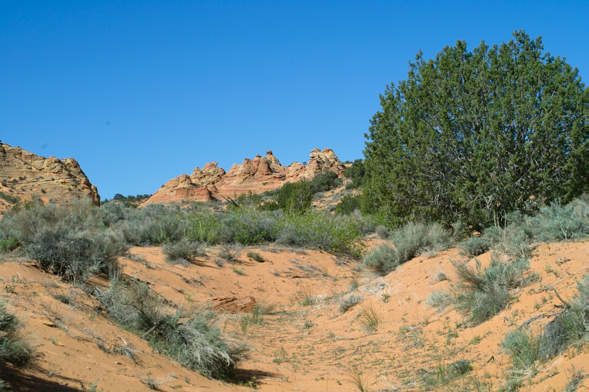
The walk in with the sandstone formations in the distance
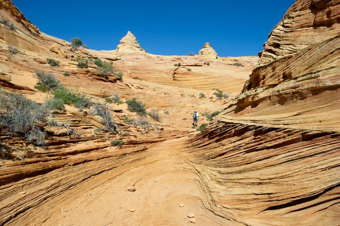
Our entrance into a windswept land of sandstone fins…
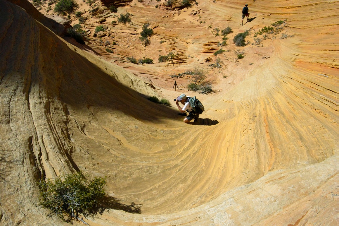
Rick and Kendall shooting rock abstracts
These colors and textures are astounding!
In this crazy land, it's hard to get a level horizon.
Lemon chiffon…
Here's Domo riding the stripes. The striped rock in this area was crazy. These rocks look a lot like the brain rock of White Pocket, except they're very yellow.
A striped rock. Note the fragile flaking going on.
Sand and sandstone formations. No hoodoos around here, mostly these teepees.
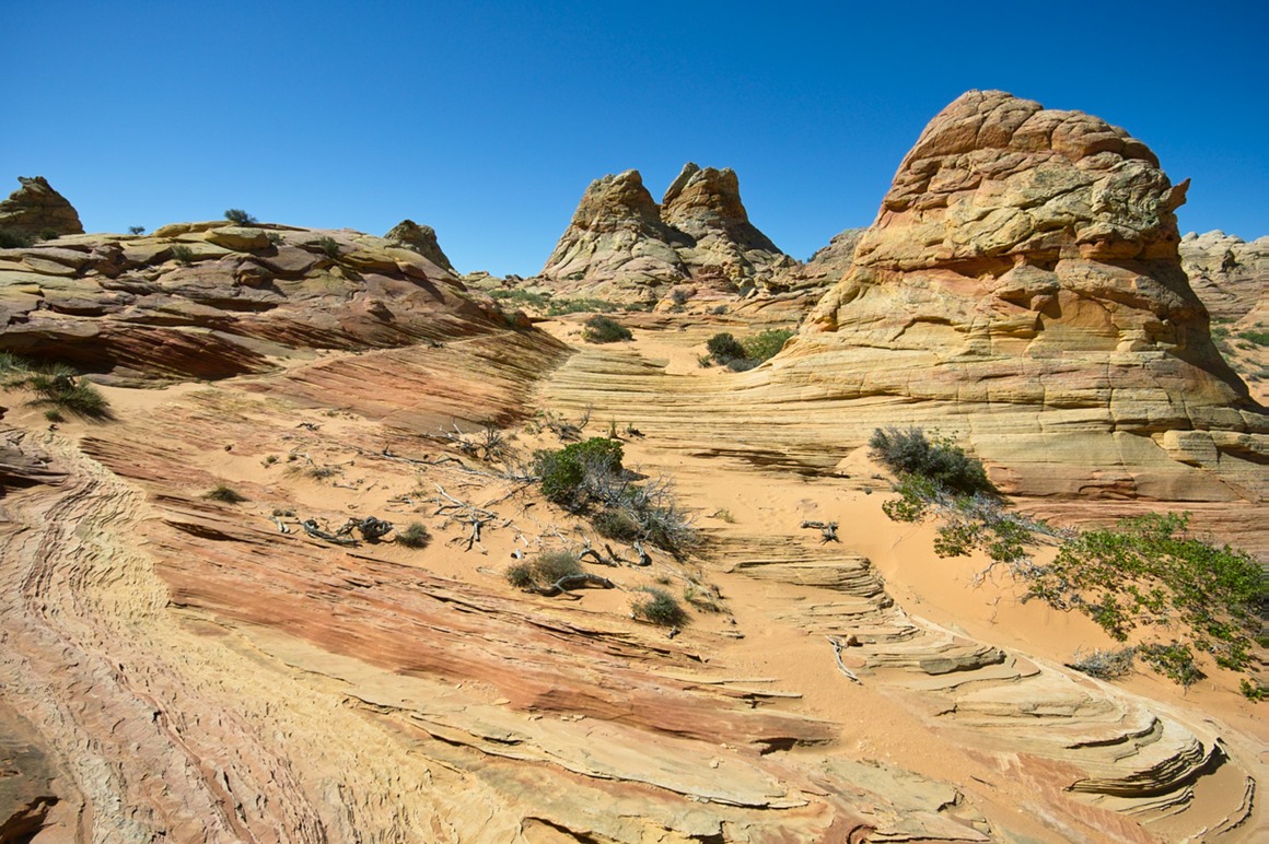
It looks like a crazy wedding cake. A 40' tall wedding cake!
These sandstone fins in the foreground are as fragile as they appear. Walk around them!
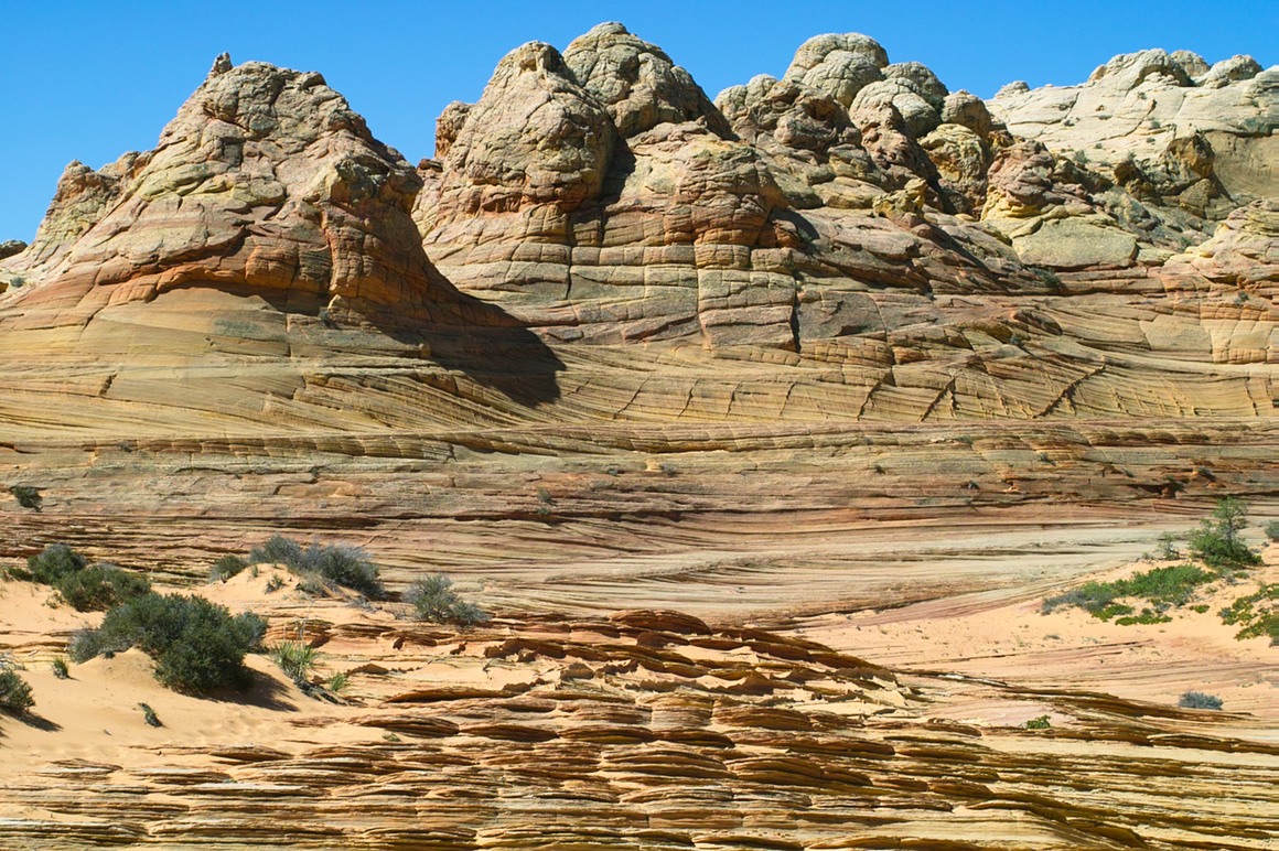
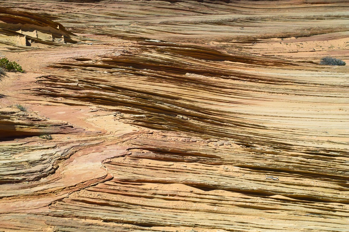
I don't know how you get the vertical fins with the horizontal ones…
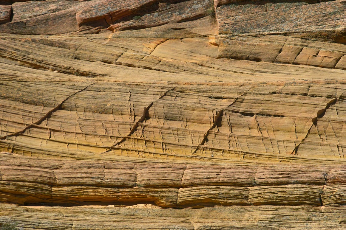
And this reminds me of those stacked NMR spectra we used to do. What a crazy formation!
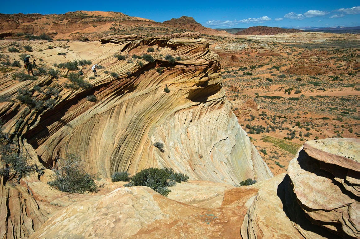
This too looks incredibly fragile, but now you have a Kendall in the background to give some size perspective. This formation was huge!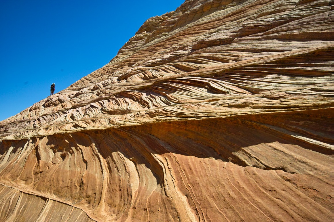
This boulder was composed of rock 'paper'. Just crazy…
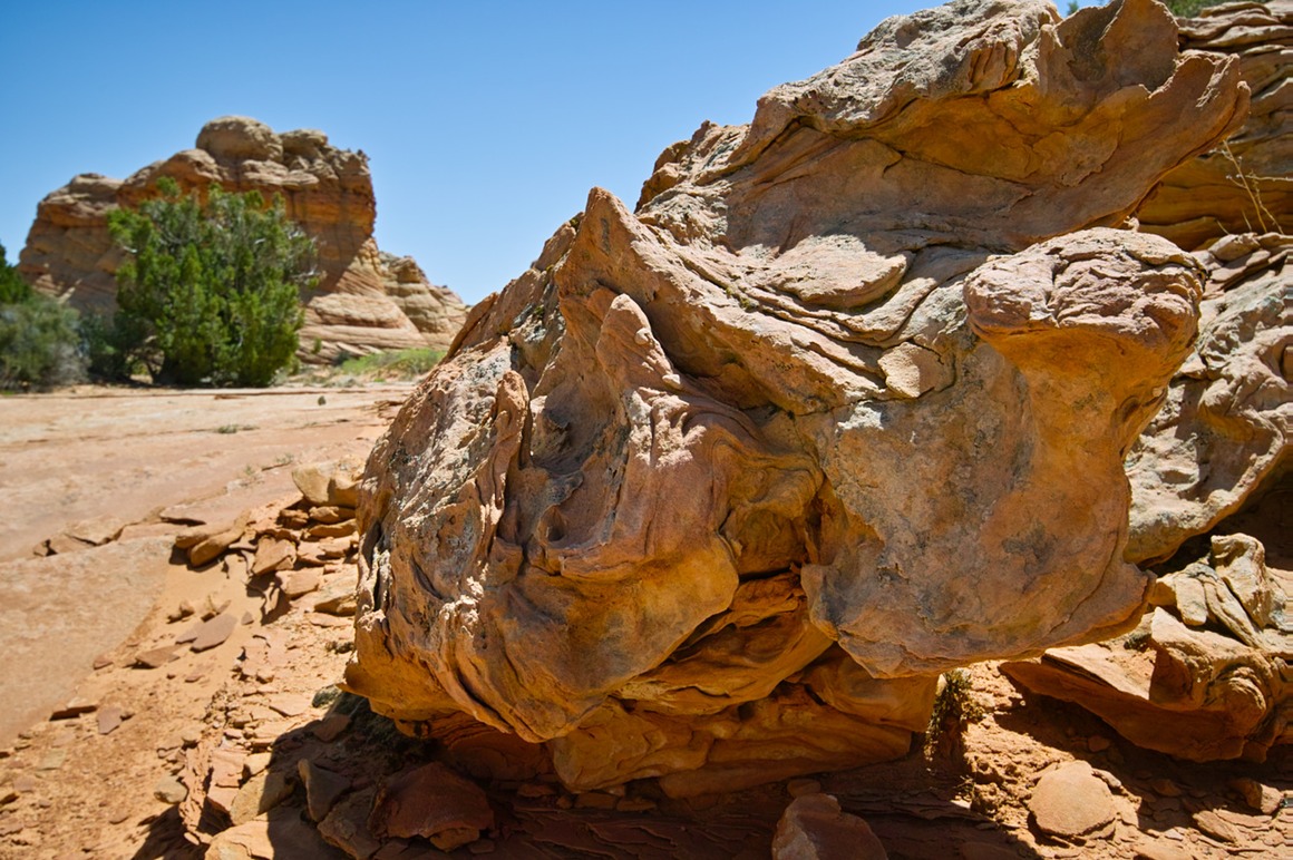
A nice view from the backside of this formation.
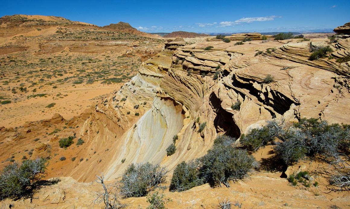
Kendall setting up a shot. Look at the crazy layers in the backgroun!
Bad horizon again. This teepee is enormous
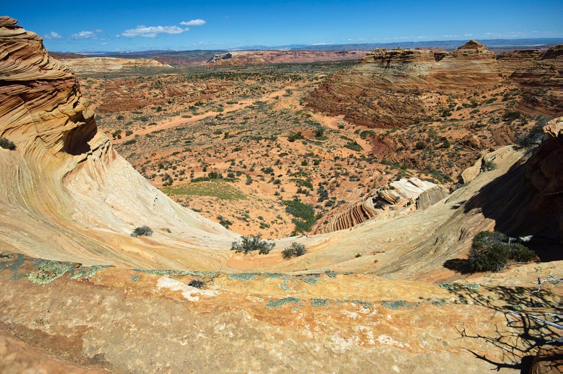
The views off the back side (north) of this formation were stunning. I would have loved to have had an extra day to hike down, stay overnight, and hike the formations on the other side of this canyon.
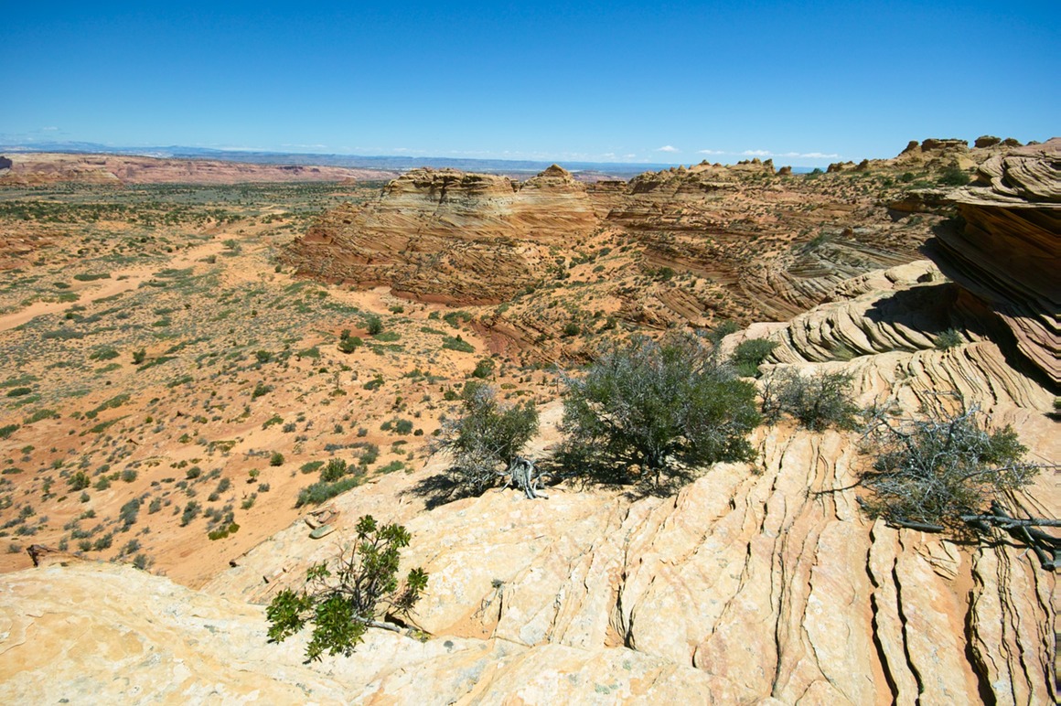
I did mention color and texture, didn't I?
This would not be a great place to be standing in the middle of a thunderstorm. It's clearly a runoff chute!
Again, to get appropriate scale, you can see Rick (white) and Kendall over on the left side of the photo. And these formations are not safe to go to the edge on, because you're on some mighty thin sandstone!
Why do I have the urge for chocolate right about now?
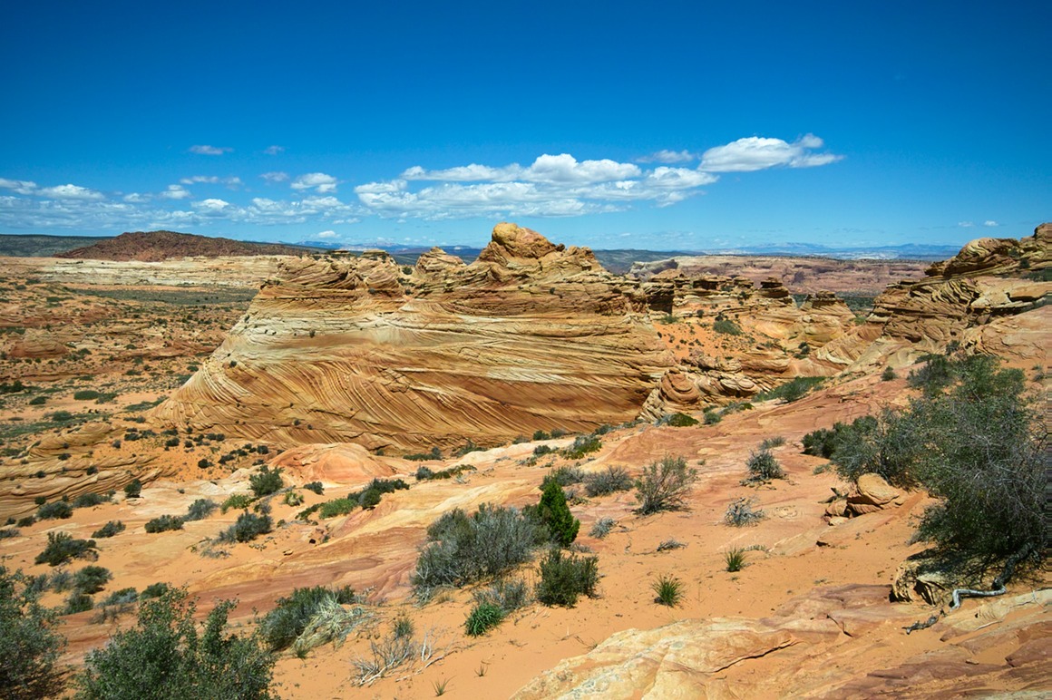
Rick knew this formation as airport tower rock (or something like that). Here's the backside view with the 70-200
And here's the frontside with the 10-20.
More craziness. Note the bright yellow stripe in the middle (moving horizontally). 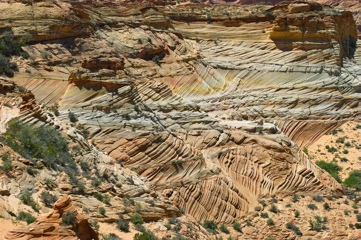
Here it is through Kendall's 50-500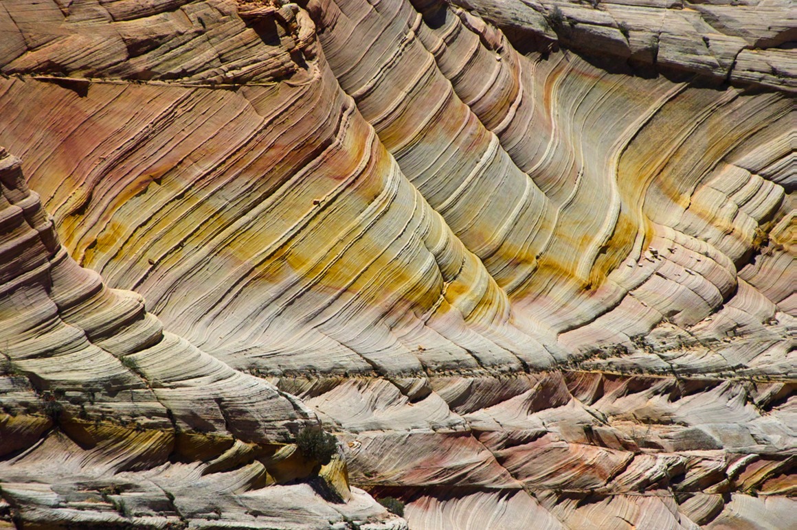
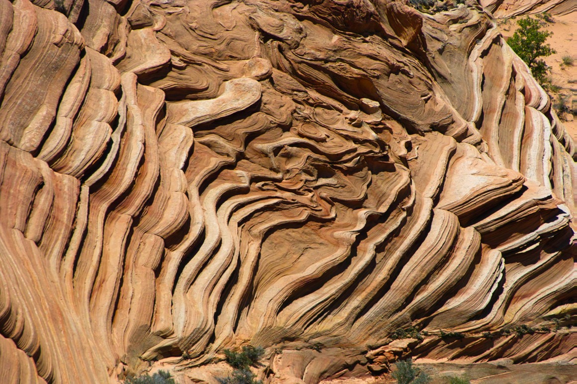
Domo wanted to take in the view...
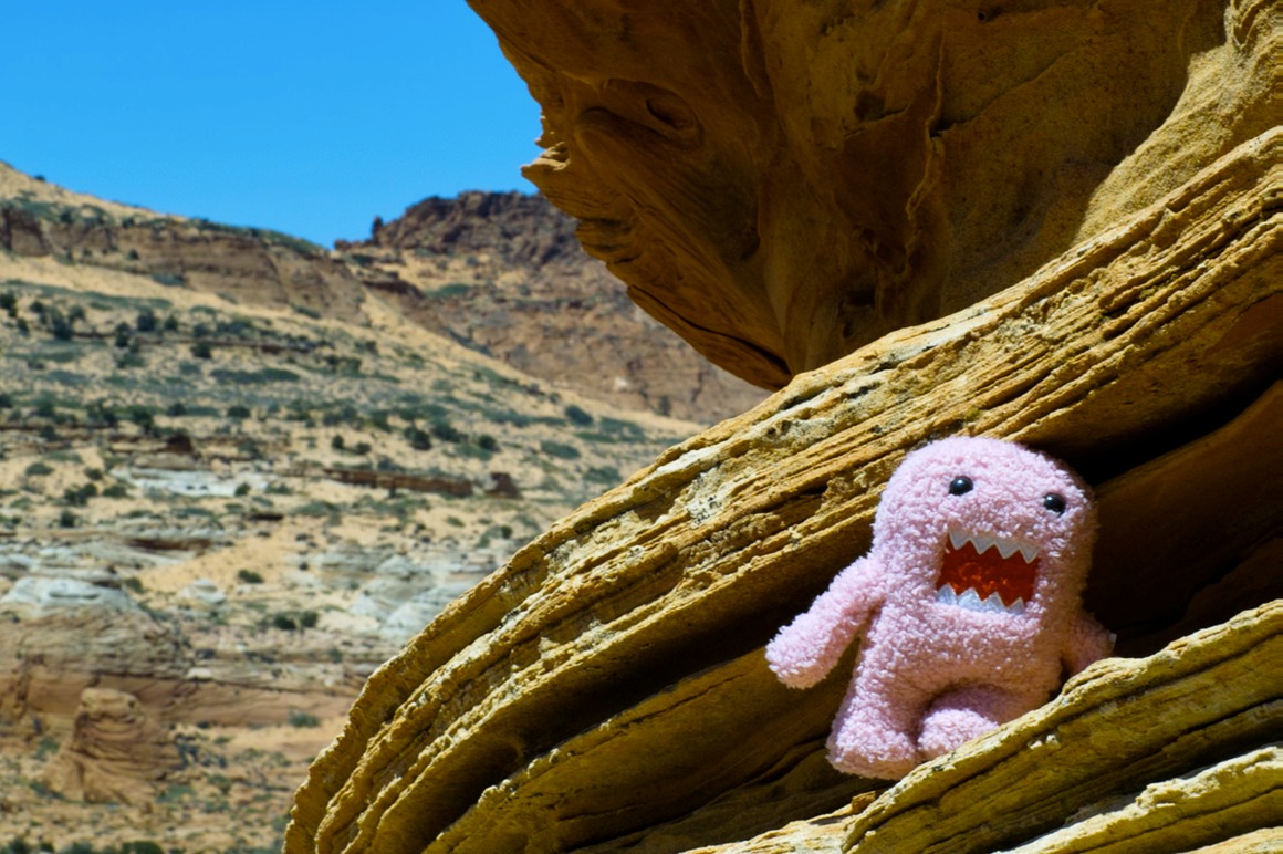
We hiked down into another little mini-canyon area that had a lot of purple stone in it.
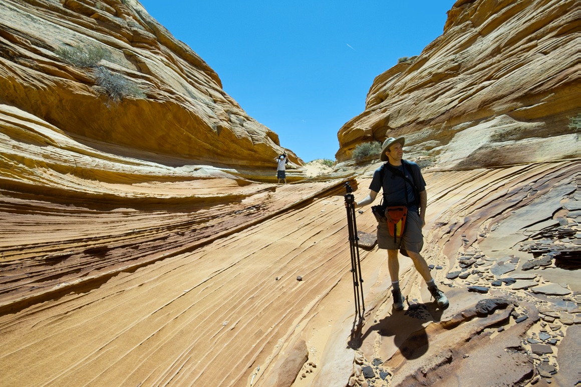
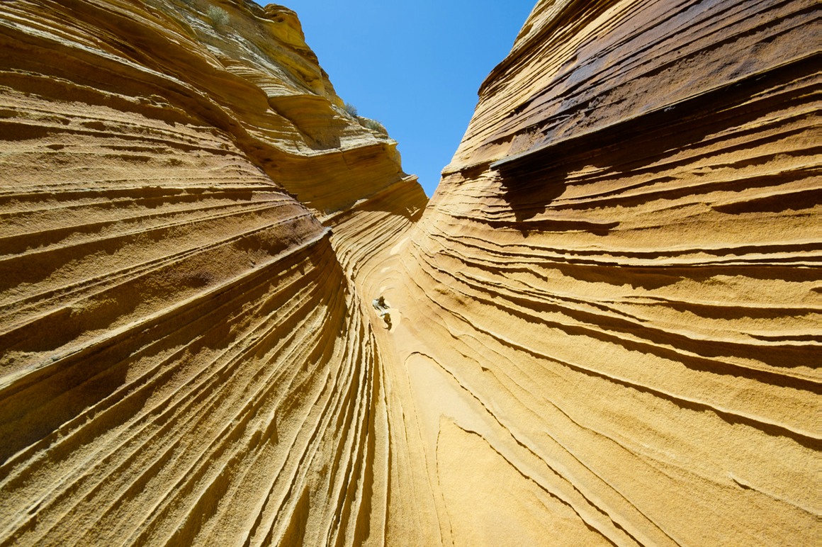
Note the delicate fins on this formation.
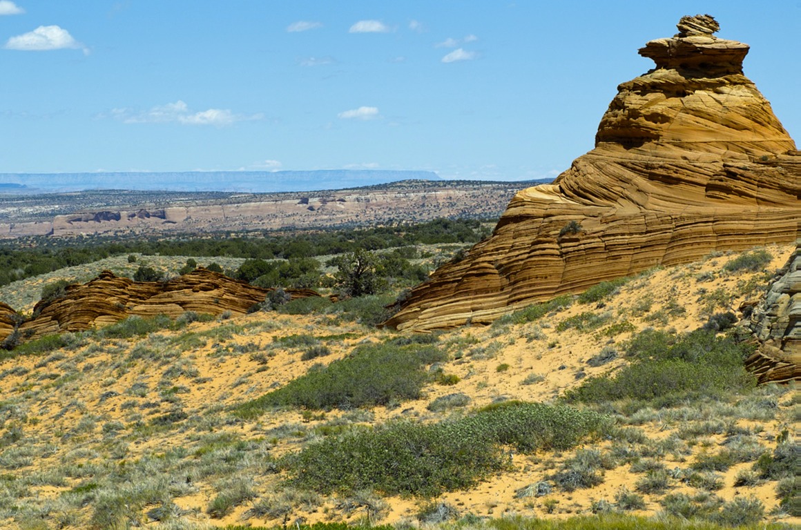
A great view out once you get to the edge.
We decided to hike over to these formations. We found a nice spot under a juniper for a little siesta!
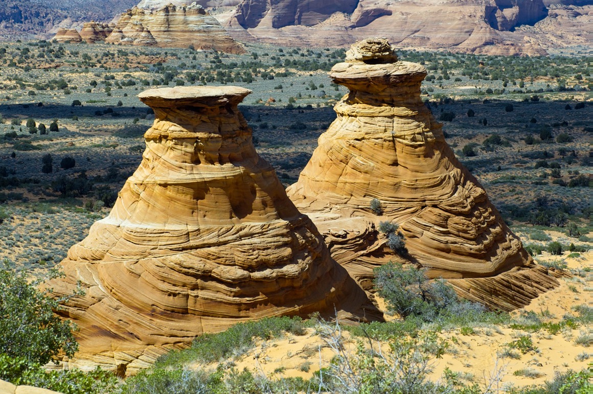
Local fauna 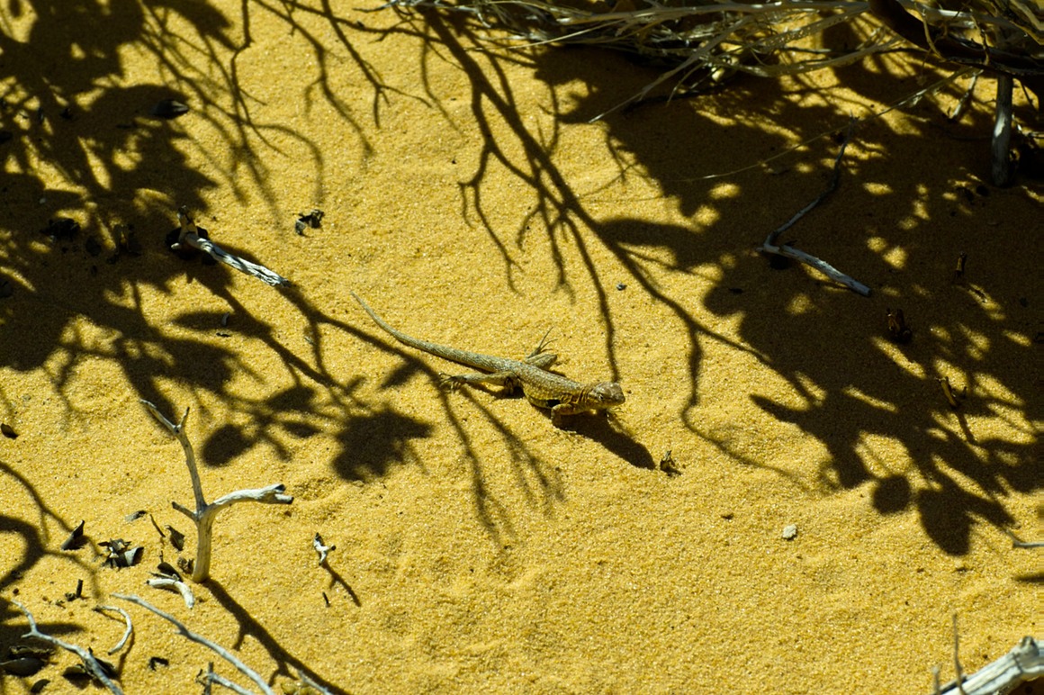
So after an action-packed shoot (probably around 7 hours or so, we packed our gear and headed out. But we'd shoot one more area this day (Bentonite hills), and that scenery was incredible as well. This was taken around Paw Hole as we ventured out.
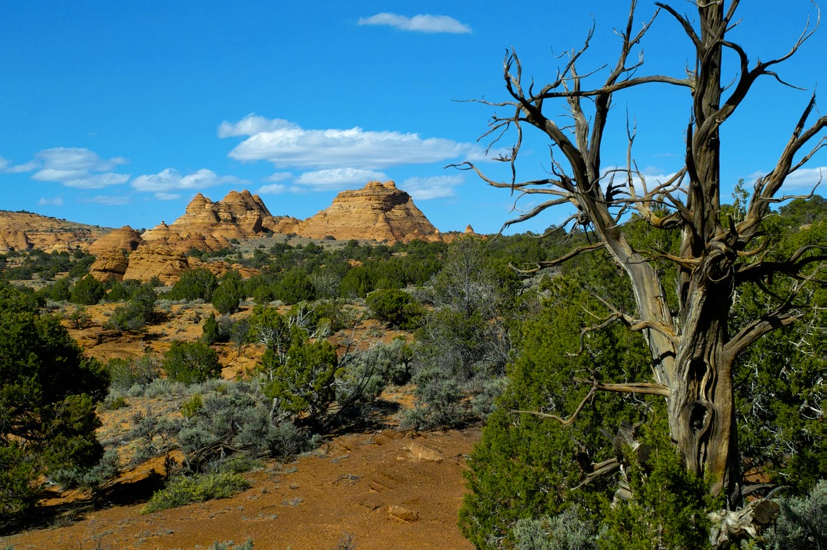
What a day!
The American Southwest: Post 10–Drive to Cottonwood Cove
A short post, for a refreshing change. We had a nice relaxing drive from White Pocket to Cottonwood Cove, the eastern entrance of South Coyote Buttes. I'd also mention that there were no cottonwoods to be seen. We passed some fine scenery on the way…
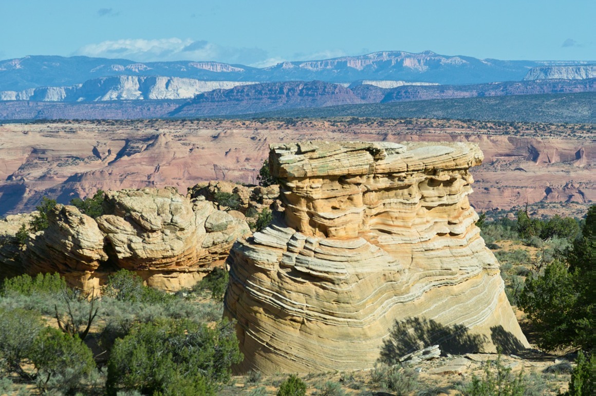
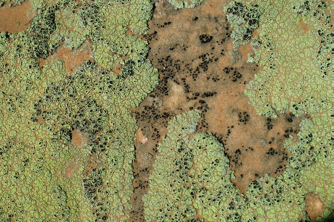
And I got warmed up with rock abstract art. They'll be another HUGE post of these from South Coyote Buttes after the next post...
So, with the sun rising out of the east, we jumped out of the Jeep (first ones there) and started to hike into the South Coyote Buttes area.
The American Southwest: Post 9—Sunrise at White Pocket
After an incredible nights sleep (except for the coyote nibbling on my ear), we dragged ourselves out of the sleeping bags and got ourselves ready for another 'sunrise' shoot. Where would the light be good? What would be the right spots to catch the 'glow' of sandstone in the morning? What the heck was I going if I ran out of batteries in the middle of nowhere?
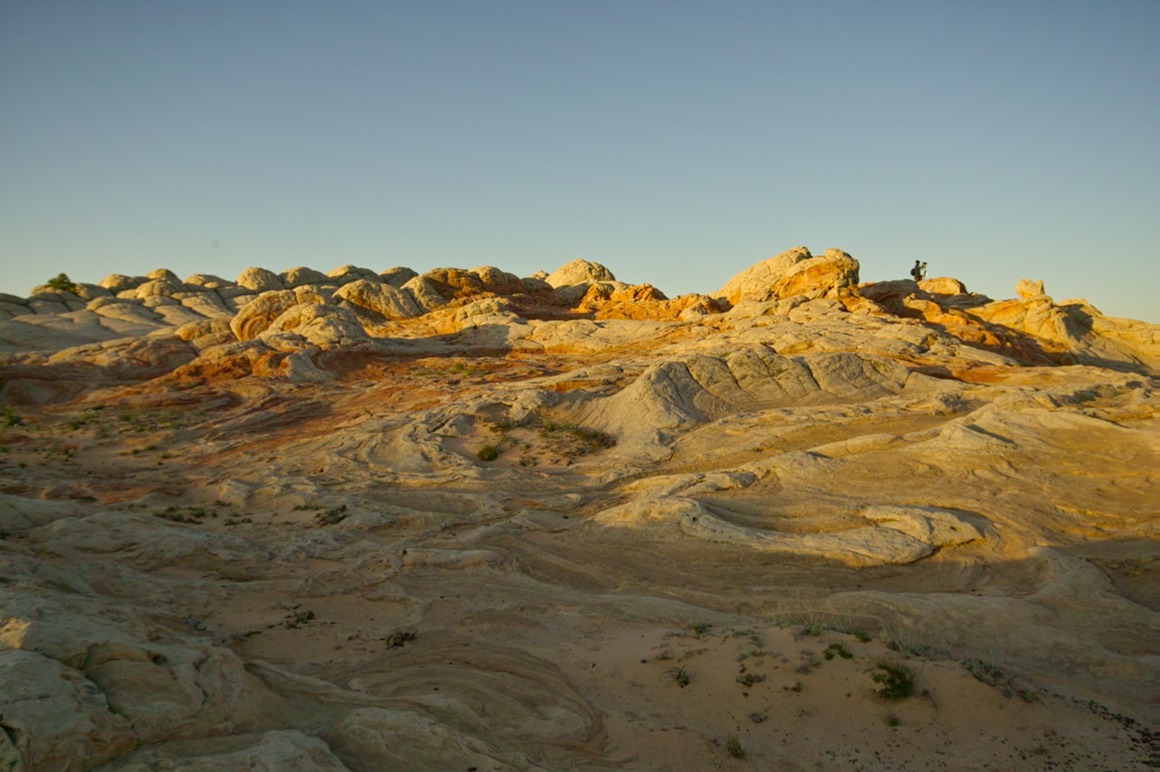
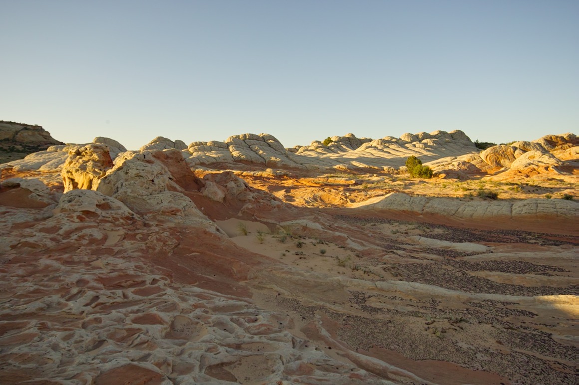
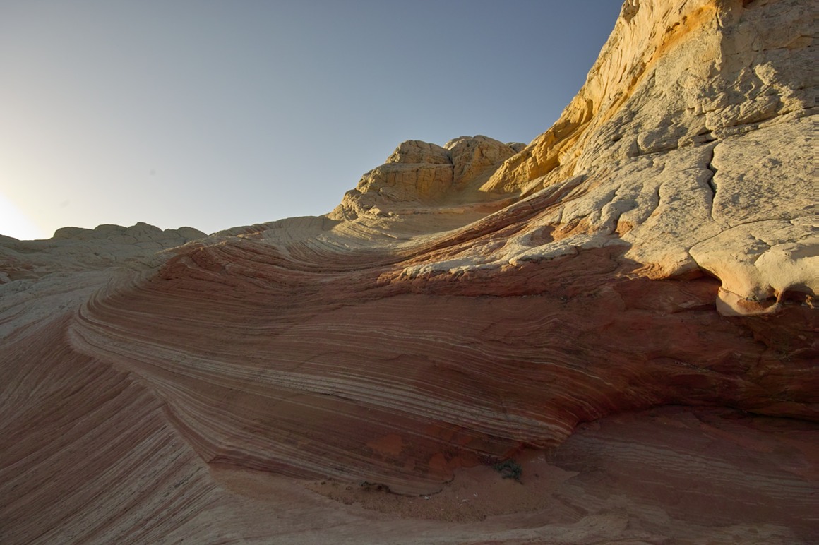
I honestly didn't look at these photos until after I got back, because I didn't think I had any real keepers. We decided that White Pocket isn't really a great morning location. So with that said, here are a bunch of really nice shots that surprised me...
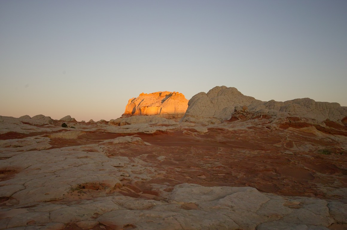
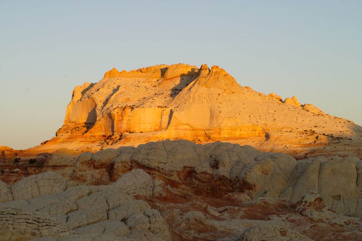
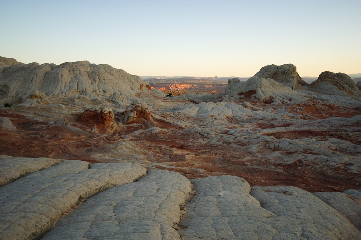
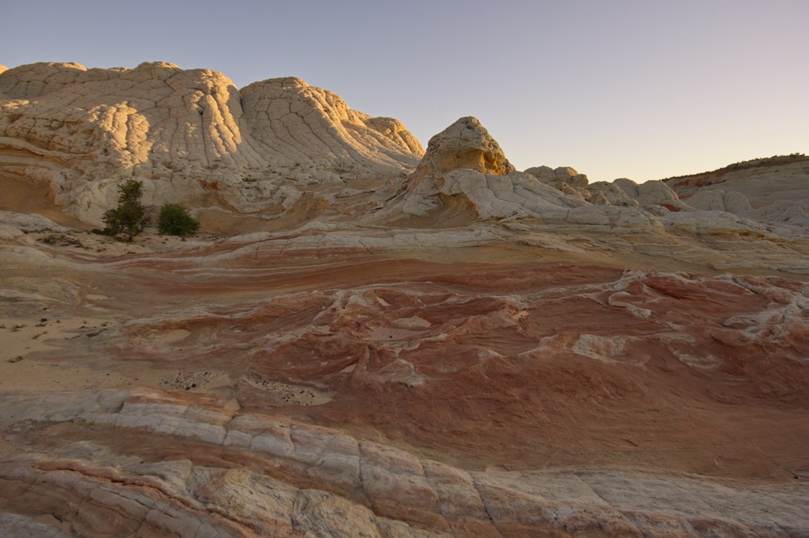
Rick doing some rock swirl photography.
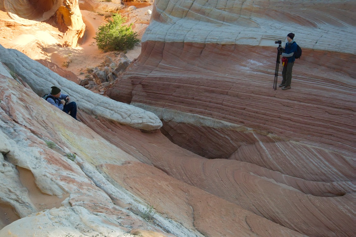
Kendall happily perched on red rock
One flower shot, just because I can't help myself.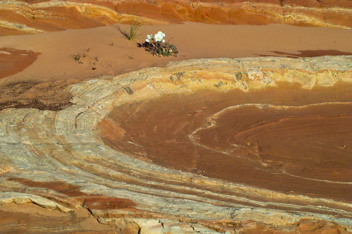
So, this becomes the morning of our best, most action-packed day of shooting. As I said, it turned out better than I thought. Hope you all enjoyed the view at a different time of day...
The American Southwest: Post 8—White Pocket
Let me preface this by apologizing for the length of this post. There's going to be about twice as many photos as my previous posts. Why? Sun, sky, clouds, and rocks! White Pocket is a location that Rick shot some years back, and he had figured that he would need a guide to get back here. Now we were here, and we had nearly a perfect day. Stunning sky with wonderful clouds. Another Dr. Seuss world of stone. The only downside was wind; on the top of this formation I would estimate the winds to be 50-70 mph. Serious wind.
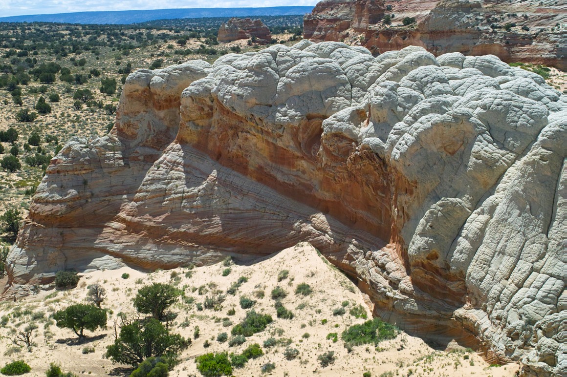
So, where to start? This formation is incredible: a mix of brain rock (no idea what it's composed of) and red and yellow sandstone. Brain rock is tough, sandstone can be very fragile. We were always careful to tread lightly. Although Susan and her group was also here, they didn't stay long and we had the place to ourselves (there was a group that showed up near sunset, but they left quick). You're out in the middle of nowhere, with no one else—and you have more stuff to photograph than you know what to do with. There's interest with any light (not just sunrise or sunset), so it's a phenomonal opportunity to get out and be creative. That's exactly what the three of us did—we all split up and followed our respective muses. I'll be interested to see what Rick and Kendall end up sharing from this shoot, because we were all in different areas for much of our time here.
This is a perspective of what we were looking at. Shot with the 10-20 mm
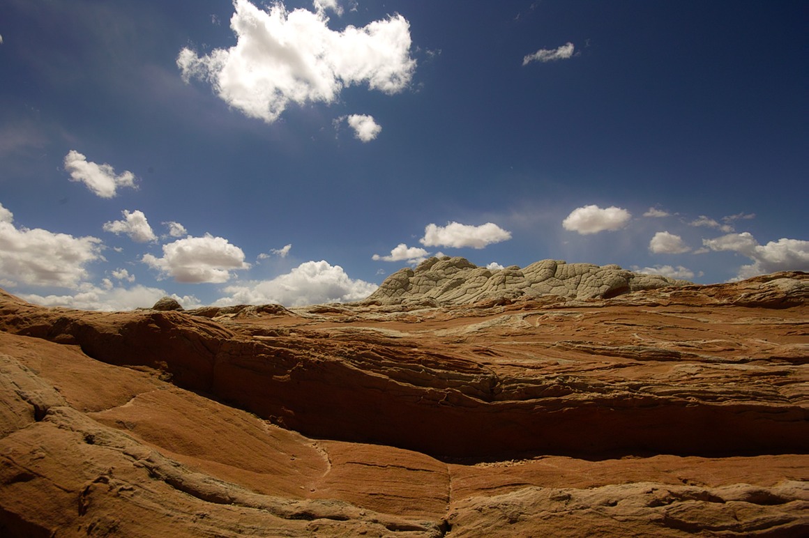
I was immediately drawn to this collection of stripes and swirls. I'll admit to having a hard time concentrating on taking pictures at times like these—sometimes I just want to climb and play! Here's a collection of the swirls for you.
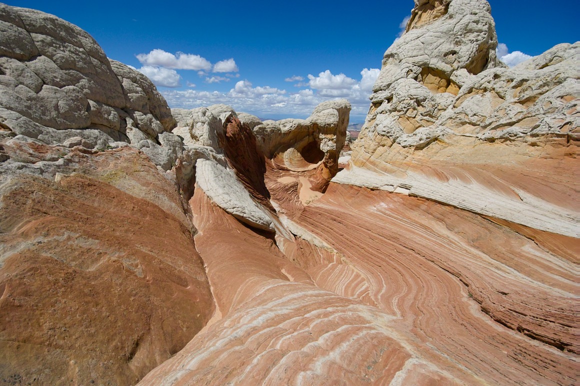
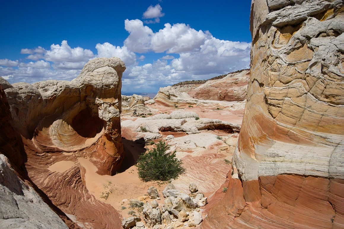
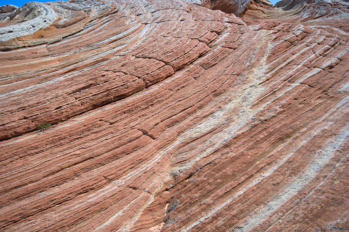
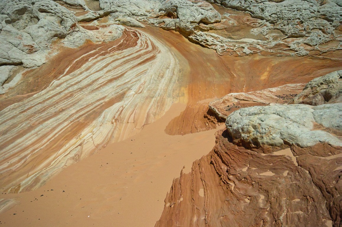
But it wouldn't be fair not to put on my trusty 50 and take some 'normal' shots of this area with the incredible vistas. Can you believe our luck with the clouds, the rain in the distance, and these delicious, rich colors?
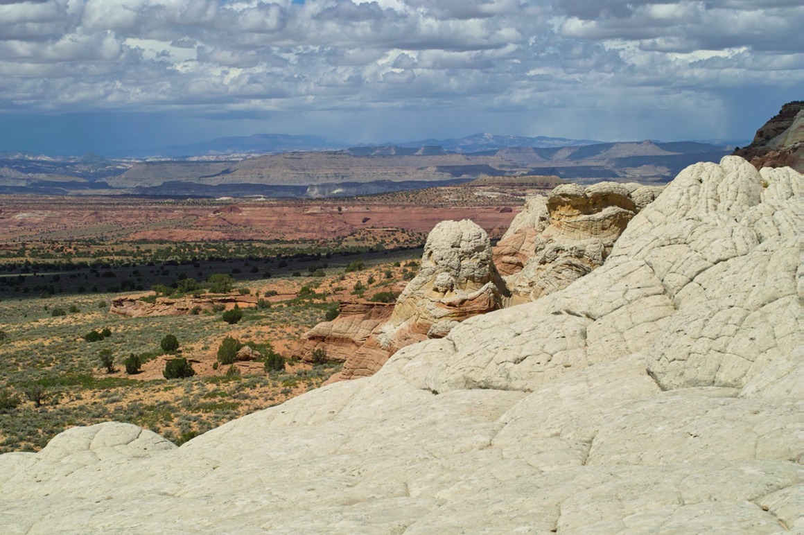
Rock art, with clouds. This is the top of the formation, and I decided to do a scramble to the summit.
Looking down, you can see the 'brain rock' and the ridges. I decided to set Chunsum's tripod down in a secure crevice to do the remaining part of the climb. It's amazing how much one crevice looks like the next in this stuff. It took me an embarrassingly long time to find it…
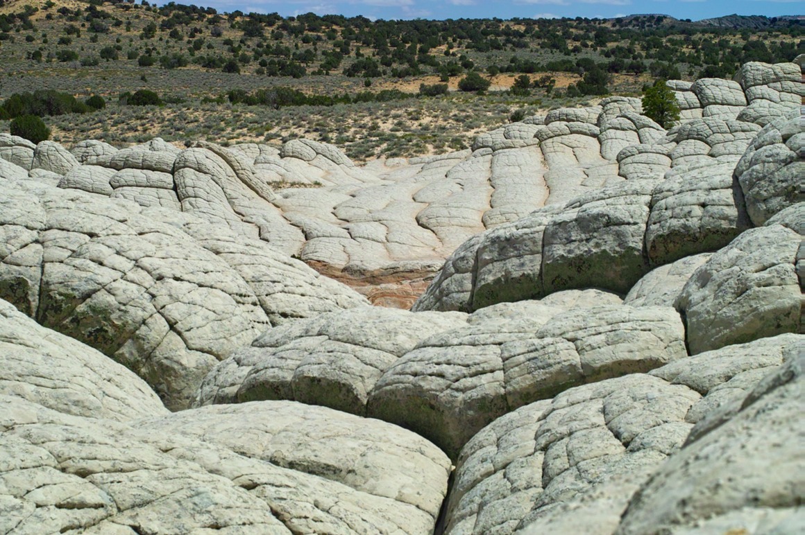
A view from the top. This is the next formation over (to the west). I didn't try climbing it. It was actually pretty damn scary up here, because I was into the teeth of a wind that was gusting to at least 60 mph at the top. My hat went flying (luckily went straight into a crevice and was easy to pick up).
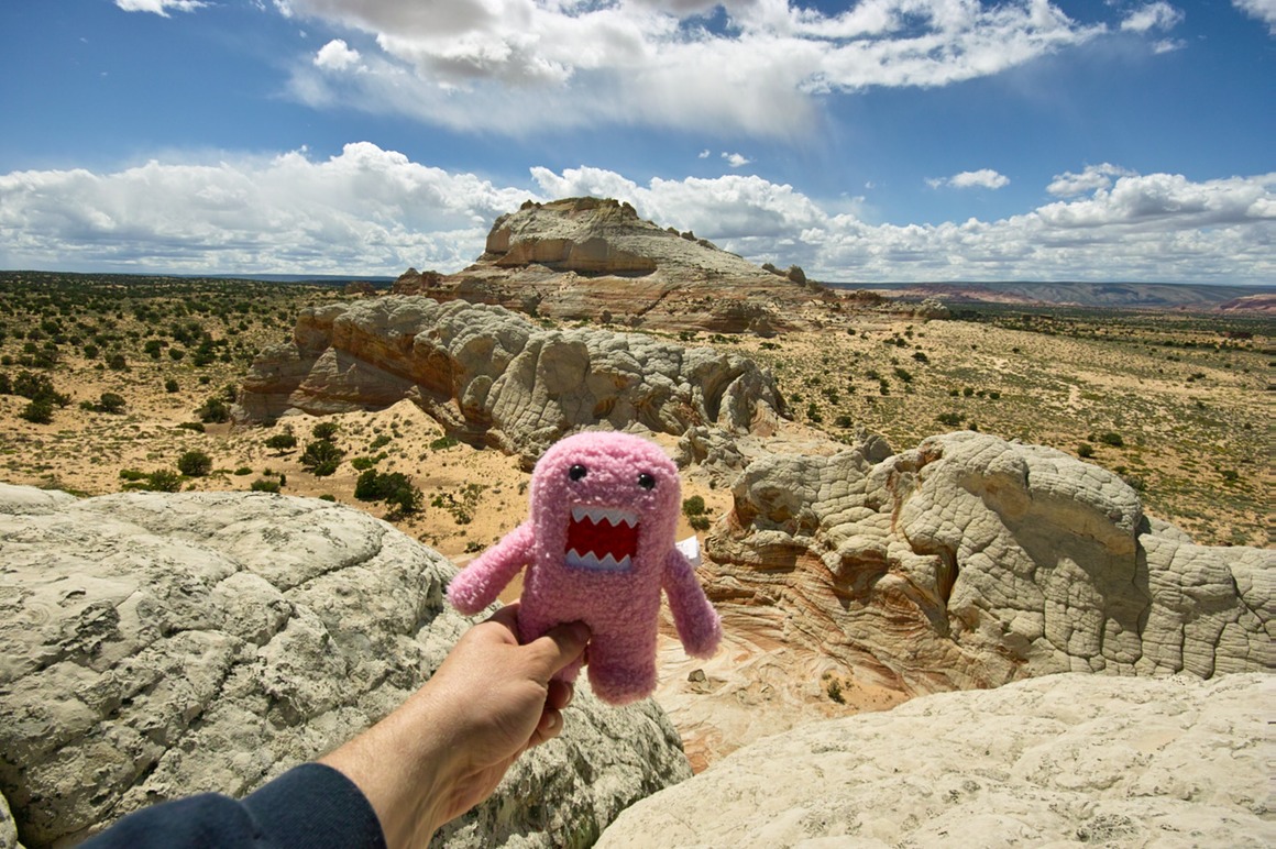
Domo was scared that I was going to put him down. This is shot with the 10-20.
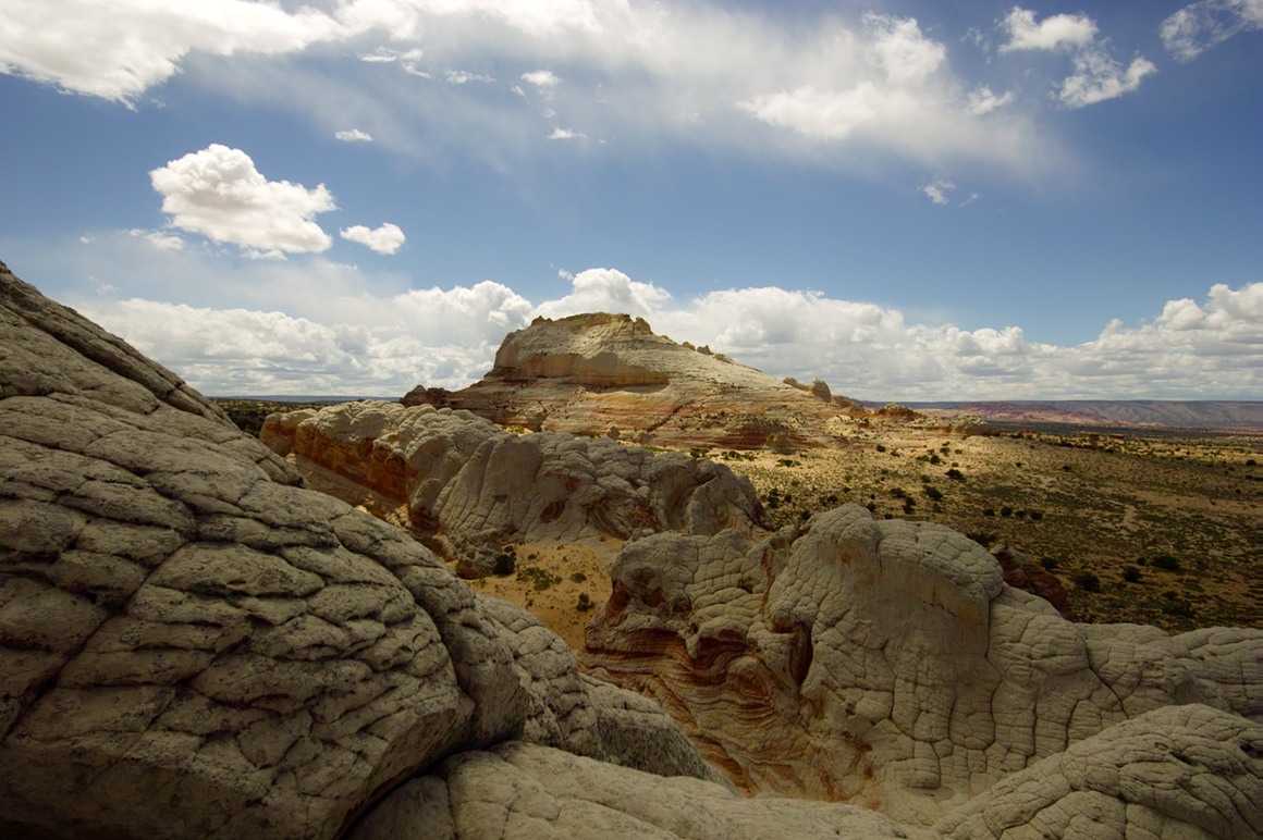
With high winds, racing clouds, and bright sun, you get lots of opportunities for 'shaft-o-light' on the landscape.
I know that tripod is somewhere around here…
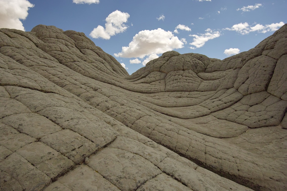
This area is nicely lit:
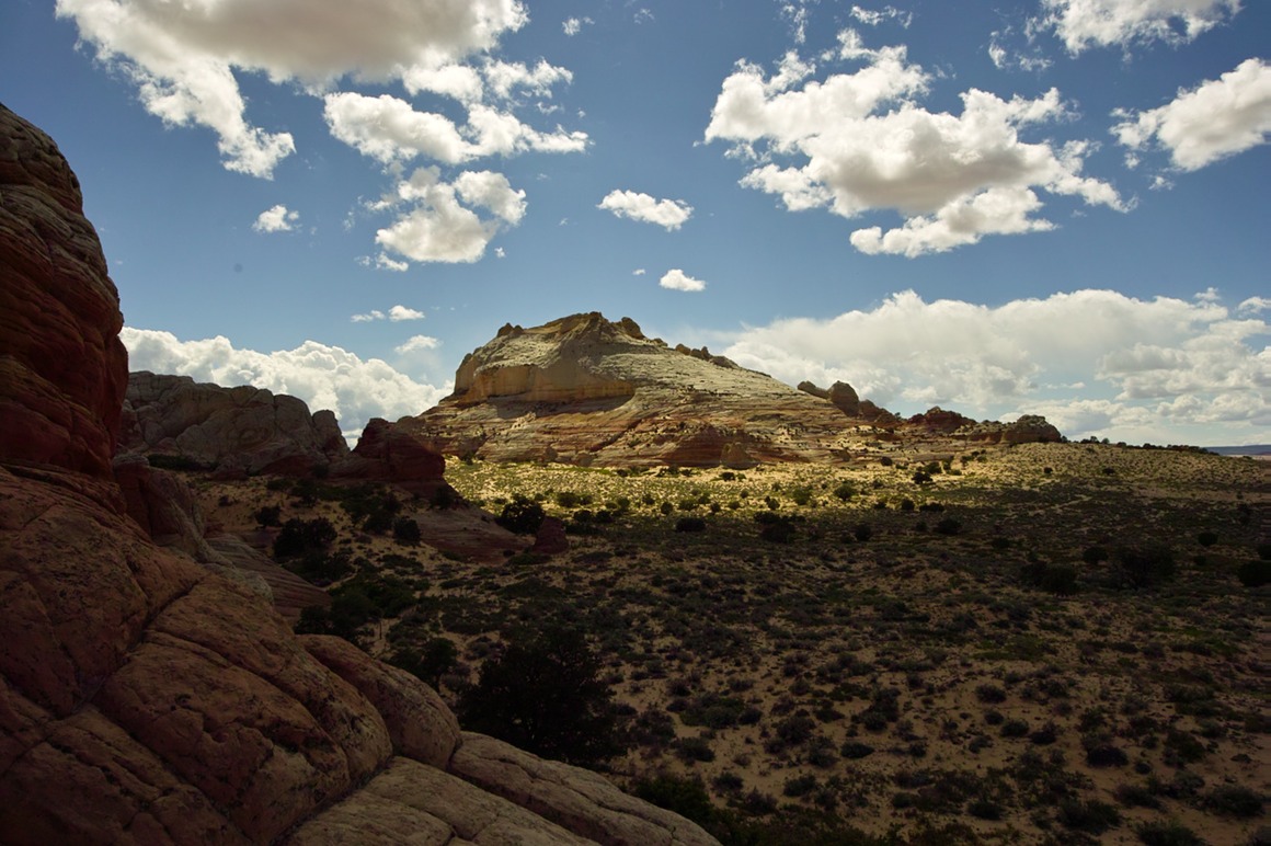
But then the sun comes out around where I'm shooting from and you have this:
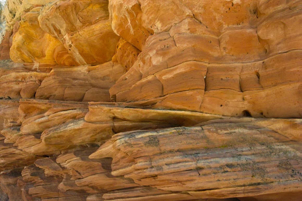
More fabulous vistas
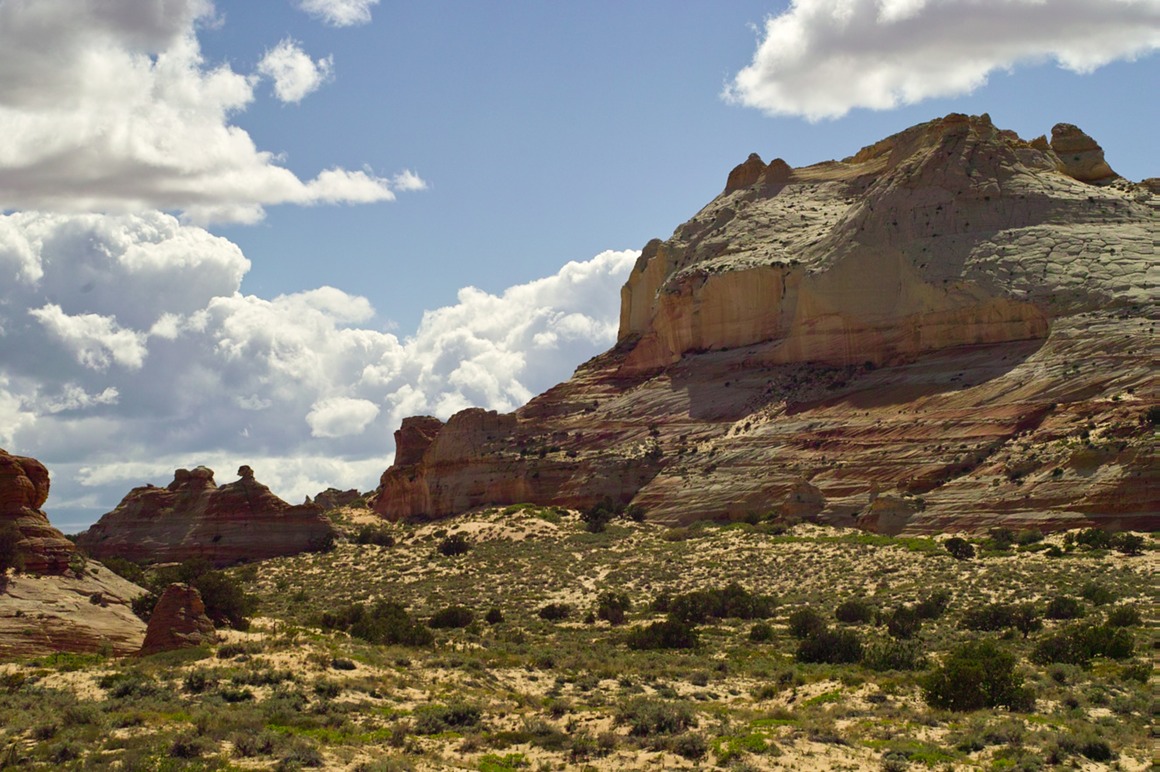
Eventually I worked my way back to familiar territory…
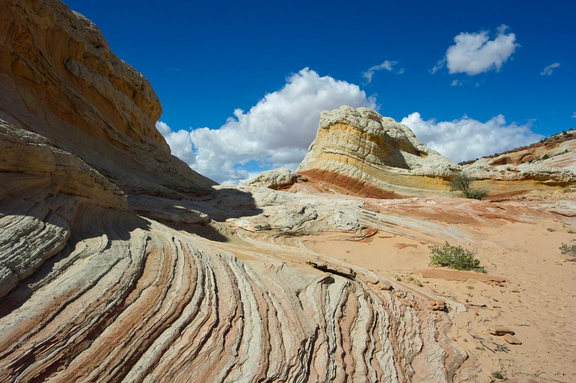
…and found Kendall
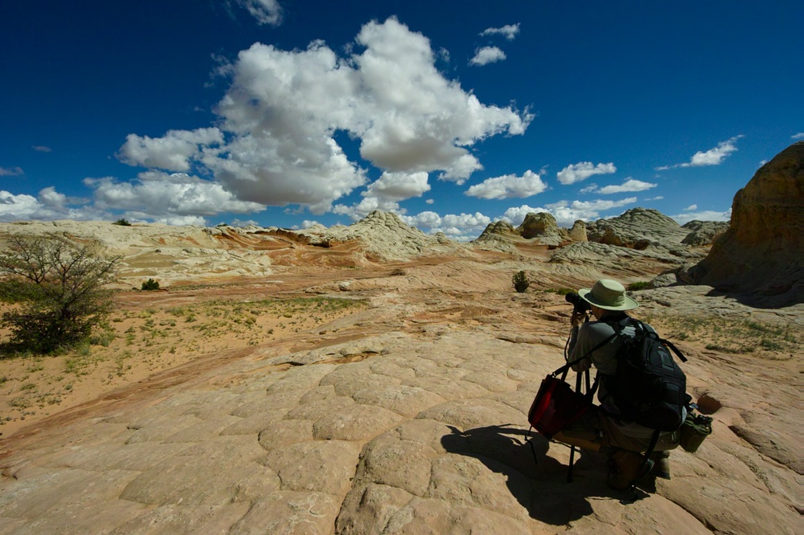
We traveled together and shot in the same area for a while
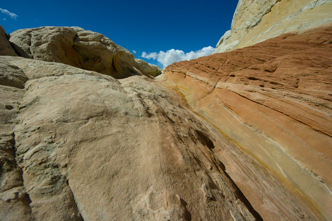
Find Domo-kun for extra credit!
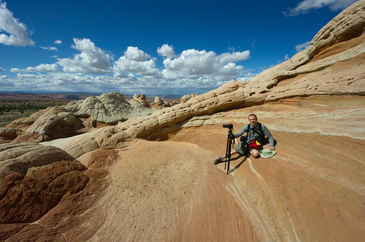
Here's a stunning example of flare, using the new 8-16 lens.
I got to try this lens for some time, and I have to say that it's terrific. It's actually pretty resistant to flare (I'm pointing it into the sun, which is right out of frame on the top left), it's well built, and pretty darn sharp edge to edge. If I were recommending a wide angle to someone new, I'd pick it over the 10-20. I love my 10-20 and will probably keep it (and there are other lenses that I'd want first, like the new 85 (didn't get to test), the 50-500 OS (did get to try), and the 70 (defines 'sharp').
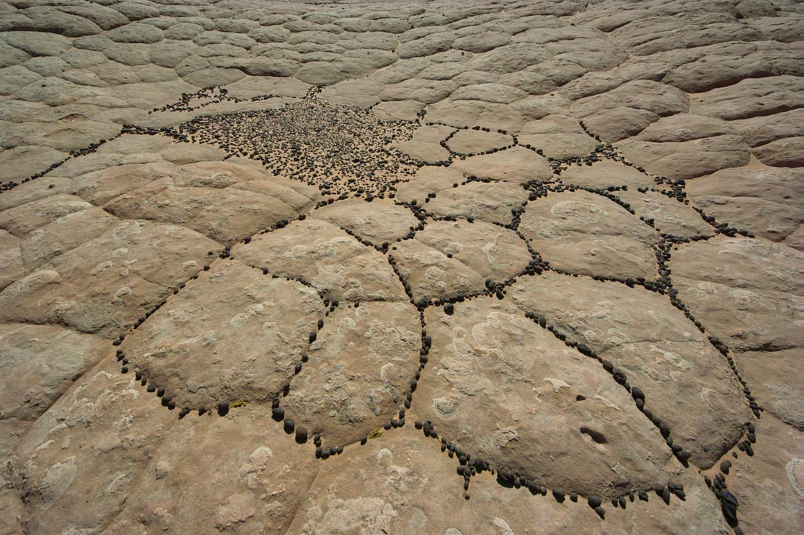
One thing we wondered about. There are all these dark pebbles around here. There's no rock to suggest where they came from. This shot reminds me of a weird 'Go' game...
We meandered our way from this main formation over to a cave in an adjacent monolith. There were some petroglyphs on the wall outside the entrance, likely from the Anasazi
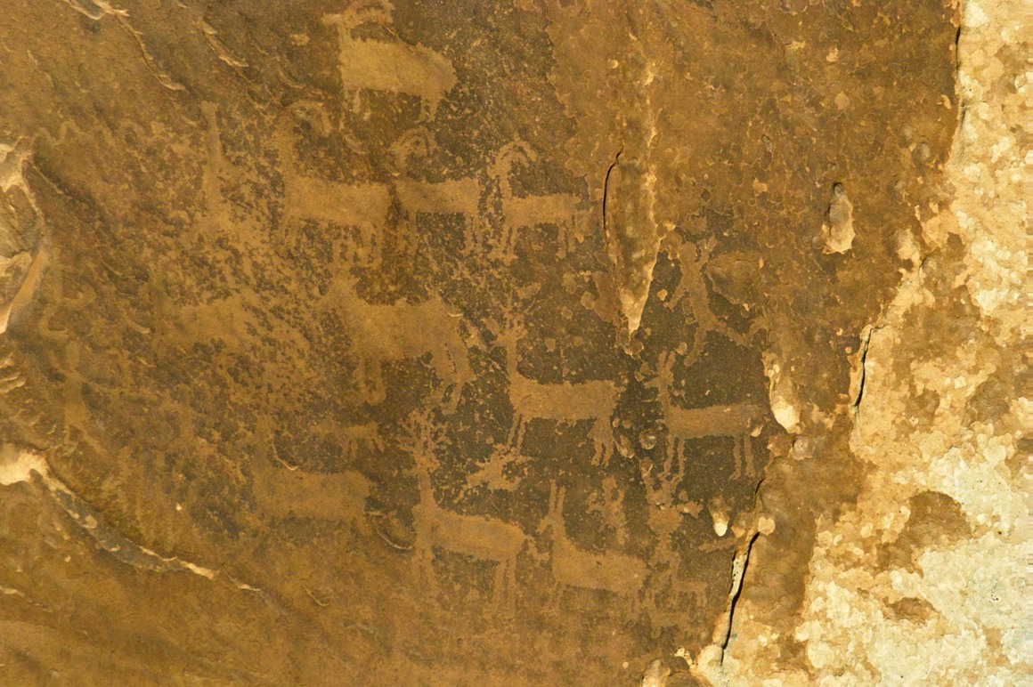
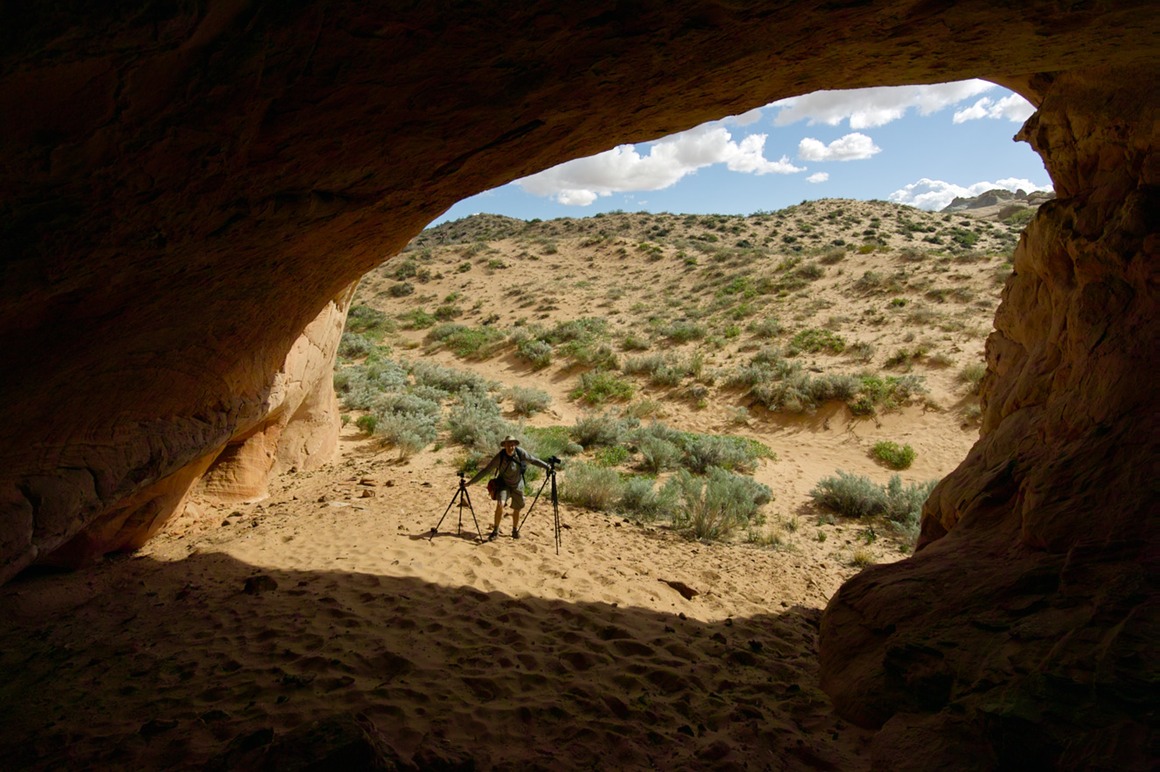
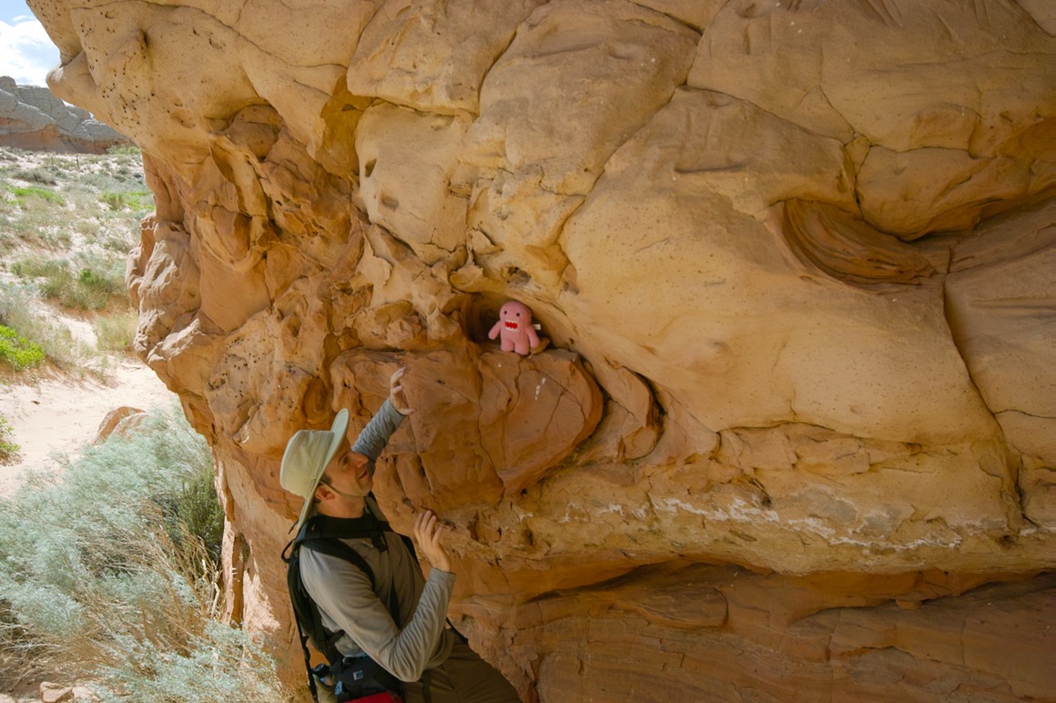
One can wonder about ancient cave-dwelling citizens, like…
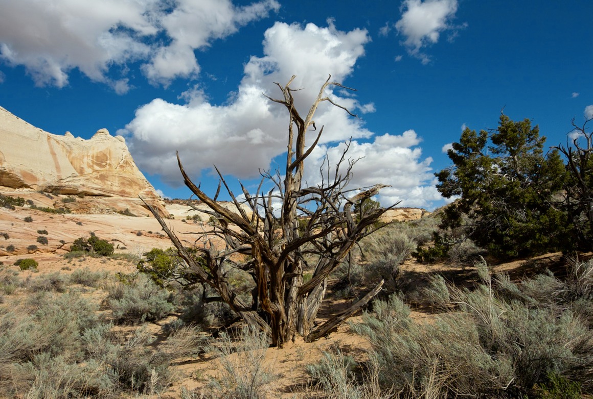
My token dead-tree shot.
By this time (later in the afternoon) I was wearing out and out of water. I decided to leave the guys and headed back to the car to hydrate and grab a bite to eat. That turned out to be a good idea—within 30 minutes I was feeling a lot better and decided to run around to the south side of the formation to shoot in an area I hadn't been.
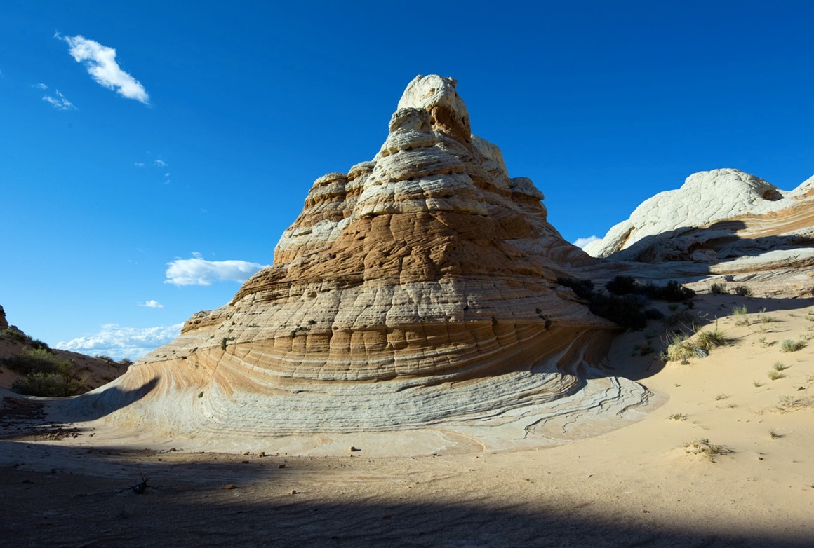
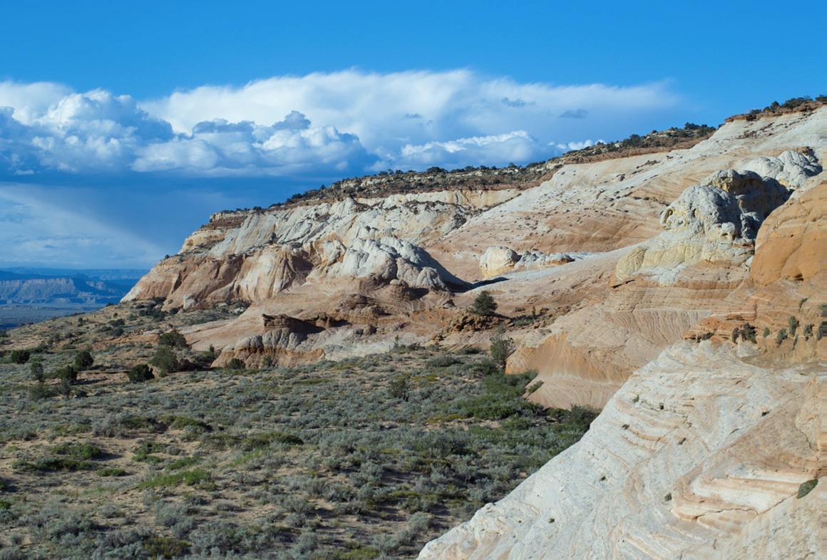
I met up with Kendall again, and we tried to scope a decent place for sunset. Unfortunately, it looked as if the clouds would conspire against us and not let us have that last bit of light. But persistence won the day, and we were treated to very nice late afternoon light.
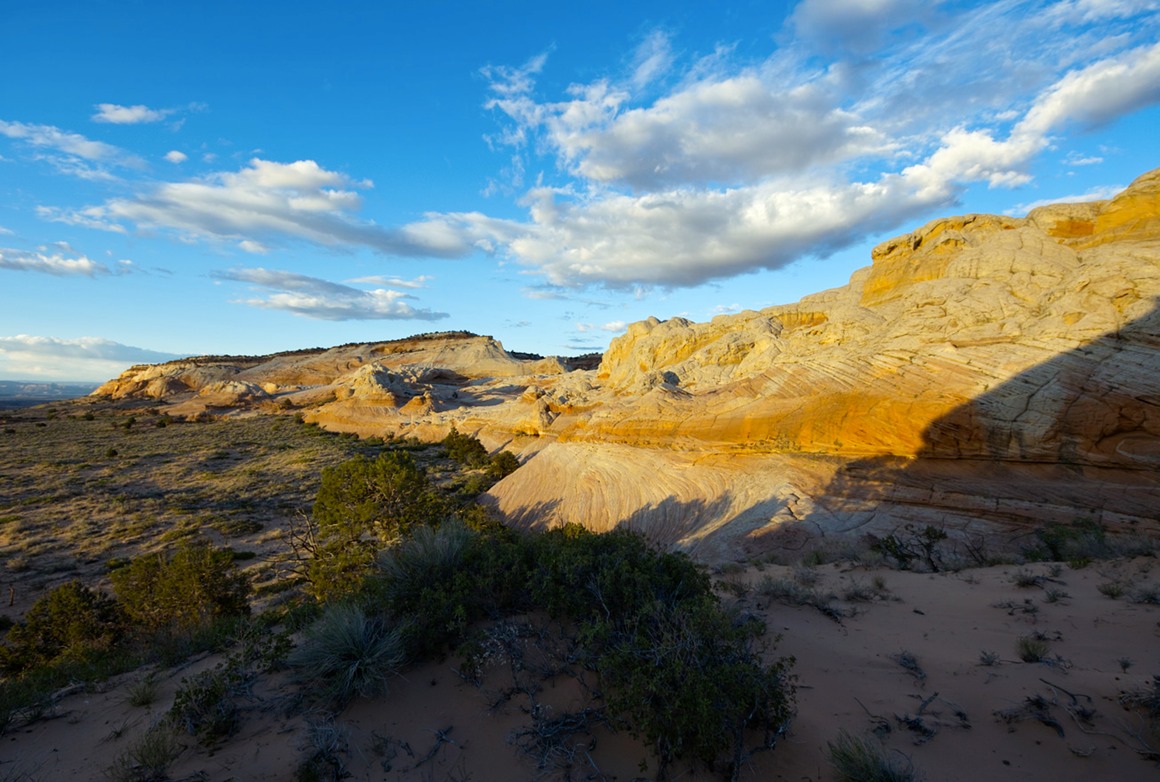
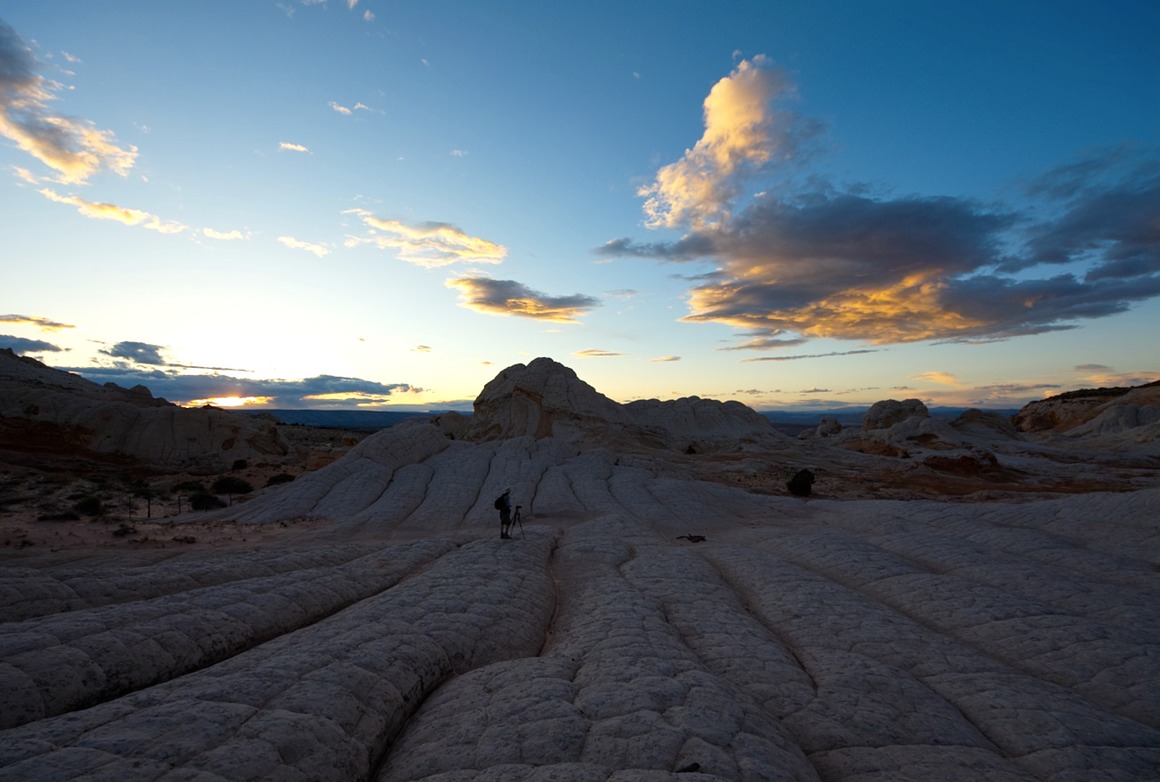
We made our way back to the 'camp' and had a late evening dinner of sandwiches and fruit (I forgot the beer!), and got our bedding out and slept beneath the stars. We were fortunate that the wind settled down (the air temp probably got to the low 40s/upper 30s that night). The moon was less than half full, and it set around 2 am. The stars were amazing; I got to see a big shooting star that 'exploded'. Coyotes serenaded us as the light went down, but were quiet during the night. I think we all slept soundly. Again, what a fantastic day for photography! And it would get better tomorrow!!

View Comments